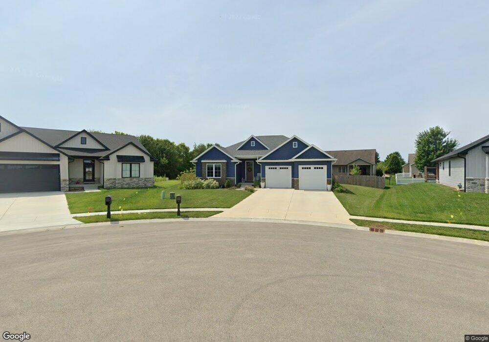
4600 Pearson St Springfield, IL 62711
Estimated Value: $473,330 - $535,000
Studio
--
Bath
--
Sq Ft
13,504
Sq Ft Lot
About This Home
This home is located at 4600 Pearson St, Springfield, IL 62711 and is currently estimated at $505,583. 4600 Pearson St is a home with nearby schools including Lindsay School, U.S. Grant Middle School, and Springfield High School.
Ownership History
Date
Name
Owned For
Owner Type
Purchase Details
Closed on
Oct 9, 2020
Sold by
Brooklynn Homes
Bought by
Trigg Cody and Trigg Allison
Current Estimated Value
Home Financials for this Owner
Home Financials are based on the most recent Mortgage that was taken out on this home.
Original Mortgage
$333,000
Outstanding Balance
$296,454
Interest Rate
2.95%
Mortgage Type
New Conventional
Estimated Equity
$209,129
Purchase Details
Closed on
Jun 30, 2020
Sold by
Oak Park Estates Llc
Bought by
Brooklynn Homes
Home Financials for this Owner
Home Financials are based on the most recent Mortgage that was taken out on this home.
Original Mortgage
$292,000
Interest Rate
4.5%
Mortgage Type
Construction
Create a Home Valuation Report for This Property
The Home Valuation Report is an in-depth analysis detailing your home's value as well as a comparison with similar homes in the area
Purchase History
| Date | Buyer | Sale Price | Title Company |
|---|---|---|---|
| Trigg Cody | $370,000 | Zelle Title | |
| Brooklynn Homes | $48,250 | Zelle Title |
Source: Public Records
Mortgage History
| Date | Status | Borrower | Loan Amount |
|---|---|---|---|
| Open | Trigg Cody | $333,000 | |
| Previous Owner | Brooklynn Homes | $292,000 |
Source: Public Records
Tax History
| Year | Tax Paid | Tax Assessment Tax Assessment Total Assessment is a certain percentage of the fair market value that is determined by local assessors to be the total taxable value of land and additions on the property. | Land | Improvement |
|---|---|---|---|---|
| 2024 | $11,358 | $143,262 | $20,442 | $122,820 |
| 2023 | $10,873 | $130,857 | $18,672 | $112,185 |
| 2022 | $10,368 | $123,466 | $17,711 | $105,755 |
| 2021 | $10,005 | $118,843 | $17,048 | $101,795 |
| 2020 | $31 | $361 | $361 | $0 |
| 2019 | $0 | $0 | $0 | $0 |
Source: Public Records
Map
Nearby Homes
- 1412 Winston Dr
- LOT 54 Chestnut Dr
- 4521 Barrington Dr
- 1621 Briarcreek Ln
- 5000 Manhattan Dr
- 4568 Old Jacksonville Rd
- 4216 Old Jacksonville Rd Unit 1
- 3924 Old Mill Ln
- 5404 Jaeger Dr
- 4611 August Ct
- 4623 August Ct
- 2104 Dubsdread Dr
- 2311 Asheville Dr
- 628 Sloan Dr
- 700 Sloan Dr
- 624 Sloan Dr
- 616 Sloan Dr
- 508 Sloan Dr
- 704 Sloan Dr
- 620 Sloan Dr
- 1528 Dearborn Dr
- 4604 Pearson St
- 4705 Greenbriar Dr
- 4701 Greenbriar Dr
- 4709 Greenbriar Dr
- 1524 Dearborn Dr
- 4608 Pearson St
- 4713 Greenbriar Dr
- 4601 Pearson St
- Lot 123 Oak Park Estates
- 1520 Dearborn Dr
- 107 Oak Park Estates
- 4612 Pearson St
- 4717 Greenbriar Dr
- 4605 Pearson St
- 1518 Dearborn Dr
- 4700 Pearson St
- 1516 Dearborn Dr
- 4600 Bellevue Dr
- 4609 Pearson St
Your Personal Tour Guide
Ask me questions while you tour the home.