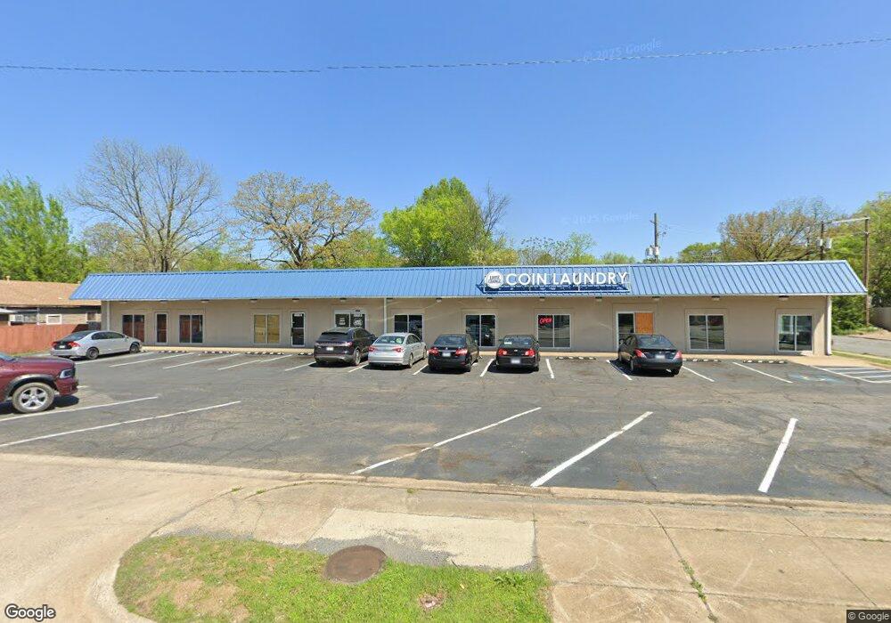
4600 W 12th St Little Rock, AR 72204
Capitol View NeighborhoodEstimated Value: $370,345
--
Bed
--
Bath
7,000
Sq Ft
$53/Sq Ft
Est. Value
About This Home
This home is located at 4600 W 12th St, Little Rock, AR 72204 and is currently estimated at $370,345, approximately $52 per square foot. 4600 W 12th St is a home located in Pulaski County with nearby schools including Stephens Elementary School, Pulaski Heights Middle School, and Central High School.
Ownership History
Date
Name
Owned For
Owner Type
Purchase Details
Closed on
Jun 26, 2017
Sold by
Heyaime Sok C
Bought by
Kkmd Llc
Current Estimated Value
Purchase Details
Closed on
Oct 28, 1999
Sold by
Treadway Billy A and Treadway Margie
Bought by
Heyaime Sok C
Home Financials for this Owner
Home Financials are based on the most recent Mortgage that was taken out on this home.
Original Mortgage
$145,000
Interest Rate
7.77%
Mortgage Type
Commercial
Create a Home Valuation Report for This Property
The Home Valuation Report is an in-depth analysis detailing your home's value as well as a comparison with similar homes in the area
Home Values in the Area
Average Home Value in this Area
Purchase History
| Date | Buyer | Sale Price | Title Company |
|---|---|---|---|
| Kkmd Llc | $220,000 | None Available | |
| Heyaime Sok C | $185,000 | -- |
Source: Public Records
Mortgage History
| Date | Status | Borrower | Loan Amount |
|---|---|---|---|
| Previous Owner | Heyaime Sok C | $145,000 |
Source: Public Records
Tax History Compared to Growth
Tax History
| Year | Tax Paid | Tax Assessment Tax Assessment Total Assessment is a certain percentage of the fair market value that is determined by local assessors to be the total taxable value of land and additions on the property. | Land | Improvement |
|---|---|---|---|---|
| 2025 | $6,927 | $98,950 | $3,136 | $95,814 |
| 2024 | $6,578 | $98,950 | $3,136 | $95,814 |
| 2023 | $6,578 | $98,950 | $3,136 | $95,814 |
| 2022 | $6,030 | $98,950 | $3,136 | $95,814 |
| 2021 | $5,521 | $78,310 | $2,090 | $76,220 |
| 2020 | $5,482 | $78,310 | $2,090 | $76,220 |
| 2019 | $5,482 | $78,310 | $2,090 | $76,220 |
| 2018 | $5,482 | $78,310 | $2,090 | $76,220 |
| 2017 | $3,969 | $56,700 | $2,090 | $54,610 |
| 2016 | $4,145 | $59,210 | $2,090 | $57,120 |
| 2015 | $4,149 | $59,210 | $2,090 | $57,120 |
| 2014 | $4,149 | $59,187 | $2,090 | $57,097 |
Source: Public Records
Map
Nearby Homes
- 1019 Adams St
- 1320 Adams St
- 1420 Washington St
- 1320 Abigail St
- 4512 W 16th St
- 4613 W 16th St
- 4101 W 13th St
- 4207 W 15th St
- 822 S Elm St
- 1712 Pinewood Dr
- 4216 W 17th St
- 1809 Princeton Dr
- 1800 S Monroe St
- 1418 S Harrison St
- 1510 S Cedar St
- 1610 S Cedar St
- 904 S Oak St
- 4200 W 19th St
- 3724 W 10th St
- 3715 W 12th St