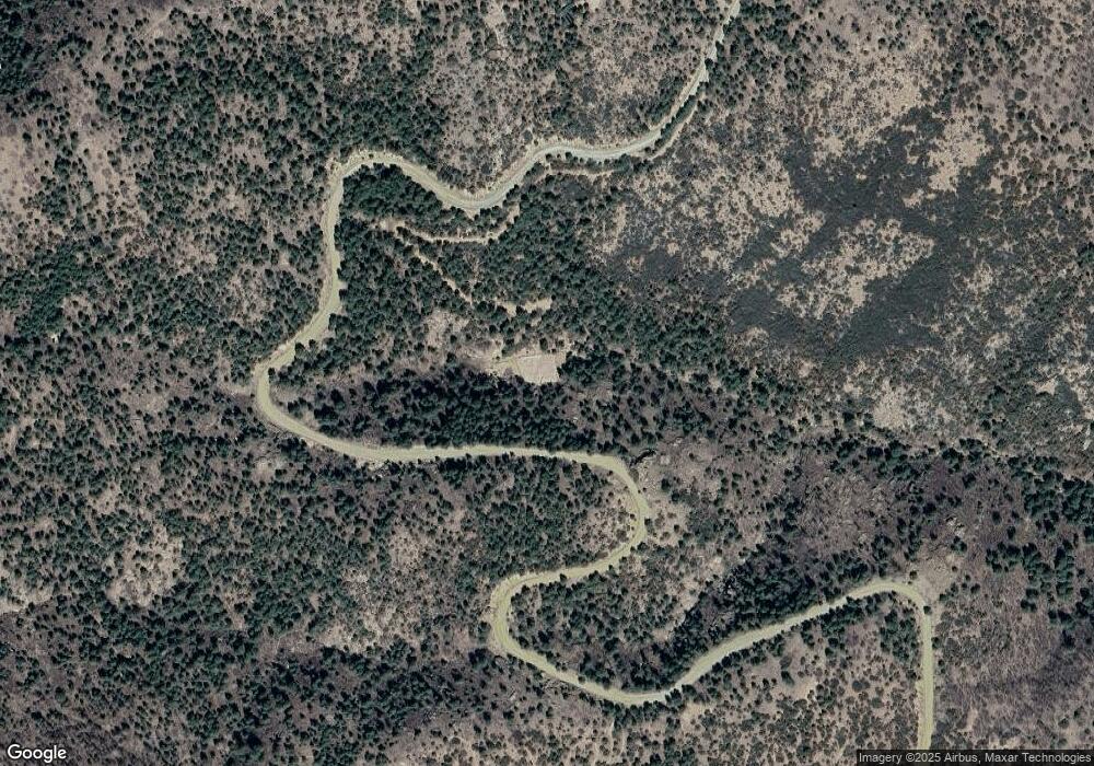
4601 E Snowdrift Mine Rd Prescott, AZ 86303
Estimated Value: $405,000 - $493,725
--
Bed
--
Bath
640
Sq Ft
$716/Sq Ft
Est. Value
About This Home
This home is located at 4601 E Snowdrift Mine Rd, Prescott, AZ 86303 and is currently estimated at $457,931, approximately $715 per square foot. 4601 E Snowdrift Mine Rd is a home located in Yavapai County with nearby schools including Taylor Hicks School, Granite Mountain Middle School, and Prescott Mile High Middle School.
Ownership History
Date
Name
Owned For
Owner Type
Purchase Details
Closed on
May 24, 2023
Sold by
Loven Adriana P and Loven Paul
Bought by
Hudnall Angela Deann and Hudnall Rodger Dale
Current Estimated Value
Home Financials for this Owner
Home Financials are based on the most recent Mortgage that was taken out on this home.
Original Mortgage
$403,750
Outstanding Balance
$392,523
Interest Rate
6.39%
Mortgage Type
New Conventional
Estimated Equity
$65,408
Purchase Details
Closed on
Jul 30, 2019
Sold by
Bencze Joseph P and Bencze Sharon T
Bought by
Loven Adriana P and Loven Paul
Home Financials for this Owner
Home Financials are based on the most recent Mortgage that was taken out on this home.
Original Mortgage
$240,000
Interest Rate
3.7%
Mortgage Type
New Conventional
Create a Home Valuation Report for This Property
The Home Valuation Report is an in-depth analysis detailing your home's value as well as a comparison with similar homes in the area
Home Values in the Area
Average Home Value in this Area
Purchase History
| Date | Buyer | Sale Price | Title Company |
|---|---|---|---|
| Hudnall Angela Deann | $485,000 | Land Title | |
| Loven Adriana P | $300,000 | Pioneer Title Agency |
Source: Public Records
Mortgage History
| Date | Status | Borrower | Loan Amount |
|---|---|---|---|
| Open | Hudnall Angela Deann | $403,750 | |
| Previous Owner | Loven Adriana P | $240,000 |
Source: Public Records
Tax History Compared to Growth
Tax History
| Year | Tax Paid | Tax Assessment Tax Assessment Total Assessment is a certain percentage of the fair market value that is determined by local assessors to be the total taxable value of land and additions on the property. | Land | Improvement |
|---|---|---|---|---|
| 2026 | $1,058 | $32,641 | -- | -- |
| 2024 | $835 | $29,597 | -- | -- |
| 2023 | $835 | $25,290 | $0 | $0 |
| 2022 | $829 | $20,040 | $6,228 | $13,812 |
| 2021 | $893 | $19,346 | $6,254 | $13,092 |
| 2020 | $897 | $0 | $0 | $0 |
| 2019 | $1,054 | $0 | $0 | $0 |
| 2018 | $1,016 | $0 | $0 | $0 |
| 2017 | $967 | $0 | $0 | $0 |
| 2016 | $973 | $0 | $0 | $0 |
| 2015 | -- | $0 | $0 | $0 |
| 2014 | -- | $0 | $0 | $0 |
Source: Public Records
Map
Nearby Homes
- 78xx S Big Bug Mesa Rd
- 807x Snowdrift Mine Rd
- 7740 S Snowdrift Mine Rd
- 8280 S Breezy Pine Rd
- 5150 E Alpine Dr
- 8475 S Breezy Pine Rd
- 4955 E Herrin Hollow Ln
- 860x S Copper Sunset Trail
- 8000 S Breezy Pine Rd
- 861x S Copper Sunset Trail
- 3725 E Walker Rd
- 720x Cayuga Dr
- 7207 S Crown Ln
- 455x E Combination Ln
- 00 S Comstock Mine Rd
- 3929 E Sheldon Rd
- 334x E Sheldon Rd
- 6641 S Midnight Snap Ln
- 3515 E Sheldon Rd
- 7359 S Preserve Way
- 8200 S Snowdrift Mine Rd
- 4300 E Yankee Doodle Dr
- 4901 E Snowdrift Mine Rd
- 4330 E Yankee Doodle Dr
- 0 S Snowdrift Mine Rd Unit PAR417585
- 0 S Snowdrift Mine Rd Unit 939779
- 0 S Snowdrift Mine Rd Unit 980487
- 8133 S Snowdrift Mine Rd
- 0 S Off Snowdrift Mine Lot B Rd Unit 1030883
- 7925 S Big Bug Mesa Rd
- 8075 S Snowdrift Mine Rd
- 4255 E Snowdrift Mine Rd
- 7301 S Snowdrift Mine Rd
- 8009 S Snowdrift Mine Rd
- 7933 S Snowdrift Mine Rd
- 7920 S Big Bug Mesa Rd
- 4270 E Yankee Doodle Dr
- 0 Off S Snowdrift Mine Rd
- 7777 S Snowdrift Mine Rd
- 7900 S Snowdrift Rd
