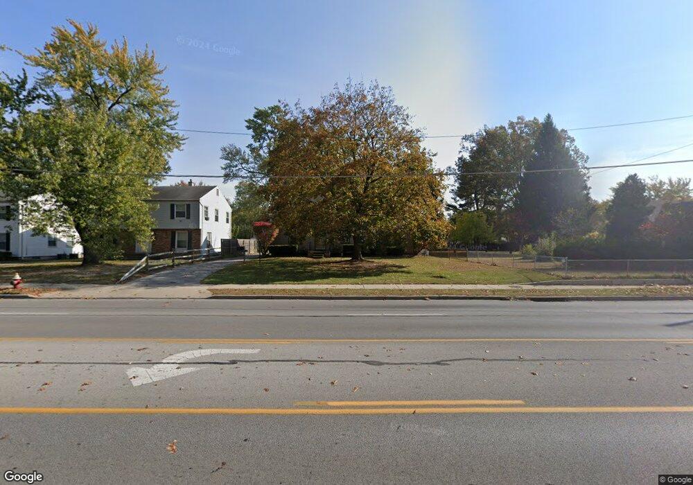
4604 Secor Rd Toledo, OH 43623
DeVeaux NeighborhoodEstimated Value: $185,000 - $226,000
3
Beds
2
Baths
1,490
Sq Ft
$139/Sq Ft
Est. Value
About This Home
This home is located at 4604 Secor Rd, Toledo, OH 43623 and is currently estimated at $206,740, approximately $138 per square foot. 4604 Secor Rd is a home located in Lucas County with nearby schools including Elmhurst Elementary School, Start High School, and Christ The King School.
Ownership History
Date
Name
Owned For
Owner Type
Purchase Details
Closed on
Mar 18, 2000
Sold by
Shousher Mohamed V and Sullivan Eile En
Bought by
Kwapich Mark J
Current Estimated Value
Home Financials for this Owner
Home Financials are based on the most recent Mortgage that was taken out on this home.
Original Mortgage
$84,150
Outstanding Balance
$28,807
Interest Rate
8.43%
Mortgage Type
VA
Estimated Equity
$177,933
Purchase Details
Closed on
Dec 31, 1997
Sold by
Shousher Mohamed V
Bought by
Shousher Mohamed Y and Shousher Eileen Sullivan
Purchase Details
Closed on
Dec 28, 1987
Sold by
Rompf Rolf G
Create a Home Valuation Report for This Property
The Home Valuation Report is an in-depth analysis detailing your home's value as well as a comparison with similar homes in the area
Home Values in the Area
Average Home Value in this Area
Purchase History
| Date | Buyer | Sale Price | Title Company |
|---|---|---|---|
| Kwapich Mark J | $82,500 | -- | |
| Shousher Mohamed Y | -- | -- | |
| -- | $40,000 | -- |
Source: Public Records
Mortgage History
| Date | Status | Borrower | Loan Amount |
|---|---|---|---|
| Open | Kwapich Mark J | $84,150 |
Source: Public Records
Tax History Compared to Growth
Tax History
| Year | Tax Paid | Tax Assessment Tax Assessment Total Assessment is a certain percentage of the fair market value that is determined by local assessors to be the total taxable value of land and additions on the property. | Land | Improvement |
|---|---|---|---|---|
| 2024 | $1,623 | $51,765 | $13,895 | $37,870 |
| 2023 | $2,696 | $40,635 | $12,985 | $27,650 |
| 2022 | $2,695 | $40,635 | $12,985 | $27,650 |
| 2021 | $2,749 | $40,635 | $12,985 | $27,650 |
| 2020 | $2,625 | $33,810 | $10,815 | $22,995 |
| 2019 | $2,542 | $33,810 | $10,815 | $22,995 |
| 2018 | $2,600 | $33,810 | $10,815 | $22,995 |
| 2017 | $2,686 | $34,020 | $14,140 | $19,880 |
| 2016 | $2,684 | $97,200 | $40,400 | $56,800 |
| 2015 | $2,656 | $97,200 | $40,400 | $56,800 |
| 2014 | $2,140 | $34,020 | $14,140 | $19,880 |
| 2013 | $2,140 | $34,020 | $14,140 | $19,880 |
Source: Public Records
Map
Nearby Homes
- 4812 Secor Rd
- 3407 Forest Grove Dr
- 4823 Cedarhurst Rd
- 4647 Hannaford Dr
- 5044 Secor Rd
- 4436 Foxglove Rd
- 3065 Reen Dr
- 4807 Brott Rd
- 4608 Harvest Ln
- 2855 Castleton Ave
- 2842 Oak Grove Place
- 3513 Cedardale Ct
- 5111 Elaine Dr
- 3527 Cedardale Ct
- 2849 W Laskey Rd
- 3553 Cedardale Ct
- 5117 Fern Dr
- 5215 Secor Rd
- 5213 Fairgreen Dr
- 4250 Garrison Rd