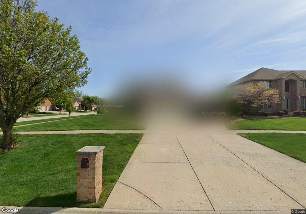
4605 203rd St Matteson, IL 60443
Old Matteson NeighborhoodEstimated Value: $410,499 - $467,000
4
Beds
3
Baths
2,916
Sq Ft
$152/Sq Ft
Est. Value
About This Home
This home is located at 4605 203rd St, Matteson, IL 60443 and is currently estimated at $442,125, approximately $151 per square foot. 4605 203rd St is a home located in Cook County with nearby schools including Illinois School, Arcadia Elementary School, and Indiana Elementary School.
Ownership History
Date
Name
Owned For
Owner Type
Purchase Details
Closed on
Apr 20, 2004
Sold by
State Bank Of Countryside
Bought by
Barksdale Neil and Barksdale Andrea
Current Estimated Value
Home Financials for this Owner
Home Financials are based on the most recent Mortgage that was taken out on this home.
Original Mortgage
$267,358
Outstanding Balance
$123,295
Interest Rate
5.7%
Mortgage Type
Unknown
Estimated Equity
$318,830
Create a Home Valuation Report for This Property
The Home Valuation Report is an in-depth analysis detailing your home's value as well as a comparison with similar homes in the area
Home Values in the Area
Average Home Value in this Area
Purchase History
| Date | Buyer | Sale Price | Title Company |
|---|---|---|---|
| Barksdale Neil | $267,500 | Enterprise Land Title Ltd |
Source: Public Records
Mortgage History
| Date | Status | Borrower | Loan Amount |
|---|---|---|---|
| Open | Barksdale Neil | $267,358 |
Source: Public Records
Tax History
| Year | Tax Paid | Tax Assessment Tax Assessment Total Assessment is a certain percentage of the fair market value that is determined by local assessors to be the total taxable value of land and additions on the property. | Land | Improvement |
|---|---|---|---|---|
| 2025 | $13,922 | $37,001 | $6,490 | $30,511 |
| 2024 | $13,922 | $37,001 | $6,490 | $30,511 |
| 2023 | $12,741 | $37,001 | $6,490 | $30,511 |
| 2022 | $12,741 | $26,907 | $5,605 | $21,302 |
| 2021 | $12,965 | $26,905 | $5,604 | $21,301 |
| 2020 | $12,123 | $26,905 | $5,604 | $21,301 |
| 2019 | $11,840 | $26,306 | $5,014 | $21,292 |
| 2018 | $11,835 | $26,306 | $5,014 | $21,292 |
| 2017 | $11,392 | $26,306 | $5,014 | $21,292 |
| 2016 | $9,549 | $21,917 | $4,424 | $17,493 |
| 2015 | $9,405 | $21,917 | $4,424 | $17,493 |
| 2014 | $9,136 | $21,917 | $4,424 | $17,493 |
| 2013 | $12,125 | $30,721 | $4,424 | $26,297 |
Source: Public Records
Map
Nearby Homes
- 4500 203rd St
- 620 Larkspur Ln
- 153 Treehouse Rd
- 135 Treehouse Rd
- 98 Lawrence Ln
- 154 Sundance Rd
- 744 Academy Ave
- 4141 204th St
- 722 Kostner Ave
- 20813 Homeland Rd
- 175 Owen St
- 820 School Ave
- 858 Academy Ave
- 78 Kenneth St
- 4325 Oakwood Ln
- 4613 Lindenwood Ct
- 51 Manor Dr
- 5327 Northwestern Dr
- 4110 Applewood Ln
- 763 Cambridge Ave
- 4609 203rd St
- 4600 Abbey Ln
- 4604 Abbey Ln
- 4613 203rd St
- 301 Homeland Rd
- 305 Homeland Rd
- 4608 Abbey Ln
- 4604 203rd St
- 309 Homeland Rd
- 4608 203rd St
- 4617 203rd St
- 239 Homeland Rd
- 4612 203rd St
- 313 Homeland Rd
- 4612 Abbey Ln
- 302 Academy Ave
- 306 Academy Ave Unit 4
- 4601 Abbey Ln Unit 3
- 4616 203rd St
- 235 Homeland Rd
Your Personal Tour Guide
Ask me questions while you tour the home.