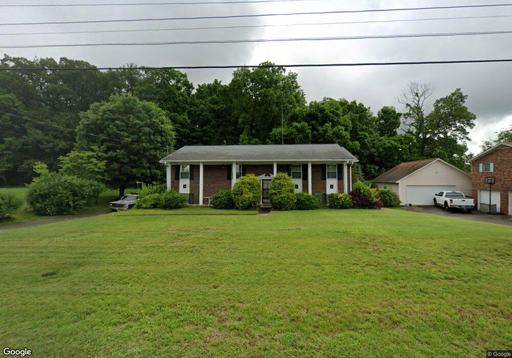
4605 Brockland Dr Morristown, TN 37813
Estimated Value: $294,000 - $394,000
--
Bed
3
Baths
1,350
Sq Ft
$258/Sq Ft
Est. Value
About This Home
This home is located at 4605 Brockland Dr, Morristown, TN 37813 and is currently estimated at $348,817, approximately $258 per square foot. 4605 Brockland Dr is a home located in Hamblen County with nearby schools including John Hay Elementary School, Meadowview Middle School, and Morristown East High School.
Ownership History
Date
Name
Owned For
Owner Type
Purchase Details
Closed on
Nov 3, 2015
Sold by
Griscom Richard
Bought by
Griscom Long Grace
Current Estimated Value
Purchase Details
Closed on
Apr 5, 2012
Sold by
Clemmons Harold H
Bought by
Griscom Richard
Purchase Details
Closed on
Oct 2, 1978
Bought by
Clemmons Lucille K and Clemmons Harol
Create a Home Valuation Report for This Property
The Home Valuation Report is an in-depth analysis detailing your home's value as well as a comparison with similar homes in the area
Home Values in the Area
Average Home Value in this Area
Purchase History
| Date | Buyer | Sale Price | Title Company |
|---|---|---|---|
| Griscom Long Grace | -- | -- | |
| Long Grace Griscom | -- | -- | |
| Griscom Richard | $115,450 | -- | |
| Clemmons Lucille K | $46,500 | -- |
Source: Public Records
Tax History Compared to Growth
Tax History
| Year | Tax Paid | Tax Assessment Tax Assessment Total Assessment is a certain percentage of the fair market value that is determined by local assessors to be the total taxable value of land and additions on the property. | Land | Improvement |
|---|---|---|---|---|
| 2024 | $659 | $33,475 | $4,675 | $28,800 |
| 2023 | $659 | $33,475 | $0 | $0 |
| 2022 | $659 | $33,475 | $4,675 | $28,800 |
| 2021 | $659 | $33,475 | $4,675 | $28,800 |
| 2020 | $643 | $33,475 | $4,675 | $28,800 |
| 2019 | $643 | $30,200 | $4,700 | $25,500 |
| 2018 | $643 | $30,200 | $4,700 | $25,500 |
| 2017 | $643 | $30,200 | $4,700 | $25,500 |
| 2016 | $601 | $30,200 | $4,700 | $25,500 |
| 2015 | $559 | $30,200 | $4,700 | $25,500 |
| 2014 | -- | $30,200 | $4,700 | $25,500 |
| 2013 | -- | $34,475 | $0 | $0 |
Source: Public Records
Map
Nearby Homes
- 4705 E Hampton Blvd
- 4581 Lockley Ct
- 4458 Brockland Dr
- 670 Jones Franklin Rd
- 4510 Westover Place
- 1148 George Byrd Rd
- 4270 Brockland Dr
- 358 Dover Rd
- 1342 Slop Creek Rd
- 288 Fuller Estate Cir
- 4907 Barton Springs Dr
- 00 Shinbone E Sugar Hollow Rd
- 4271 Stansberry Rd
- 1496 Dover Rd
- 1689 Carroll Rd
- 3661 Halifax Cir
- 1744 Carroll Rd
- Tract 3 Shinbone Rd
- Tract 4 Shinbone Rd
- 1976/1986 Shinbone Rd
- 4615 Brockland Dr
- 4625 Brockland Dr
- 4620 Brockland Dr
- 4600 Brockland Dr
- 4630 Brockland Dr
- 4585 Brockland Dr
- 4635 Brockland Dr
- 4490 Ashford Dr
- 4639 E Hampton Blvd
- 4590 Brockland Dr
- 4494 Woodhaven Dr
- 4487 Ashford Dr
- 0000 Woodhaven Dr
- 4580 Brockland Dr
- 4639 Brockland Dr
- 4687 E Hampton Blvd
- 4687 E Hampton Blvd
- 4640 Brockland Dr
- 4693 E Hampton Blvd
- 4471 Ashford Dr