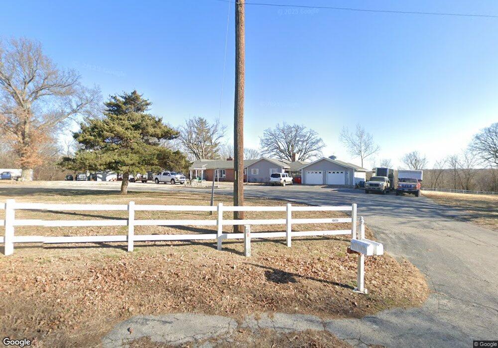
4606 County Road 110 Carthage, MO 64836
Estimated Value: $1,006,891
8
Beds
8
Baths
8,641
Sq Ft
$117/Sq Ft
Est. Value
About This Home
This home is located at 4606 County Road 110, Carthage, MO 64836 and is currently estimated at $1,006,891, approximately $116 per square foot. 4606 County Road 110 is a home located in Jasper County with nearby schools including Carthage High School.
Ownership History
Date
Name
Owned For
Owner Type
Purchase Details
Closed on
Sep 5, 2014
Sold by
Arvest Bank
Bought by
Anderson James Lee
Current Estimated Value
Home Financials for this Owner
Home Financials are based on the most recent Mortgage that was taken out on this home.
Original Mortgage
$592,709
Outstanding Balance
$453,119
Interest Rate
4.18%
Mortgage Type
New Conventional
Estimated Equity
$553,772
Purchase Details
Closed on
May 2, 2005
Sold by
Shepherd G Robert
Bought by
Shepherd G Robert
Home Financials for this Owner
Home Financials are based on the most recent Mortgage that was taken out on this home.
Original Mortgage
$359,650
Interest Rate
6.06%
Mortgage Type
Stand Alone Refi Refinance Of Original Loan
Create a Home Valuation Report for This Property
The Home Valuation Report is an in-depth analysis detailing your home's value as well as a comparison with similar homes in the area
Purchase History
| Date | Buyer | Sale Price | Title Company |
|---|---|---|---|
| Anderson James Lee | -- | None Available | |
| Shepherd G Robert | -- | Fatco |
Source: Public Records
Mortgage History
| Date | Status | Borrower | Loan Amount |
|---|---|---|---|
| Open | Anderson James Lee | $592,709 | |
| Previous Owner | Shepherd G Robert | $359,650 |
Source: Public Records
Tax History
| Year | Tax Paid | Tax Assessment Tax Assessment Total Assessment is a certain percentage of the fair market value that is determined by local assessors to be the total taxable value of land and additions on the property. | Land | Improvement |
|---|---|---|---|---|
| 2025 | $3,113 | $75,230 | $3,650 | $71,580 |
| 2024 | $3,113 | $66,550 | $3,650 | $62,900 |
| 2023 | $3,113 | $66,550 | $3,650 | $62,900 |
| 2022 | $3,112 | $66,770 | $3,650 | $63,120 |
| 2021 | $3,075 | $66,770 | $3,650 | $63,120 |
| 2020 | $2,950 | $61,550 | $3,650 | $57,900 |
| 2019 | $2,956 | $61,550 | $3,650 | $57,900 |
| 2018 | $2,774 | $57,820 | $0 | $0 |
| 2017 | $2,781 | $57,820 | $0 | $0 |
| 2016 | $2,798 | $58,370 | $0 | $0 |
Source: Public Records
Map
Nearby Homes
- Tract 1 Daisy Rd & Cty Rd 110
- 11765 Elm Rd
- 3625 County Road 110
- 11884 Destination Ln
- 2119 E Fir Rd
- 6226 County Road 120 N A
- 11411 Goldenrod Rd
- 1720 E Fir Rd
- 2322 S County Lane 124
- 2166 Noah's Ark Ln
- 1328 Hafner Ct
- 7777 Cr 110
- 2515 S River St
- 7777 Cr-110
- 2032 Alison St
- 1929 Bluebird Way
- 2110 Pearl St
- 1448 Quail Place
- 905 Durward Hall Dr
- 1910 Buena Vista Ave
- 4476 County Road 110
- 4655 County Road 110
- 4564 Esquire Ln
- 4565 Esquire Ln
- 4416 County Road 110
- 4778 County Road 110
- 4585 Esquire Ln
- 11217 Eider Ln
- 5076 County Road 110
- 4703 County Road 110
- 0 4782 County Lane 113
- 4784 County Lane 113
- 4782 County Lane 113
- 10868 Elm Rd
- 11120 Elm Rd
- 10990 Elm Rd
- 10939 Elm Rd
- 10995 Elm Rd
- 11091 Elm Rd
- 10748 Elm Rd
Your Personal Tour Guide
Ask me questions while you tour the home.