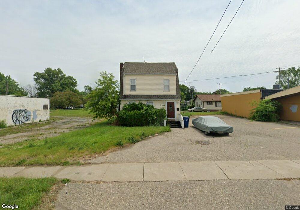
4609 Fenton Rd Flint, MI 48507
South Side NeighborhoodEstimated Value: $80,036
--
Bed
--
Bath
1,260
Sq Ft
$64/Sq Ft
Est. Value
About This Home
This home is located at 4609 Fenton Rd, Flint, MI 48507 and is currently estimated at $80,036, approximately $63 per square foot. 4609 Fenton Rd is a home located in Genesee County with nearby schools including Neithercut Elementary School, Flint Southwestern Classical Academy, and Flint Cultural Center Academy.
Ownership History
Date
Name
Owned For
Owner Type
Purchase Details
Closed on
Feb 27, 2001
Sold by
Howe Wallace E and Howe Beverly M
Bought by
Wolverine Productions Ltd
Current Estimated Value
Home Financials for this Owner
Home Financials are based on the most recent Mortgage that was taken out on this home.
Original Mortgage
$53,000
Outstanding Balance
$18,973
Interest Rate
7.13%
Mortgage Type
Commercial
Estimated Equity
$61,063
Create a Home Valuation Report for This Property
The Home Valuation Report is an in-depth analysis detailing your home's value as well as a comparison with similar homes in the area
Home Values in the Area
Average Home Value in this Area
Purchase History
| Date | Buyer | Sale Price | Title Company |
|---|---|---|---|
| Wolverine Productions Ltd | $57,900 | Centennial Title & Abstract |
Source: Public Records
Mortgage History
| Date | Status | Borrower | Loan Amount |
|---|---|---|---|
| Open | Wolverine Productions Ltd | $53,000 |
Source: Public Records
Tax History Compared to Growth
Tax History
| Year | Tax Paid | Tax Assessment Tax Assessment Total Assessment is a certain percentage of the fair market value that is determined by local assessors to be the total taxable value of land and additions on the property. | Land | Improvement |
|---|---|---|---|---|
| 2025 | $4,395 | $60,200 | $0 | $0 |
| 2024 | $3,979 | $60,600 | $0 | $0 |
| 2023 | $2,115 | $52,100 | $0 | $0 |
| 2022 | $0 | $44,600 | $0 | $0 |
| 2021 | $2,199 | $40,100 | $0 | $0 |
| 2020 | $1,974 | $40,100 | $0 | $0 |
| 2019 | $1,900 | $41,100 | $0 | $0 |
| 2018 | $1,984 | $43,300 | $0 | $0 |
| 2017 | $1,920 | $0 | $0 | $0 |
| 2016 | $1,903 | $0 | $0 | $0 |
| 2015 | -- | $0 | $0 | $0 |
| 2014 | -- | $0 | $0 | $0 |
| 2012 | -- | $28,900 | $0 | $0 |
Source: Public Records
Map
Nearby Homes
- 1039 Markham St
- 3322 Fenton Rd
- 1122 Markham St
- 1031 Ingleside Ave
- 4418 Brunswick Ave
- 1015 Alvord Ave
- 829 Clinton St
- 845 Alvord Ave
- 1234 Huron St
- 1318 Ingleside Ave
- 3415 Hull Ave
- 1310 Huron St
- 805 Alvord Ave
- 1151 Wells St
- 818 Alvord Ave
- 1329 Huron St
- 1183 Norton St
- 1212 Crawford St
- 1416 Blackberry Ln
- 652 Huron St