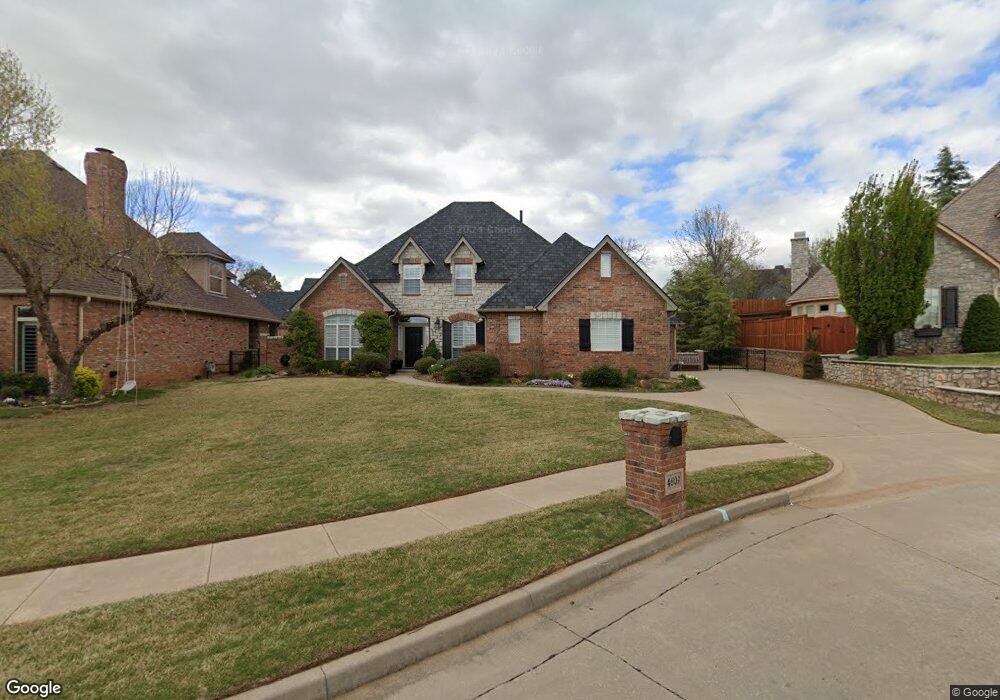
4609 Foxborough Ct Norman, OK 73072
West Norman NeighborhoodEstimated Value: $592,227 - $697,000
4
Beds
4
Baths
3,245
Sq Ft
$195/Sq Ft
Est. Value
About This Home
This home is located at 4609 Foxborough Ct, Norman, OK 73072 and is currently estimated at $634,307, approximately $195 per square foot. 4609 Foxborough Ct is a home located in Cleveland County with nearby schools including Truman Primary School, Truman Elementary School, and Whittier Middle School.
Ownership History
Date
Name
Owned For
Owner Type
Purchase Details
Closed on
May 1, 2006
Sold by
Sondergeld Carl H and Sondergeld Rose Marie
Bought by
Sondergeld Carl H and Sondergeld Rose Marie
Current Estimated Value
Purchase Details
Closed on
Jul 21, 2004
Sold by
Muirfield Homes, Llc
Bought by
Sondegeld Carl and Rose Marie
Purchase Details
Closed on
Aug 22, 2003
Sold by
Cies Properties, Inc
Bought by
Sondergeld Carl H and Rose Marie
Create a Home Valuation Report for This Property
The Home Valuation Report is an in-depth analysis detailing your home's value as well as a comparison with similar homes in the area
Home Values in the Area
Average Home Value in this Area
Purchase History
| Date | Buyer | Sale Price | Title Company |
|---|---|---|---|
| Sondergeld Carl H | -- | None Available | |
| Sondegeld Carl | $411,500 | -- | |
| Sondergeld Carl H | $80,000 | -- |
Source: Public Records
Tax History Compared to Growth
Tax History
| Year | Tax Paid | Tax Assessment Tax Assessment Total Assessment is a certain percentage of the fair market value that is determined by local assessors to be the total taxable value of land and additions on the property. | Land | Improvement |
|---|---|---|---|---|
| 2024 | $6,307 | $53,656 | $8,616 | $45,040 |
| 2023 | $6,135 | $52,093 | $8,655 | $43,438 |
| 2022 | $5,710 | $50,576 | $10,800 | $39,776 |
| 2021 | $6,019 | $50,576 | $10,800 | $39,776 |
| 2020 | $5,890 | $50,576 | $10,800 | $39,776 |
| 2019 | $5,990 | $50,576 | $10,800 | $39,776 |
| 2018 | $5,810 | $50,576 | $10,800 | $39,776 |
| 2017 | $5,736 | $50,576 | $0 | $0 |
| 2016 | $5,658 | $47,976 | $10,245 | $37,731 |
| 2015 | $5,324 | $46,579 | $5,722 | $40,857 |
| 2014 | $5,376 | $46,579 | $5,722 | $40,857 |
Source: Public Records
Map
Nearby Homes
- 405 Flint Ridge Ct
- 4701 Flint Ridge Cir
- 4609 Flint Ridge Dr
- 516 Winston Dr
- 4705 Cloudcroft
- 418 Edwards Dr
- 4713 Windrush Cir
- 625 Greystone Ln
- 4605 Greystone Ct
- 4108 Northwich Dr
- 18450 Chuckwagon Trail
- 5212 Deerhurst Dr
- 4320 Hunters Hill Rd
- 4609 Summerfield Ct
- 220 Olde Brook Ct
- 1008 Trisha Ln
- 911 Thistlewood Dr
- 1012 Trisha Ln
- 517 Kensington Rd
- 1005 Bentbrook Place
- 4613 Foxborough Ct
- 4605 Foxborough Ct
- 409 Litchfield Ln
- 4601 Foxborough Ct
- 4608 Sherburne Rd
- 4604 Foxborough Ct
- 4612 Foxborough Ct
- 4608 Foxborough Ct
- 408 Flint Ridge Ct
- 402 Litchfield Ln
- 406 Litchfield Ln
- 4612 Sherburne Rd
- 4616 Manor Hill Dr
- 4700 Foxborough Ct
- 410 Litchfield Ln
- 404 Flint Ridge Ct
- 4704 Foxborough Ct
- 414 Litchfield Ln
- 416 Flint Ridge Ct
- 4708 Foxborough Ct