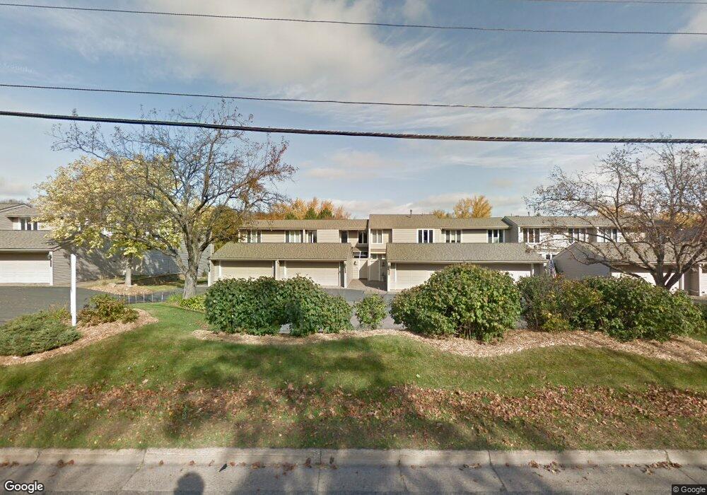
461 County Road C W Saint Paul, MN 55113
South Owasso NeighborhoodEstimated Value: $286,000 - $340,000
2
Beds
2
Baths
1,336
Sq Ft
$233/Sq Ft
Est. Value
About This Home
This home is located at 461 County Road C W, Saint Paul, MN 55113 and is currently estimated at $311,588, approximately $233 per square foot. 461 County Road C W is a home located in Ramsey County with nearby schools including Central Park Elementary School, Roseville Area Middle School, and Roseville Area High School.
Ownership History
Date
Name
Owned For
Owner Type
Purchase Details
Closed on
May 31, 2024
Sold by
Estate Of Edward G Maranda
Bought by
Lemaniak Andrew
Current Estimated Value
Home Financials for this Owner
Home Financials are based on the most recent Mortgage that was taken out on this home.
Original Mortgage
$110,000
Outstanding Balance
$108,618
Interest Rate
7.1%
Mortgage Type
New Conventional
Estimated Equity
$202,970
Purchase Details
Closed on
May 20, 2024
Sold by
Wakefield Edward G
Bought by
Lemaniak Andrew
Home Financials for this Owner
Home Financials are based on the most recent Mortgage that was taken out on this home.
Original Mortgage
$110,000
Outstanding Balance
$108,618
Interest Rate
7.1%
Mortgage Type
New Conventional
Estimated Equity
$202,970
Create a Home Valuation Report for This Property
The Home Valuation Report is an in-depth analysis detailing your home's value as well as a comparison with similar homes in the area
Home Values in the Area
Average Home Value in this Area
Purchase History
| Date | Buyer | Sale Price | Title Company |
|---|---|---|---|
| Lemaniak Andrew | $200,000 | -- | |
| Lemaniak Andrew | $200,000 | Ancona Title |
Source: Public Records
Mortgage History
| Date | Status | Borrower | Loan Amount |
|---|---|---|---|
| Open | Lemaniak Andrew | $110,000 | |
| Closed | Lemaniak Andrew | $110,000 |
Source: Public Records
Tax History
| Year | Tax Paid | Tax Assessment Tax Assessment Total Assessment is a certain percentage of the fair market value that is determined by local assessors to be the total taxable value of land and additions on the property. | Land | Improvement |
|---|---|---|---|---|
| 2025 | $4,110 | $331,000 | $50,000 | $281,000 |
| 2023 | $4,110 | $299,100 | $50,000 | $249,100 |
| 2022 | $3,268 | $291,800 | $50,000 | $241,800 |
| 2021 | $3,138 | $229,400 | $50,000 | $179,400 |
| 2020 | $3,022 | $235,400 | $50,000 | $185,400 |
| 2019 | $2,922 | $215,000 | $22,900 | $192,100 |
| 2018 | $2,904 | $203,400 | $22,900 | $180,500 |
| 2017 | $2,618 | $197,700 | $22,900 | $174,800 |
| 2016 | $2,164 | $0 | $0 | $0 |
| 2015 | $2,204 | $160,600 | $22,900 | $137,700 |
| 2014 | $2,204 | $0 | $0 | $0 |
Source: Public Records
Map
Nearby Homes
- 419 County Road C W
- 556 County Road C W
- 2710 Dale St N Unit B-116
- 2710 Dale St N Unit B307
- 2730 Dale St N Unit D214
- 2730 Dale St N Unit D309
- 2720 Dale St N Unit C114
- 2700 Dale St N Unit A214
- 405 Judith Ave
- 479 Centennial Dr
- 2575 Aladdin St
- 613 S Owasso Blvd W
- 2555 Aladdin St
- 807 Rose Place
- 255 County Road C2 W
- 2970 Western Ave N
- 340 S Owasso Blvd W
- 405 Minnesota Ave
- 204 Manitoba Ln
- 345 Capitol View Ave
- 459 County Road C W
- 457 County Road C W
- 467 County Road C W
- 455 County Road C W
- 469 County Road C W
- 453 County Road C W
- 471 County Road C W
- 449 County Road C W
- 473 County Road C W
- 447 County Road C W
- 475 County Road C W
- 445 County Road C W
- 477 County Road C W
- 0 Nature View Ct N
- 443 County Road C W
- 2630 Nature View Ct N
- 441 County Road C W
- 2629 Nature View Ct
- 439 County Road C W
- 2631 Cohansey St
Your Personal Tour Guide
Ask me questions while you tour the home.