Estimated Value: $378,309
Studio
1
Bath
1,440
Sq Ft
$263/Sq Ft
Est. Value
About This Home
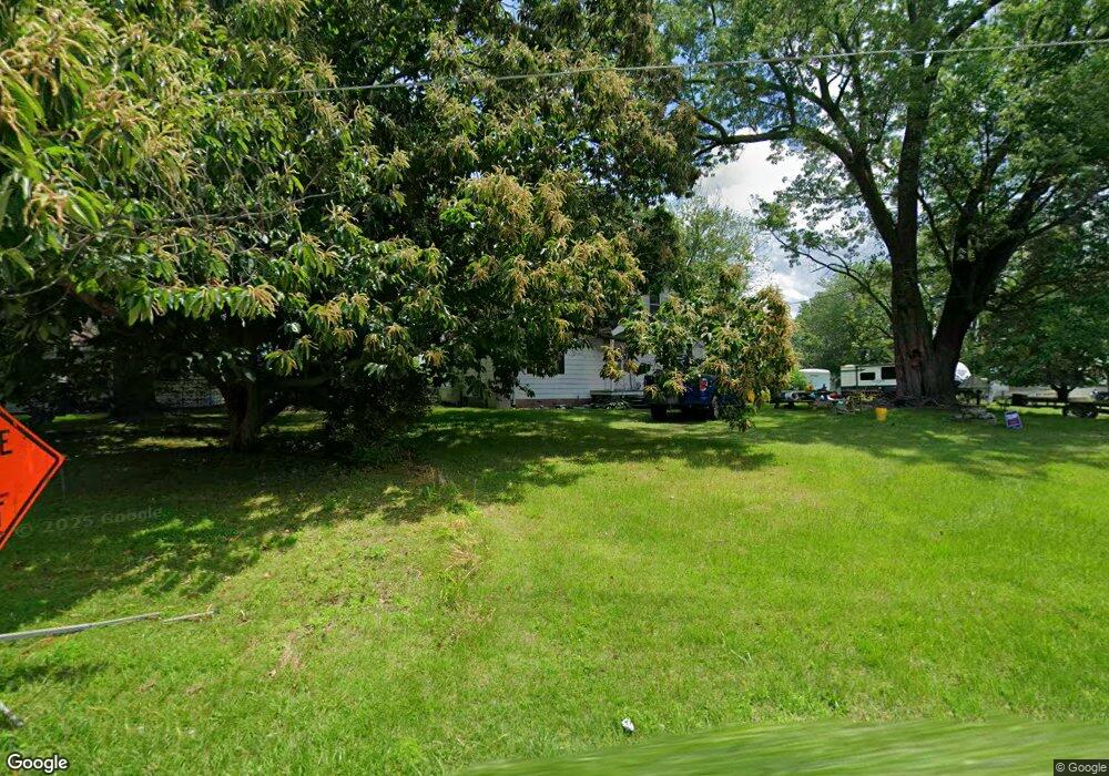
This home is located at 461 Deale Rd, Deale, MD 20751 and is currently estimated at $378,309, approximately $262 per square foot. 461 Deale Rd is a home located in Anne Arundel County with nearby schools including Deale Elementary School, Southern Middle School, and Southern High School.
Ownership History
Date
Name
Owned For
Owner Type
Purchase Details
Closed on
Jan 31, 2013
Sold by
Pennington Steven D and Pennington Valerie L
Bought by
Pennington Steven D
Current Estimated Value
Home Financials for this Owner
Home Financials are based on the most recent Mortgage that was taken out on this home.
Original Mortgage
$182,000
Outstanding Balance
$127,051
Interest Rate
3.38%
Mortgage Type
New Conventional
Estimated Equity
$251,258
Purchase Details
Closed on
Jan 29, 2004
Sold by
Thoma Thomas R
Bought by
Pennington Steven D and Pennington Valerie L
Purchase Details
Closed on
Nov 20, 2002
Sold by
Thoma Carol A
Bought by
Thoma Thomas R
Purchase Details
Closed on
Aug 24, 1998
Sold by
Marshall Cecil H
Bought by
Thoma Carol A
Create a Home Valuation Report for This Property
The Home Valuation Report is an in-depth analysis detailing your home's value as well as a comparison with similar homes in the area
Home Values in the Area
Average Home Value in this Area
Purchase History
| Date | Buyer | Sale Price | Title Company |
|---|---|---|---|
| Pennington Steven D | -- | Millenium Title | |
| Pennington Steven D | $186,000 | -- | |
| Thoma Thomas R | -- | -- | |
| Thoma Carol A | -- | -- |
Source: Public Records
Mortgage History
| Date | Status | Borrower | Loan Amount |
|---|---|---|---|
| Open | Pennington Steven D | $182,000 |
Source: Public Records
Tax History
| Year | Tax Paid | Tax Assessment Tax Assessment Total Assessment is a certain percentage of the fair market value that is determined by local assessors to be the total taxable value of land and additions on the property. | Land | Improvement |
|---|---|---|---|---|
| 2025 | $2,742 | $301,133 | -- | -- |
| 2024 | $2,742 | $290,267 | $0 | $0 |
Source: Public Records
Map
Nearby Homes
- 6061 Drum Point Rd
- 703 Trapper Way
- 617 Ford Rd
- 6069 Welch Ave
- 610 E Marshall Ave
- 6040 Melbourne Ave
- 6065 Melbourne Ave
- 6025 Franklin Gibson Rd
- 520 Ark Haven Rd
- 5931 Tyler Rd
- 5918 Sneed Dr
- 5930 Sneed Dr
- 350 E Bay Front Rd
- 6281 Franklin Gibson Rd
- 5741 Deale Churchton Rd
- 106 Valley View Farm Ln
- 939 Main St
- 6370 Genoa Rd
- 6300 Town Point Rd
- 962 Main St
- 465 Deale Rd
- 457 Deale Rd
- 6003 Herring Bay Rd
- 6003 Herring Bay Rd
- 421 Deale Rd
- 456 Deale Rd
- 470 Deale Rd
- 6005 Herring Bay Rd
- 6004 Herring Bay Rd
- 455 Deale Rd
- 6001 Herring Bay Rd
- 469 Deale Rd
- 477 Deale Rd
- 6018 Herring Bay Rd
- 471 Deale Rd
- 453 Deale Rd
- 488 Deale Rd
- 6022 Herring Bay Rd
- 483 Deale Rd
- 6029 Herring Bay Rd
Your Personal Tour Guide
Ask me questions while you tour the home.