461 N 2209th Rd Oglesby, IL 61348
Estimated Value: $315,903 - $341,000
--
Bed
--
Bath
2,590
Sq Ft
$126/Sq Ft
Est. Value
About This Home
This home is located at 461 N 2209th Rd, Oglesby, IL 61348 and is currently estimated at $325,976, approximately $125 per square foot. 461 N 2209th Rd is a home with nearby schools including Tonica Grade School and Holy Family Elementary School.
Ownership History
Date
Name
Owned For
Owner Type
Purchase Details
Closed on
Aug 7, 2025
Sold by
Payne Christopher B
Bought by
Payne Christopher B and Payne Kimberly A
Current Estimated Value
Purchase Details
Closed on
Jun 21, 2019
Sold by
Armjef Properties Ltd
Bought by
Ranver Properties Llc
Home Financials for this Owner
Home Financials are based on the most recent Mortgage that was taken out on this home.
Original Mortgage
$112,000
Interest Rate
4.1%
Mortgage Type
Commercial
Purchase Details
Closed on
Feb 1, 2014
Sold by
Kellogg Kathleen M
Bought by
Armjeff Properties Llc
Create a Home Valuation Report for This Property
The Home Valuation Report is an in-depth analysis detailing your home's value as well as a comparison with similar homes in the area
Home Values in the Area
Average Home Value in this Area
Purchase History
| Date | Buyer | Sale Price | Title Company |
|---|---|---|---|
| Payne Christopher B | -- | None Available | |
| Ranver Properties Llc | $140,000 | None Available | |
| Armjeff Properties Llc | $100,000 | None Available |
Source: Public Records
Mortgage History
| Date | Status | Borrower | Loan Amount |
|---|---|---|---|
| Previous Owner | Ranver Properties Llc | $112,000 |
Source: Public Records
Tax History Compared to Growth
Tax History
| Year | Tax Paid | Tax Assessment Tax Assessment Total Assessment is a certain percentage of the fair market value that is determined by local assessors to be the total taxable value of land and additions on the property. | Land | Improvement |
|---|---|---|---|---|
| 2024 | $3,395 | $32,962 | $9,940 | $23,022 |
| 2023 | $3,472 | $32,962 | $9,940 | $23,022 |
| 2022 | $3,320 | $31,096 | $9,377 | $21,719 |
| 2021 | $3,344 | $31,096 | $9,377 | $21,719 |
| 2020 | $3,326 | $31,096 | $9,377 | $21,719 |
| 2019 | $3,440 | $31,096 | $9,377 | $21,719 |
| 2018 | $3,437 | $31,096 | $9,377 | $21,719 |
| 2017 | $3,424 | $31,096 | $9,377 | $21,719 |
| 2016 | $3,436 | $31,096 | $9,377 | $21,719 |
| 2015 | $3,424 | $31,096 | $9,377 | $21,719 |
| 2012 | -- | $31,096 | $9,377 | $21,719 |
Source: Public Records
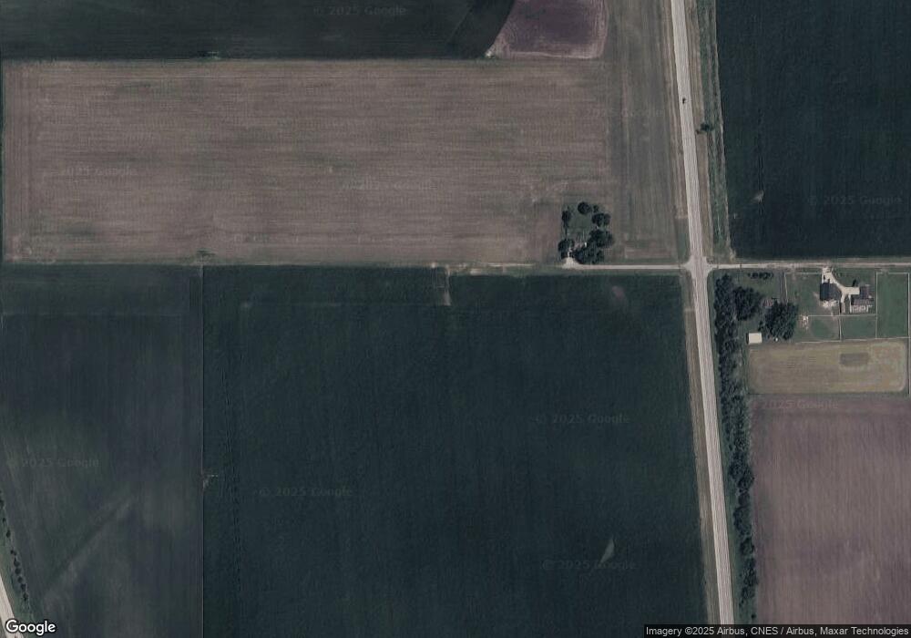
Map
Nearby Homes
- 2138 E 550th Rd
- 0 E 4th Rd
- 403 Uncas St
- 0 Deerfield Estates Lot 79 Rd Unit 202503543
- 0 Deerfield Estates Lot 79 Rd Unit MRD12404452
- 218 S Oneca St
- 2452 E 350th Rd
- 102 Maple St
- Lot59 AB Sunset Blvd
- 0 4th Rd Unit 9191077
- Lot 5 Thirty Foot Trail Rd
- 212 S Columbia Ave
- 0 Deerfield Estates Lot 78 Rd
- 590 W Walnut St
- 600 W Walnut St
- 100 N Lewis Ave
- 93 Sunset Blvd
- Lot 1 Watson Ave
- 429 E 1st St
- Lot 7 Sunset Blvd