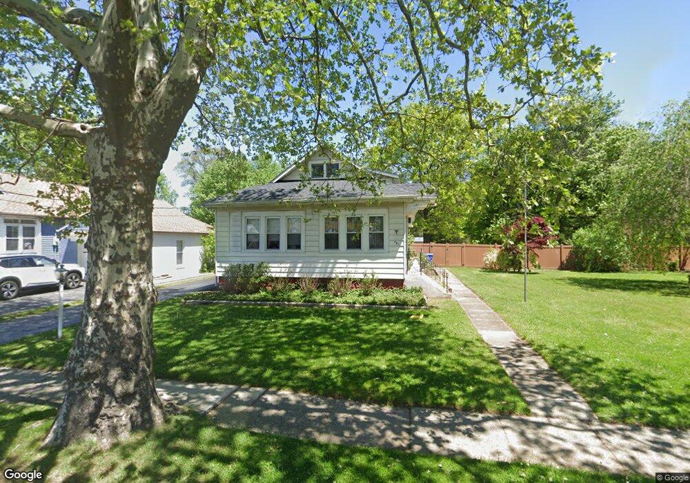
461 N Forklanding Rd Maple Shade, NJ 08052
Estimated Value: $301,000 - $363,000
--
Bed
--
Bath
1,152
Sq Ft
$283/Sq Ft
Est. Value
About This Home
This home is located at 461 N Forklanding Rd, Maple Shade, NJ 08052 and is currently estimated at $326,004, approximately $282 per square foot. 461 N Forklanding Rd is a home located in Burlington County with nearby schools including Ralph J Steinhauer Elementary School, Maude M. Wilkins Elementary School, and Howard R Yocum School.
Ownership History
Date
Name
Owned For
Owner Type
Purchase Details
Closed on
May 24, 2004
Sold by
The Estate Of Josephine M Strouse and Strouse George E
Bought by
Wilson Daniel and Wilson Colleen
Current Estimated Value
Home Financials for this Owner
Home Financials are based on the most recent Mortgage that was taken out on this home.
Original Mortgage
$150,000
Outstanding Balance
$73,381
Interest Rate
6.12%
Mortgage Type
Purchase Money Mortgage
Estimated Equity
$252,623
Create a Home Valuation Report for This Property
The Home Valuation Report is an in-depth analysis detailing your home's value as well as a comparison with similar homes in the area
Home Values in the Area
Average Home Value in this Area
Purchase History
| Date | Buyer | Sale Price | Title Company |
|---|---|---|---|
| Wilson Daniel | $200,000 | Security First Title Partner |
Source: Public Records
Mortgage History
| Date | Status | Borrower | Loan Amount |
|---|---|---|---|
| Open | Wilson Daniel | $150,000 |
Source: Public Records
Tax History Compared to Growth
Tax History
| Year | Tax Paid | Tax Assessment Tax Assessment Total Assessment is a certain percentage of the fair market value that is determined by local assessors to be the total taxable value of land and additions on the property. | Land | Improvement |
|---|---|---|---|---|
| 2025 | $6,996 | $184,300 | $68,000 | $116,300 |
| 2024 | $6,793 | $184,300 | $68,000 | $116,300 |
| 2023 | $6,793 | $184,300 | $68,000 | $116,300 |
| 2022 | $6,688 | $184,300 | $68,000 | $116,300 |
| 2021 | $6,624 | $184,300 | $68,000 | $116,300 |
| 2020 | $6,642 | $184,300 | $68,000 | $116,300 |
| 2019 | $6,399 | $184,300 | $68,000 | $116,300 |
| 2018 | $6,288 | $184,300 | $68,000 | $116,300 |
| 2017 | $6,215 | $184,300 | $68,000 | $116,300 |
| 2016 | $6,122 | $184,300 | $68,000 | $116,300 |
| 2015 | $5,990 | $184,300 | $68,000 | $116,300 |
| 2014 | $6,034 | $191,500 | $68,000 | $123,500 |
Source: Public Records
Map
Nearby Homes
- 4 W Germantown Ave
- 12 Collins Ln
- 301 N Coles Ave
- 41 Orchard Ave
- 218 E Germantown Ave
- 505 Greenwood Ave
- 29 W Broadway
- 48 N Terrace Ave
- 480 W Front St
- 22 Theodore Ave
- 425 Stiles Ave
- 104 E Laurelton Ave
- 524 W Main St
- 15 N Poplar Ave
- 124 Stiles Ave
- 431 E Park Ave
- 3422 Palace Ct
- 8534 Orchard Ave
- 19 Farnsworth Ave
- 8515 Bryn Mawr Ave
- 465 N Forklanding Rd
- 447 N Forklanding Rd
- 436 N Forklanding Rd
- 475 N Forklanding Rd
- 440 N Forklanding Rd
- 432 N Forklanding Rd
- 428 N Forklanding Rd
- 448 N Forklanding Rd
- 443 N Forklanding Rd
- 424 N Forklanding Rd
- 18 E Germantown Ave
- 4 E Germantown Ave
- 439 N Forklanding Rd
- 420 N Forklanding Rd
- 439 Oakland Ave
- 443 Oakland Ave
- 8 W Germantown Ave
- 435 Oakland Ave
- 447 Oakland Ave
- 503 N Forklanding Rd