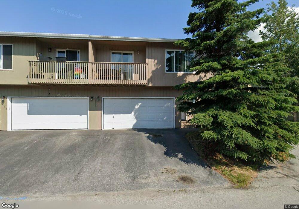
461 Ocean Point Dr Unit 69 Anchorage, AK 99515
Old Seward-Oceanview NeighborhoodEstimated Value: $331,000 - $334,684
3
Beds
2
Baths
1,364
Sq Ft
$244/Sq Ft
Est. Value
About This Home
This home is located at 461 Ocean Point Dr Unit 69, Anchorage, AK 99515 and is currently estimated at $332,842, approximately $244 per square foot. 461 Ocean Point Dr Unit 69 is a home located in Anchorage Municipality with nearby schools including Ocean View Elementary School, Hanshew Middle School, and Service High School.
Ownership History
Date
Name
Owned For
Owner Type
Purchase Details
Closed on
Oct 25, 2019
Sold by
Post Andrea D
Bought by
Post Deborah E
Current Estimated Value
Home Financials for this Owner
Home Financials are based on the most recent Mortgage that was taken out on this home.
Original Mortgage
$146,000
Outstanding Balance
$128,276
Interest Rate
3.75%
Estimated Equity
$204,566
Purchase Details
Closed on
Mar 29, 2002
Sold by
Discovery Construction Inc
Bought by
Post Andrea D
Home Financials for this Owner
Home Financials are based on the most recent Mortgage that was taken out on this home.
Original Mortgage
$141,300
Interest Rate
6.84%
Mortgage Type
FHA
Create a Home Valuation Report for This Property
The Home Valuation Report is an in-depth analysis detailing your home's value as well as a comparison with similar homes in the area
Home Values in the Area
Average Home Value in this Area
Purchase History
| Date | Buyer | Sale Price | Title Company |
|---|---|---|---|
| Post Deborah E | -- | -- | |
| Post Andrea D | -- | -- |
Source: Public Records
Mortgage History
| Date | Status | Borrower | Loan Amount |
|---|---|---|---|
| Open | Post Deborah E | $146,000 | |
| Closed | Post Deborah E | -- | |
| Previous Owner | Post Andrea D | $141,300 |
Source: Public Records
Tax History
| Year | Tax Paid | Tax Assessment Tax Assessment Total Assessment is a certain percentage of the fair market value that is determined by local assessors to be the total taxable value of land and additions on the property. | Land | Improvement |
|---|---|---|---|---|
| 2025 | $3,337 | $304,300 | -- | $304,300 |
| 2024 | $3,337 | $281,700 | $0 | $281,700 |
| 2023 | $4,334 | $254,500 | $0 | $254,500 |
| 2022 | $3,297 | $244,700 | $0 | $244,700 |
| 2021 | $4,157 | $230,700 | $0 | $230,700 |
| 2020 | $3,080 | $226,800 | $0 | $226,800 |
| 2019 | $2,961 | $226,200 | $0 | $226,200 |
| 2018 | $2,935 | $223,700 | $0 | $223,700 |
| 2017 | $3,262 | $228,300 | $0 | $228,300 |
| 2016 | $2,996 | $222,000 | $0 | $222,000 |
| 2015 | $2,996 | $214,700 | $0 | $214,700 |
| 2014 | $2,996 | $206,500 | $0 | $206,500 |
Source: Public Records
Map
Nearby Homes
- 402 Ocean Point Dr Unit 16
- 457 Dailey Ave Unit E22
- 12106 Lucille Ln Unit 1
- 291 Dailey Ave Unit 8
- 271 Dailey Ave Unit 12
- 500 Dailey Ave
- 12371 Gregg Ln Unit 71
- 170 Ocean Park Dr
- 130 Showers Ave
- 250 Botanical Cir
- 11323 Lillian Ln
- 9031 Old Seward Hwy
- 1105 E Klatt Rd
- 12438 Silver Fox Ln Unit 3
- 1100 E 112th Ave Unit 2
- 12961 Nora Dr
- 12636 Silver Fox Ln
- 11418 Moonrise Ridge Place Unit 19
- L27 B2 Laurel Acres
- 1030 Allison Cir
- 459 Ocean Point Dr Unit 70
- 461 Ocean Point Dr Unit 1376
- 12015 Tidepool Place Unit 52
- 12017 Tidepool Place Unit 51
- 12025 Tidepool Place Unit 50
- 12011 Whitecap Place Unit 40
- 12013 Whitecap Place Unit 39
- 12021 Whitecap Place Unit 38
- 12015 Coral Reef Place Unit 76
- 12017 Coral Reef Place Unit 75
- 12011 Seashore Place Unit 64
- 12013 Seashore Place Unit 63
- 12021 Seashore Place Unit 62
- 12023 Seashore Place Unit 61
- 12011 Anchor Place Unit 88
- 12013 Anchor Place Unit 87
- 12021 Anchor Place Unit 86
- 12023 Anchor Place Unit 85
- 12021 Anchor Place Unit 68
- 12015 Tidepool Place Unit 1225
Your Personal Tour Guide
Ask me questions while you tour the home.