Estimated Value: $373,000 - $523,000
3
Beds
1
Bath
986
Sq Ft
$471/Sq Ft
Est. Value
About This Home
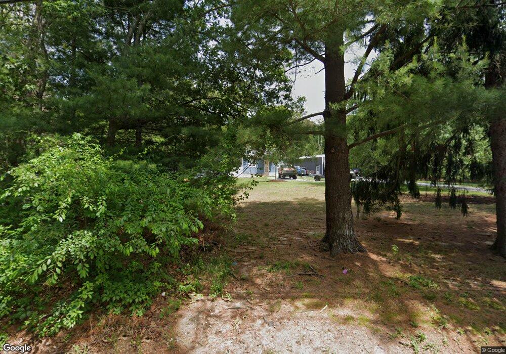
This home is located at 461 Randall Rd, Ridge, NY 11961 and is currently estimated at $464,217, approximately $470 per square foot. 461 Randall Rd is a home located in Suffolk County with nearby schools including Longwood Middle School, Longwood Junior High School, and Longwood Senior High School.
Ownership History
Date
Name
Owned For
Owner Type
Purchase Details
Closed on
May 22, 2020
Sold by
Milne Harry J and Milne Dorothe L
Bought by
Vangurp Colten R and Selini Gabriella
Current Estimated Value
Home Financials for this Owner
Home Financials are based on the most recent Mortgage that was taken out on this home.
Original Mortgage
$261,240
Interest Rate
3.3%
Mortgage Type
New Conventional
Purchase Details
Closed on
Oct 26, 2018
Sold by
Milne Harry R and Milne Doreathea L
Bought by
Milne Harry J and Milne Dorethea L
Create a Home Valuation Report for This Property
The Home Valuation Report is an in-depth analysis detailing your home's value as well as a comparison with similar homes in the area
Home Values in the Area
Average Home Value in this Area
Purchase History
| Date | Buyer | Sale Price | Title Company |
|---|---|---|---|
| Vangurp Colten R | $266,060 | None Available | |
| Vangurp Colten R | $266,060 | None Available | |
| Milne Harry J | -- | -- | |
| Milne Harry J | -- | -- |
Source: Public Records
Mortgage History
| Date | Status | Borrower | Loan Amount |
|---|---|---|---|
| Previous Owner | Vangurp Colten R | $261,240 |
Source: Public Records
Tax History
| Year | Tax Paid | Tax Assessment Tax Assessment Total Assessment is a certain percentage of the fair market value that is determined by local assessors to be the total taxable value of land and additions on the property. | Land | Improvement |
|---|---|---|---|---|
| 2024 | $6,409 | $1,400 | $500 | $900 |
| 2023 | $6,409 | $1,400 | $500 | $900 |
| 2022 | $5,939 | $1,400 | $500 | $900 |
| 2021 | $5,939 | $1,400 | $500 | $900 |
| 2020 | $6,046 | $1,400 | $500 | $900 |
| 2019 | $6,046 | $0 | $0 | $0 |
| 2018 | $5,704 | $1,400 | $500 | $900 |
| 2017 | $5,704 | $1,400 | $500 | $900 |
| 2016 | $5,637 | $1,400 | $500 | $900 |
| 2015 | -- | $1,400 | $500 | $900 |
| 2014 | -- | $1,400 | $500 | $900 |
Source: Public Records
Map
Nearby Homes
- Lot 39 Fox Run Ct
- 0 Elizabeth Way Unit KEY803253
- 10 Sally Ln
- 37 Pond Ln
- 20 Ruth Ln
- 28 Francis Mooney Dr
- Lot #6 Cardinal Ct
- LOT 28 Stephanie Ct
- LOT 29 Stephanie Ct
- 33 Highview Ln
- 206 Belfast Ln
- 190 Edinburgh Dr
- 506 Lancaster Ct
- 359 Randall Rd
- 475 Stratford Ln
- 51 Ridge Haven Dr
- 498 Cranston Ln
- 41 Woodbrook Dr
- 151 Laurance Ln
- 145 Edinburgh Dr
- 455 Randall Rd
- 463 Randall Rd
- 458 Randall Rd
- 451 Randall Rd
- 454 Randall Rd
- 449 Randall Rd
- 450 Randall Rd
- Lot 34 Fox Run Ct Rd
- Lot 12 Katelyn Ct Rd
- Lot 8 Katelyn Ct Rd
- Lot 1 Cardinal Ct Rd
- Lot 6 Cardinal Ct Rd
- Lot 1 Katie Ct
- N/C Katie Ct
- Lot 48/49 Wauwepex Trail
- 0 Elizabeth Way Unit 3374237
- Lot# 9 Katelyn Ct
- Lot # 10 Katelyn Ct
- Lot# 11 Katelyn Ct
- LOT 7 Wading River Hol Rd
Your Personal Tour Guide
Ask me questions while you tour the home.