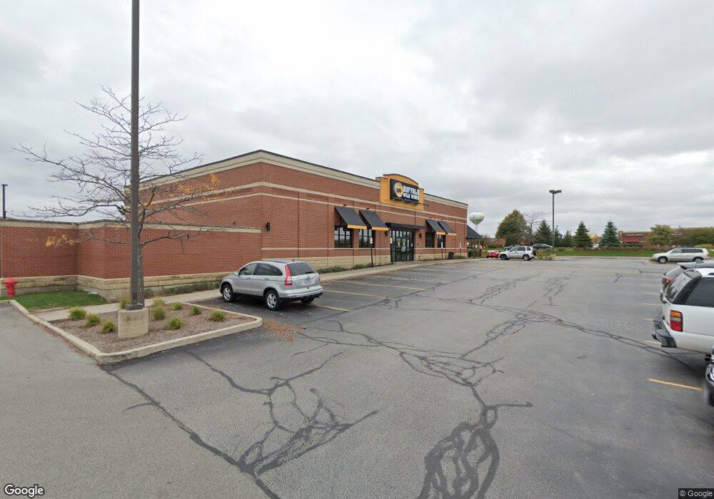
461 S Randall Rd Algonquin, IL 60102
Estimated Value: $6,729,594
Studio
--
Bath
--
Sq Ft
39,248
Sq Ft
About This Home
This home is located at 461 S Randall Rd, Algonquin, IL 60102 and is currently estimated at $6,729,594. 461 S Randall Rd is a home located in McHenry County with nearby schools including Westfield Community School, Lincoln Prairie Elementary School, and Harry D Jacobs High School.
Ownership History
Date
Name
Owned For
Owner Type
Purchase Details
Closed on
Sep 28, 2023
Sold by
Demooei Hormoz
Bought by
461 S Randall Rd Llc
Current Estimated Value
Purchase Details
Closed on
Jul 5, 2011
Sold by
North Star Trust Company
Bought by
Demooei Hormoz
Home Financials for this Owner
Home Financials are based on the most recent Mortgage that was taken out on this home.
Original Mortgage
$1,950,000
Interest Rate
1.58%
Mortgage Type
Future Advance Clause Open End Mortgage
Purchase Details
Closed on
Aug 24, 2005
Sold by
Heres Wings Llc
Bought by
Harris Na and Trust #Hth 2459
Home Financials for this Owner
Home Financials are based on the most recent Mortgage that was taken out on this home.
Original Mortgage
$2,475,000
Interest Rate
6.05%
Mortgage Type
Commercial
Create a Home Valuation Report for This Property
The Home Valuation Report is an in-depth analysis detailing your home's value as well as a comparison with similar homes in the area
Purchase History
| Date | Buyer | Sale Price | Title Company |
|---|---|---|---|
| 461 S Randall Rd Llc | -- | None Listed On Document | |
| Demooei Hormoz | $3,000,000 | Metropolitan Title Agency | |
| Harris Na | $3,300,000 | City Suburban Title |
Source: Public Records
Mortgage History
| Date | Status | Borrower | Loan Amount |
|---|---|---|---|
| Previous Owner | Demooei Hormoz | $1,950,000 | |
| Previous Owner | Harris Na | $2,475,000 |
Source: Public Records
Tax History
| Year | Tax Paid | Tax Assessment Tax Assessment Total Assessment is a certain percentage of the fair market value that is determined by local assessors to be the total taxable value of land and additions on the property. | Land | Improvement |
|---|---|---|---|---|
| 2024 | $40,847 | $522,165 | $120,353 | $401,812 |
| 2023 | $59,602 | $711,999 | $354,824 | $357,175 |
| 2022 | $55,109 | $642,598 | $320,238 | $322,360 |
| 2021 | $53,121 | $598,657 | $298,340 | $300,317 |
| 2020 | $47,534 | $529,377 | $287,779 | $241,598 |
| 2019 | $50,751 | $552,704 | $275,439 | $277,265 |
| 2018 | $4,866,674 | $510,581 | $254,447 | $256,134 |
Source: Public Records
Map
Nearby Homes
- 2380 Dawson Ln Unit 165
- 1920 Jester Ln
- 145 S Oakleaf Rd
- 601 Woods Creek Ln
- 681 Majestic Dr
- 101 Oakleaf Rd
- 1157 Sawmill Ln
- 7 Falcon Ridge Ct
- 113 Pheasant Trail
- 14 Wander Way
- 760 Regal Ln
- 135 Arquilla Dr
- 1820 Crofton Dr
- 2601 Harnish Dr
- 700 Fairfield Ln
- 432 Thunder Ridge
- 74 Harvest Gate
- 16 Springbrook Ln
- 2660 Harnish Dr
- 305 Harvest Gate
- 501 S Randall Rd
- 2400 Huntington Dr N
- 418 S Randall Rd
- 410 S Randall Rd Unit 418
- 2230 N Huntington Dr
- 2100 Huntington Dr N Unit C
- 2100 Huntington Dr N Unit B
- 2100 Huntington Dr N
- 2200 Huntington Dr N
- 260 Stonegate Rd
- 260 Stonegate Rd
- 270 Stonegate Rd
- 300 Stonegate Rd
- 268 S Randall Rd
- 244 S Randall Rd
- 252 S Randall Rd
- 265 Stonegate Rd Unit 105
- 265 Stonegate Rd
- 275 Stonegate Rd
- 7 Cardiff Ct
Your Personal Tour Guide
Ask me questions while you tour the home.