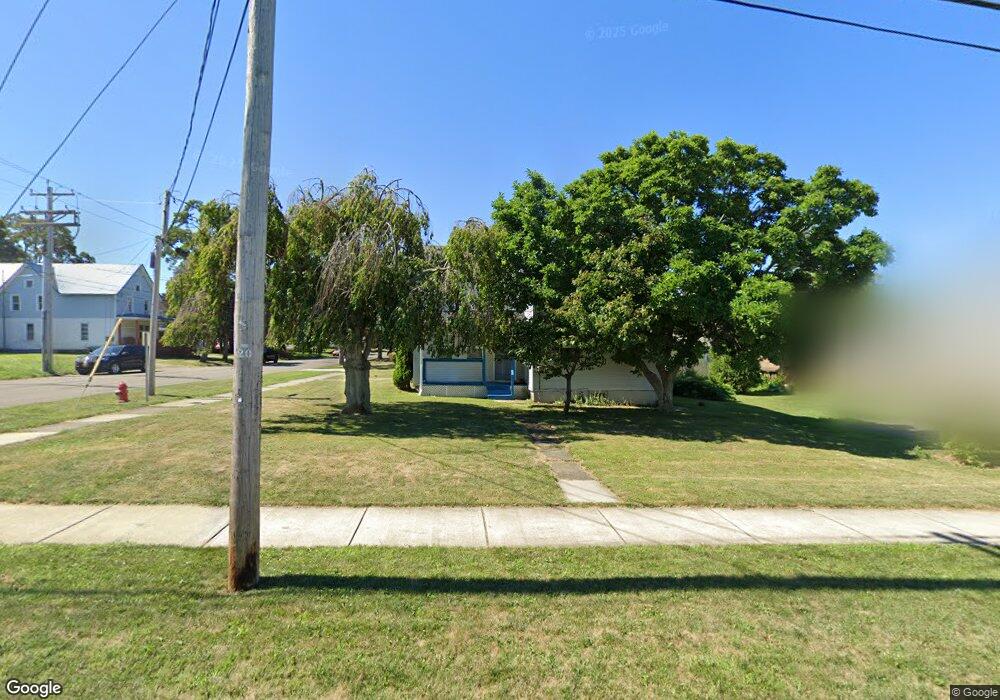
461 S Roberts Rd Dunkirk, NY 14048
Estimated Value: $60,234 - $129,000
6
Beds
3
Baths
2,352
Sq Ft
$45/Sq Ft
Est. Value
About This Home
This home is located at 461 S Roberts Rd, Dunkirk, NY 14048 and is currently estimated at $106,309, approximately $45 per square foot. 461 S Roberts Rd is a home located in Chautauqua County with nearby schools including Dunkirk Intermediate School, Northern Chautauqua Catholic School, and Central Christian Academy.
Ownership History
Date
Name
Owned For
Owner Type
Purchase Details
Closed on
Aug 20, 2009
Sold by
Symans Scott
Bought by
Dolce Nathan
Current Estimated Value
Home Financials for this Owner
Home Financials are based on the most recent Mortgage that was taken out on this home.
Original Mortgage
$24,800
Outstanding Balance
$16,153
Interest Rate
5.19%
Mortgage Type
Purchase Money Mortgage
Estimated Equity
$90,156
Purchase Details
Closed on
Mar 27, 1996
Sold by
Martell Clifford D
Bought by
Symans Scott
Create a Home Valuation Report for This Property
The Home Valuation Report is an in-depth analysis detailing your home's value as well as a comparison with similar homes in the area
Home Values in the Area
Average Home Value in this Area
Purchase History
| Date | Buyer | Sale Price | Title Company |
|---|---|---|---|
| Dolce Nathan | $31,000 | Ronald Szot | |
| Symans Scott | $18,500 | -- |
Source: Public Records
Mortgage History
| Date | Status | Borrower | Loan Amount |
|---|---|---|---|
| Open | Dolce Nathan | $24,800 |
Source: Public Records
Tax History Compared to Growth
Tax History
| Year | Tax Paid | Tax Assessment Tax Assessment Total Assessment is a certain percentage of the fair market value that is determined by local assessors to be the total taxable value of land and additions on the property. | Land | Improvement |
|---|---|---|---|---|
| 2024 | $785 | $19,500 | $4,400 | $15,100 |
| 2023 | $769 | $19,500 | $4,400 | $15,100 |
| 2022 | $677 | $19,500 | $4,400 | $15,100 |
| 2021 | $678 | $19,500 | $4,400 | $15,100 |
| 2020 | $673 | $19,500 | $4,400 | $15,100 |
| 2019 | $681 | $19,500 | $4,400 | $15,100 |
| 2018 | $681 | $19,500 | $4,400 | $15,100 |
| 2017 | $668 | $19,500 | $4,400 | $15,100 |
| 2016 | $650 | $19,500 | $4,400 | $15,100 |
| 2015 | -- | $19,500 | $4,400 | $15,100 |
| 2014 | -- | $19,500 | $4,400 | $15,100 |
Source: Public Records
Map
Nearby Homes
- 49 E Courtney St
- 136 Hoyt St
- 115 Nevins St
- 144 Lord St
- 25 E Talcott St
- 210 Webster St
- 336 Nevins St
- 0 W Benton & Ruggles St Unit R1631836
- 123 Ruggles St
- 136 S Martin St
- 267 Lake Shore Dr E
- 208 S Zebra St
- 212 King St Unit 12 1/2
- 447 Hoyt St
- 99 King St
- 14 N Beagle St
- 57 Tenney St
- 213 King St
- 77 King St
- 123 Maple Ave
- 64 E Courtney St
- 453 S Roberts Rd
- 449 S Roberts Rd
- 62 E Courtney St
- 501 S Roberts Rd
- 447 S Roberts Rd
- 65 E Courtney St
- 60 E Courtney St
- 140 Townsend St
- 445 S Roberts Rd
- 503 S Roberts Rd
- 136 Townsend St
- 441 S Roberts Rd
- 134 Townsend St
- 204 Townsend St Unit 1
- 204 Townsend St
- 437 S Roberts Rd
- 0 S Roberts Rd
- 132 Townsend St
- 130 Townsend St