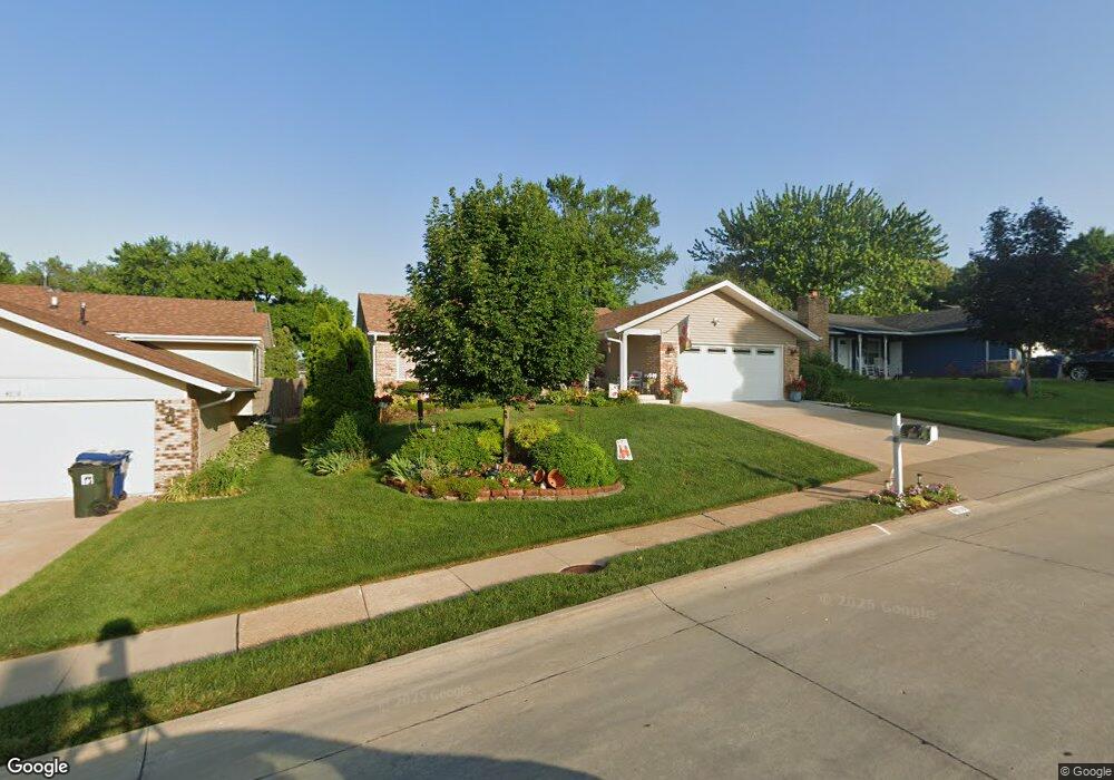
4610 Fillmore Ln Davenport, IA 52806
North Side NeighborhoodEstimated Value: $269,000 - $295,398
3
Beds
3
Baths
1,428
Sq Ft
$196/Sq Ft
Est. Value
About This Home
This home is located at 4610 Fillmore Ln, Davenport, IA 52806 and is currently estimated at $280,350, approximately $196 per square foot. 4610 Fillmore Ln is a home located in Scott County with nearby schools including Cumberland Hall School, Harrison Elementary School, and Academy Of Continuing Education.
Ownership History
Date
Name
Owned For
Owner Type
Purchase Details
Closed on
Oct 9, 2008
Sold by
Goode Brian D and Goode Cheryl A
Bought by
Leander Stephen and Leander Donna J
Current Estimated Value
Home Financials for this Owner
Home Financials are based on the most recent Mortgage that was taken out on this home.
Original Mortgage
$119,000
Interest Rate
6.41%
Mortgage Type
Purchase Money Mortgage
Create a Home Valuation Report for This Property
The Home Valuation Report is an in-depth analysis detailing your home's value as well as a comparison with similar homes in the area
Home Values in the Area
Average Home Value in this Area
Purchase History
| Date | Buyer | Sale Price | Title Company |
|---|---|---|---|
| Leander Stephen | $159,000 | None Available |
Source: Public Records
Mortgage History
| Date | Status | Borrower | Loan Amount |
|---|---|---|---|
| Closed | Leander Stephen | $119,000 |
Source: Public Records
Tax History Compared to Growth
Tax History
| Year | Tax Paid | Tax Assessment Tax Assessment Total Assessment is a certain percentage of the fair market value that is determined by local assessors to be the total taxable value of land and additions on the property. | Land | Improvement |
|---|---|---|---|---|
| 2025 | $4,116 | $265,020 | $34,910 | $230,110 |
| 2024 | $4,128 | $254,200 | $34,910 | $219,290 |
| 2023 | $4,620 | $254,200 | $34,910 | $219,290 |
| 2022 | $4,640 | $225,150 | $31,880 | $193,270 |
| 2021 | $4,640 | $225,150 | $31,880 | $193,270 |
| 2020 | $4,218 | $202,980 | $31,880 | $171,100 |
| 2019 | $3,752 | $175,760 | $31,880 | $143,880 |
| 2018 | $3,352 | $175,760 | $31,880 | $143,880 |
| 2017 | $3,476 | $161,370 | $31,880 | $129,490 |
| 2016 | $3,344 | $161,370 | $0 | $0 |
| 2015 | $3,344 | $165,940 | $0 | $0 |
| 2014 | $3,492 | $165,940 | $0 | $0 |
| 2013 | $3,428 | $0 | $0 | $0 |
| 2012 | -- | $149,330 | $31,420 | $117,910 |
Source: Public Records
Map
Nearby Homes
- 4618 Fillmore Ln
- 4757 Willow Cir
- 4743 Willow Cir
- 4405 Royal Oaks Dr
- 4612 Warren St Unit 5
- 4804 Northwest Blvd
- 4449 Royal Oaks Dr
- 1453 W 41st St
- 4023 Lillie Ave Unit 406
- 5210 N Division St
- 7 Vista Ct
- 4132 Rodeo Rd
- 1729 Welshire Dr
- 825 Northbrook Dr
- 1517 W Kimberly Rd
- 4315 El Rancho Dr
- 4942 Brown St
- 3831 N Sturdevant St
- 28 W Village Cir
- 5436 N Division St
- 4604 Fillmore Ln
- 4611 Washington St
- 1444 W 46th St
- 4619 Washington St
- 4624 Fillmore Ln
- 4611 Fillmore Ln
- 4625 Washington St
- 4619 Fillmore Ln
- 1450 W 46th St
- 4630 Fillmore Ln
- 1503 W 46th Place
- 4629 Washington St
- 4625 Fillmore Ln
- 1429 W 46th St
- 4614 Fillmore Ct
- 4638 Fillmore Ln
- 4604 Fillmore Ct
- 4604 Fillmore Ct
- 1511 W 46th Place
- 1423 W 46th St