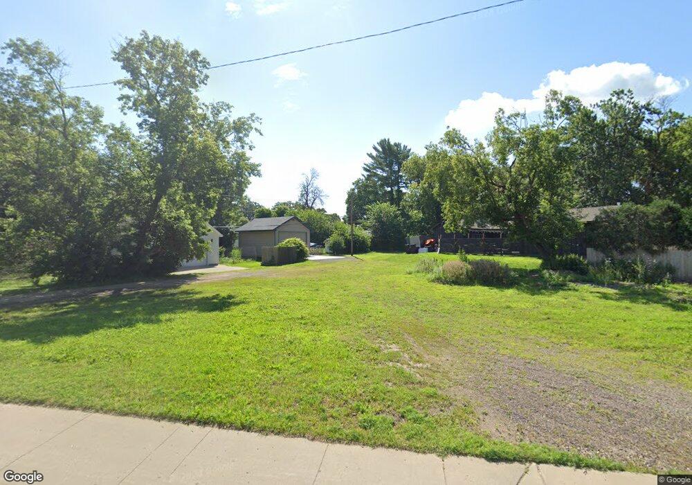
4610 Highway 61 N White Bear Lake, MN 55110
Estimated Value: $137,314 - $543,000
--
Bed
--
Bath
--
Sq Ft
0.31
Acres
About This Home
This home is located at 4610 Highway 61 N, White Bear Lake, MN 55110 and is currently estimated at $340,157. 4610 Highway 61 N is a home located in Ramsey County with nearby schools including Lakeaires Elementary School, Central Middle School, and Liberty Classical Academy.
Ownership History
Date
Name
Owned For
Owner Type
Purchase Details
Closed on
Mar 15, 2016
Sold by
Misukanis Eugene D
Bought by
Brown William David
Current Estimated Value
Home Financials for this Owner
Home Financials are based on the most recent Mortgage that was taken out on this home.
Original Mortgage
$115,000
Interest Rate
5%
Mortgage Type
Seller Take Back
Purchase Details
Closed on
Sep 7, 2001
Sold by
Estate Of Louise Lindbeck
Bought by
Misukanis Eugene D and Misukanis Marianne
Create a Home Valuation Report for This Property
The Home Valuation Report is an in-depth analysis detailing your home's value as well as a comparison with similar homes in the area
Home Values in the Area
Average Home Value in this Area
Purchase History
| Date | Buyer | Sale Price | Title Company |
|---|---|---|---|
| Brown William David | $130,000 | Arden Title Llc | |
| Misukanis Eugene D | $135,000 | -- | |
| Halverson Jack D | $135,000 | -- |
Source: Public Records
Mortgage History
| Date | Status | Borrower | Loan Amount |
|---|---|---|---|
| Closed | Brown William David | $115,000 | |
| Closed | Halverson Jack D | -- |
Source: Public Records
Tax History Compared to Growth
Tax History
| Year | Tax Paid | Tax Assessment Tax Assessment Total Assessment is a certain percentage of the fair market value that is determined by local assessors to be the total taxable value of land and additions on the property. | Land | Improvement |
|---|---|---|---|---|
| 2025 | $1,732 | $107,500 | $107,500 | -- |
| 2023 | $1,732 | $107,500 | $107,500 | $0 |
| 2022 | $1,754 | $107,500 | $107,500 | $0 |
| 2021 | $1,714 | $107,500 | $107,500 | $0 |
| 2020 | $1,826 | $107,500 | $107,500 | $0 |
| 2019 | $1,694 | $107,500 | $107,500 | $0 |
| 2018 | $1,650 | $107,500 | $107,500 | $0 |
| 2017 | $2,228 | $107,500 | $107,500 | $0 |
| 2016 | $2,322 | $0 | $0 | $0 |
| 2015 | $4,574 | $81,000 | $81,000 | $0 |
| 2014 | $4,768 | $0 | $0 | $0 |
Source: Public Records
Map
Nearby Homes
- 1988 Florence St
- 4523 Lincoln Ave
- 1917 Webber St
- 1905 Birch Lake Ave
- 1744 Birch Lake Ave
- 1874 8th St
- 4838 Stewart Ave
- 4890 Cook Ave
- 1770 5th St
- 4864 Woodcrest Rd
- 4558 Margaret St
- 4545 Margaret St
- 4987 Campbell Ave
- 4592 Carolyn Ln
- 4485 Margaret St
- 2239 10th St
- 4969 Georgia Ln
- 4969 Stewart Ave
- 4927 Lake Ave
- 219X 12th St