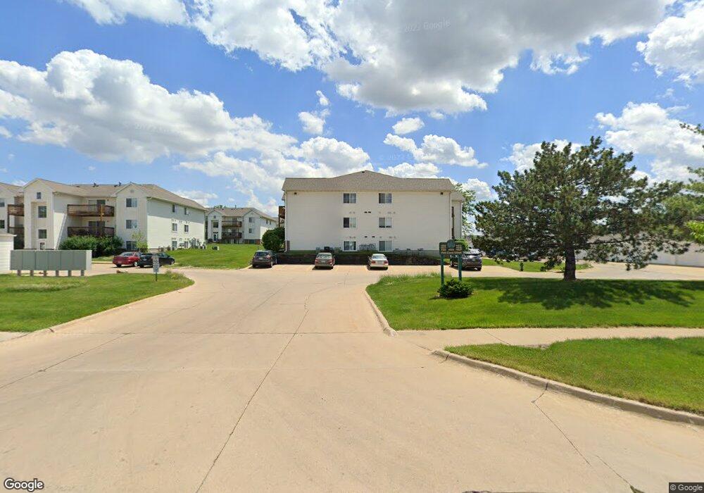
4611 1st Ave SW Cedar Rapids, IA 52405
Estimated Value: $94,000 - $97,667
2
Beds
1
Bath
900
Sq Ft
$106/Sq Ft
Est. Value
About This Home
This home is located at 4611 1st Ave SW, Cedar Rapids, IA 52405 and is currently estimated at $95,417, approximately $106 per square foot. 4611 1st Ave SW is a home located in Linn County with nearby schools including Hoover Elementary School, Roosevelt Creative Corridor Business Academy, and Thomas Jefferson High School.
Ownership History
Date
Name
Owned For
Owner Type
Purchase Details
Closed on
Jul 31, 2025
Sold by
Rullman Jennie Joan
Bought by
Mason Faye
Current Estimated Value
Home Financials for this Owner
Home Financials are based on the most recent Mortgage that was taken out on this home.
Original Mortgage
$85,500
Outstanding Balance
$85,425
Interest Rate
6.67%
Mortgage Type
New Conventional
Estimated Equity
$9,992
Purchase Details
Closed on
Nov 2, 2007
Sold by
Nelson Robert D and Nelson Cynthia
Bought by
Rullman Jennie Joan
Home Financials for this Owner
Home Financials are based on the most recent Mortgage that was taken out on this home.
Original Mortgage
$65,000
Interest Rate
6.38%
Mortgage Type
Purchase Money Mortgage
Create a Home Valuation Report for This Property
The Home Valuation Report is an in-depth analysis detailing your home's value as well as a comparison with similar homes in the area
Home Values in the Area
Average Home Value in this Area
Purchase History
| Date | Buyer | Sale Price | Title Company |
|---|---|---|---|
| Mason Faye | $95,000 | None Listed On Document | |
| Mason Faye | $95,000 | None Listed On Document | |
| Rullman Jennie Joan | $72,500 | None Available |
Source: Public Records
Mortgage History
| Date | Status | Borrower | Loan Amount |
|---|---|---|---|
| Open | Mason Faye | $85,500 | |
| Closed | Mason Faye | $85,500 | |
| Previous Owner | Rullman Jennie Joan | $65,000 |
Source: Public Records
Tax History Compared to Growth
Tax History
| Year | Tax Paid | Tax Assessment Tax Assessment Total Assessment is a certain percentage of the fair market value that is determined by local assessors to be the total taxable value of land and additions on the property. | Land | Improvement |
|---|---|---|---|---|
| 2025 | $1,360 | $93,900 | $13,000 | $80,900 |
| 2024 | $1,422 | $87,300 | $13,000 | $74,300 |
| 2023 | $1,422 | $87,300 | $13,000 | $74,300 |
| 2022 | $1,358 | $76,300 | $10,000 | $66,300 |
| 2021 | $1,382 | $74,500 | $10,000 | $64,500 |
| 2020 | $1,382 | $71,200 | $10,000 | $61,200 |
| 2019 | $1,236 | $65,900 | $10,000 | $55,900 |
| 2018 | $1,020 | $65,900 | $10,000 | $55,900 |
| 2017 | $1,337 | $62,900 | $5,000 | $57,900 |
| 2016 | $1,337 | $62,900 | $5,000 | $57,900 |
| 2015 | $1,375 | $64,648 | $5,000 | $59,648 |
| 2014 | $1,190 | $64,648 | $5,000 | $59,648 |
| 2013 | $1,160 | $64,648 | $5,000 | $59,648 |
Source: Public Records
Map
Nearby Homes
- 4619 1st Ave SW Unit 3
- 123 Rich Mar Ct NW
- 3724 2nd Ave SW
- 251 Boice Rd NW
- 56 Julia Ann Dr NW
- 4851 Ford Ave NW
- 4839 Ford Ave NW
- 271 Lynda Dr NW
- 150 Meadowlark Ln NW
- 4541 Midway Dr NW
- 281 Jacolyn Dr NW
- 4821 Midway Dr NW
- 5101 Kesler Rd NW
- 3403 1st Ave SW
- 5500 Sharon Ln NW
- 2335 Wiley Blvd SW
- 5720 Gordon Ave NW
- 5817 Eastview Ave SW
- 409 Carter St NW
- 164 Cherry Hill Rd NW
- 4611 1st Ave SW Unit 11
- 4611 1st Ave SW Unit 10
- 4611 1st Ave SW Unit 9
- 4611 1st Ave SW
- 4611 1st Ave SW Unit 7
- 4611 1st Ave SW
- 4611 1st Ave SW
- 4611 1st Ave SW
- 4611 1st Ave SW
- 4611 1st Ave SW Unit 5
- 4619 1st Ave SW
- 4619 1st Ave SW Unit 10
- 4619 1st Ave SW Unit 9
- 4619 1st Ave SW
- 4619 1st Ave SW
- 4619 1st Ave SW
- 4619 1st Ave SW
- 4619 1st Ave SW
- 4619 1st Ave SW
- 4619 1st Ave SW