Estimated Value: $249,874
Studio
--
Bath
18,792
Sq Ft
$13/Sq Ft
Est. Value
About This Home
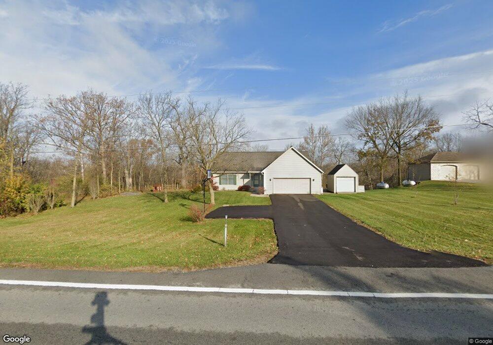
This home is located at 4611 State Route, Ada, OH 45810 and is currently estimated at $249,874, approximately $13 per square foot. 4611 State Route is a home located in Hardin County with nearby schools including Ada Elementary School and Ada High School.
Ownership History
Date
Name
Owned For
Owner Type
Purchase Details
Closed on
Apr 8, 2020
Sold by
Ohio Northern University
Bought by
Amburgey John A and Amburgey Patricia A
Current Estimated Value
Purchase Details
Closed on
Mar 21, 2001
Bought by
Ohio Northern University
Purchase Details
Closed on
Jan 21, 1997
Bought by
Amburgey John A and Amburgey Patric
Purchase Details
Closed on
Dec 9, 1986
Create a Home Valuation Report for This Property
The Home Valuation Report is an in-depth analysis detailing your home's value as well as a comparison with similar homes in the area
Home Values in the Area
Average Home Value in this Area
Purchase History
| Date | Buyer | Sale Price | Title Company |
|---|---|---|---|
| Amburgey John A | $160,000 | None Available | |
| Ohio Northern University | $177,400 | -- | |
| Amburgey John A | $150,000 | -- | |
| -- | -- | -- |
Source: Public Records
Tax History
| Year | Tax Paid | Tax Assessment Tax Assessment Total Assessment is a certain percentage of the fair market value that is determined by local assessors to be the total taxable value of land and additions on the property. | Land | Improvement |
|---|---|---|---|---|
| 2024 | $3,550 | $64,090 | $12,800 | $51,290 |
| 2023 | $3,539 | $64,090 | $12,800 | $51,290 |
| 2022 | $3,419 | $58,220 | $8,290 | $49,930 |
| 2021 | $3,732 | $58,220 | $8,290 | $49,930 |
| 2020 | $3,772 | $58,220 | $8,290 | $49,930 |
| 2019 | $5,215 | $84,320 | $8,290 | $76,030 |
| 2018 | $5,143 | $84,320 | $8,290 | $76,030 |
| 2017 | $5,033 | $84,320 | $8,290 | $76,030 |
| 2016 | $4,133 | $72,540 | $8,290 | $64,250 |
| 2015 | $3,867 | $72,540 | $8,290 | $64,250 |
| 2014 | $4,120 | $72,540 | $8,290 | $64,250 |
| 2013 | $4,106 | $72,540 | $8,290 | $64,250 |
Source: Public Records
Map
Nearby Homes
- 2959 County Road 60
- 318 Willeke Ave
- 820 S Main St
- 722 S Johnson St
- 710 S Main St
- 314 E University Ave
- 308-310 S Simon St
- 510 E Lehr Ave Unit 510R
- 5594 County Road 35
- 211 S Main St
- 210 N Gilbert St
- 1689 County Road 50
- 2864 Ohio 309
- 420 N Simon St
- 442 Edwards St
- 530 N Main St
- 327 W North Ave
- 128 W North Ave
- 503 E North Ave
- 629 N Main St
- 4611 State Route 235
- 4563 State Route 235
- #23 4599 Sr
- #9 4599 Sr
- 4599 St Route
- 4599 Sr
- 4663 State Route 235
- 4599 State Route 235
- 4593 State Route 235
- 4697 State Route 235
- 4623 State Route 235
- 4623 State Route 235
- 4719 State Route 235
- 4697 Ohio 235
- 4719 Ohio 235
- 4745 State Route
- 4745 State Route 235
- 4745 Ohio 235
- 4624 State Route 235
Your Personal Tour Guide
Ask me questions while you tour the home.