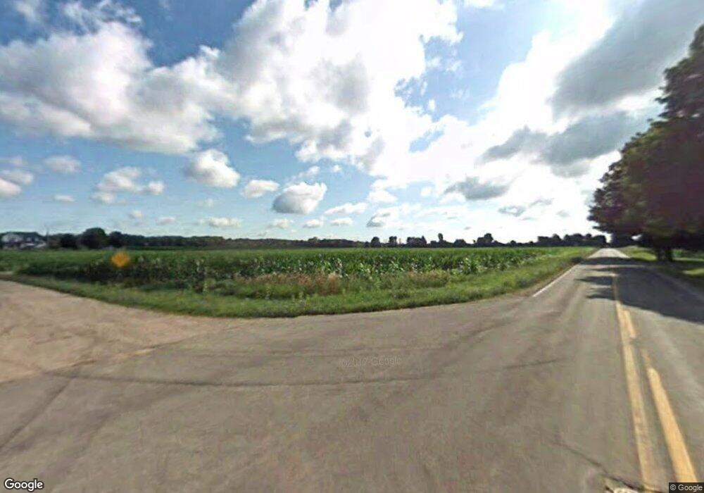
4612 W David Hwy Saranac, MI 48881
Estimated Value: $244,000 - $393,000
2
Beds
1
Bath
1,100
Sq Ft
$291/Sq Ft
Est. Value
About This Home
This home is located at 4612 W David Hwy, Saranac, MI 48881 and is currently estimated at $319,820, approximately $290 per square foot. 4612 W David Hwy is a home located in Ionia County with nearby schools including Saranac Elementary School and Saranac Junior/Senior High School.
Ownership History
Date
Name
Owned For
Owner Type
Purchase Details
Closed on
Jul 21, 2009
Sold by
Hsbc Mortgage Services
Bought by
Kruger Noah
Current Estimated Value
Purchase Details
Closed on
Jun 5, 2008
Sold by
Owen Michael Thomas and Owen Julie Anne
Bought by
Hsbc Mortgage Services Inc
Purchase Details
Closed on
Feb 11, 2005
Sold by
Overholt Arlan and Overholt Michelle M
Bought by
Post Rick and Post Geraldine
Home Financials for this Owner
Home Financials are based on the most recent Mortgage that was taken out on this home.
Original Mortgage
$330,000
Interest Rate
5.7%
Mortgage Type
Construction
Purchase Details
Closed on
Dec 20, 2004
Sold by
Overholt Arlan and Overholt Michelle M
Bought by
Owen Michael Thomas
Home Financials for this Owner
Home Financials are based on the most recent Mortgage that was taken out on this home.
Original Mortgage
$330,000
Interest Rate
5.7%
Mortgage Type
Construction
Create a Home Valuation Report for This Property
The Home Valuation Report is an in-depth analysis detailing your home's value as well as a comparison with similar homes in the area
Home Values in the Area
Average Home Value in this Area
Purchase History
| Date | Buyer | Sale Price | Title Company |
|---|---|---|---|
| Kruger Noah | $80,000 | -- | |
| Hsbc Mortgage Services Inc | $100,001 | None Available | |
| Post Rick | $140,000 | -- | |
| Owen Michael Thomas | $130,000 | Lenders Title Llc |
Source: Public Records
Mortgage History
| Date | Status | Borrower | Loan Amount |
|---|---|---|---|
| Previous Owner | Post Rick | $330,000 | |
| Previous Owner | Owen Michael Thomas | $130,000 |
Source: Public Records
Tax History Compared to Growth
Tax History
| Year | Tax Paid | Tax Assessment Tax Assessment Total Assessment is a certain percentage of the fair market value that is determined by local assessors to be the total taxable value of land and additions on the property. | Land | Improvement |
|---|---|---|---|---|
| 2025 | $2,376 | $115,500 | $37,800 | $77,700 |
| 2024 | $829 | $115,500 | $37,800 | $77,700 |
| 2023 | $790 | $94,000 | $28,700 | $65,300 |
| 2022 | $753 | $94,000 | $28,700 | $65,300 |
| 2021 | $1,958 | $67,600 | $24,400 | $43,200 |
| 2020 | $551 | $67,600 | $24,400 | $43,200 |
| 2019 | $508 | $64,400 | $22,500 | $41,900 |
| 2018 | $1,444 | $55,600 | $21,500 | $34,100 |
| 2017 | $512 | $55,600 | $21,500 | $34,100 |
| 2016 | $508 | $51,900 | $21,000 | $30,900 |
| 2015 | -- | $51,900 | $21,000 | $30,900 |
| 2014 | $495 | $49,200 | $21,000 | $28,200 |
Source: Public Records
Map
Nearby Homes
- 5210 Bluewater Hwy
- 33 Fuller St
- 359 Mill St
- 83 Main St
- 6973 Bluewater Hwy
- 160 Division St
- 4336 Ainsworth Rd
- Parcel A Sayles Rd
- 0 Sayles Rd Unit 25051613
- 5650 Morrison Lake Rd
- 1651 Bennett Rd
- 1979 W Riverside Dr
- 778 McKinch Dr
- 3500 Lee Rd
- 6900 Morrison Lake Rd
- 1433 W Peck Lake Rd
- 2180 Harwood Rd
- 2094 W Peck Lake Rd
- 8780 Peck Lake Rd
- 6342 Lakeshore Dr
- 4614 W David Hwy
- 4726 W David Hwy
- 4726 David Hwy
- 4538 David Hwy
- 4042 Misty Meadows Dr
- 4527 W David Hwy
- 4480 W David Hwy
- 4480 W David Hwy
- 4485 David Hwy
- 4641 W David Hwy
- 0 Misty Meadows Dr
- 4904 David Hwy
- 4904 W David Hwy
- 4869 W David Hwy
- 4076 Misty Meadows Dr
- 4909 David Hwy
- 4375 W David Hwy
- 4971 W David Hwy
- 4326 Misty Meadows Dr
- 4312 Misty Meadows Dr
