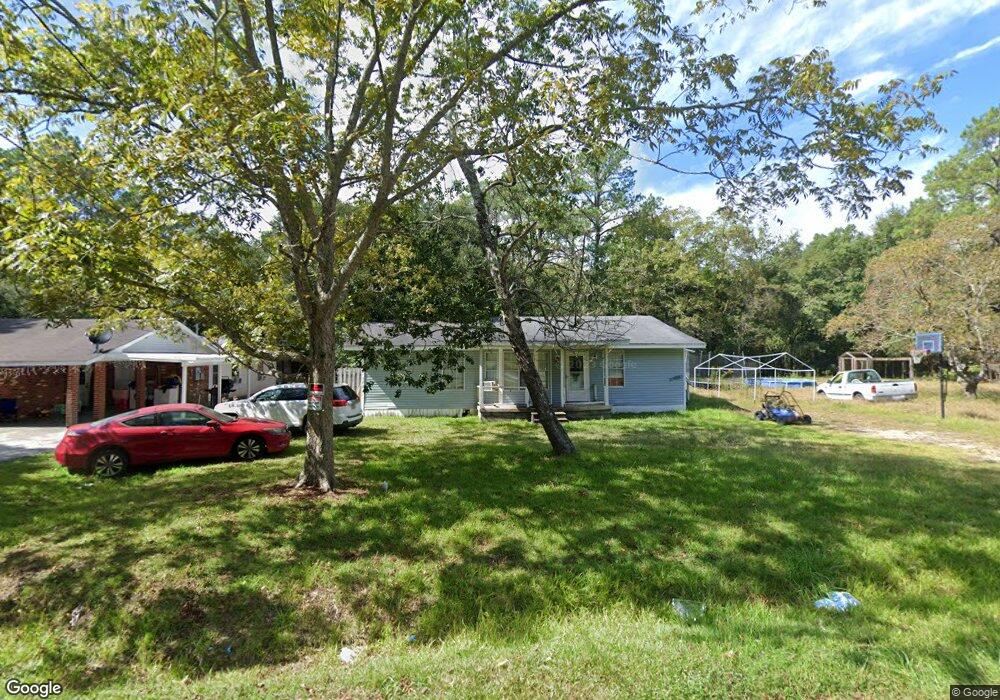
4613 Burns St Moss Point, MS 39563
Estimated Value: $77,000 - $114,000
Studio
2
Baths
1,462
Sq Ft
$65/Sq Ft
Est. Value
About This Home
This home is located at 4613 Burns St, Moss Point, MS 39563 and is currently estimated at $94,454, approximately $64 per square foot. 4613 Burns St is a home located in Jackson County with nearby schools including Kreole Primary Elementary School, Escatawpa Upper Elementary School, and Magnolia Middle School.
Ownership History
Date
Name
Owned For
Owner Type
Purchase Details
Closed on
Aug 8, 2024
Sold by
Blevins Holly Lynn
Bought by
Roisa Real State Investments Llc
Current Estimated Value
Home Financials for this Owner
Home Financials are based on the most recent Mortgage that was taken out on this home.
Original Mortgage
$27,000
Outstanding Balance
$10,494
Interest Rate
6.95%
Mortgage Type
New Conventional
Estimated Equity
$83,960
Purchase Details
Closed on
Dec 30, 2019
Sold by
Blevins Shadwick M and Blevins Brandon L
Bought by
Blevins Holly L
Create a Home Valuation Report for This Property
The Home Valuation Report is an in-depth analysis detailing your home's value as well as a comparison with similar homes in the area
Home Values in the Area
Average Home Value in this Area
Purchase History
| Date | Buyer | Sale Price | Title Company |
|---|---|---|---|
| Roisa Real State Investments Llc | -- | None Listed On Document | |
| Roisa Real State Investments Llc | -- | None Listed On Document | |
| Blevins Holly L | -- | None Available |
Source: Public Records
Mortgage History
| Date | Status | Borrower | Loan Amount |
|---|---|---|---|
| Open | Roisa Real State Investments Llc | $27,000 | |
| Closed | Roisa Real State Investments Llc | $27,000 |
Source: Public Records
Tax History
| Year | Tax Paid | Tax Assessment Tax Assessment Total Assessment is a certain percentage of the fair market value that is determined by local assessors to be the total taxable value of land and additions on the property. | Land | Improvement |
|---|---|---|---|---|
| 2025 | $1,190 | $6,932 | $590 | $6,342 |
| 2024 | $1,190 | $4,250 | $381 | $3,869 |
| 2023 | $528 | $4,250 | $381 | $3,869 |
| 2022 | $520 | $4,250 | $381 | $3,869 |
| 2021 | $526 | $4,288 | $381 | $3,907 |
| 2020 | $519 | $4,169 | $414 | $3,755 |
| 2019 | $1,028 | $6,254 | $621 | $5,633 |
| 2018 | $1,028 | $6,254 | $621 | $5,633 |
| 2017 | $1,024 | $6,254 | $621 | $5,633 |
| 2016 | $321 | $6,254 | $621 | $5,633 |
| 2015 | $321 | $41,600 | $4,140 | $37,460 |
| 2014 | $321 | $6,240 | $621 | $5,619 |
| 2013 | $321 | $6,240 | $621 | $5,619 |
Source: Public Records
Map
Nearby Homes
- 0 Martin St
- 8735 Old Stage Rd
- 0 Dye Ave
- 0 Lloyd St
- 4331 Kreole Ave
- 0 Mill St
- 4513 Mill St
- 02 Bayou Cumbest Rd
- 01 Bayou Cumbest Rd
- 04 Bayou Cumbest Rd
- 00 Bayou Cumbest Rd
- 7900 Highway 90
- 6519 Linda Cir
- 4337 Terrace Dr
- 0 Highway 90 Unit 4132408
- 4802 Tanner St
- 3907 Branch St
- 6112 Grierson St
- 3901 Camellia St
- 0 Highway 63 Hwy Unit 4047997
- 4607 Burns St
- 4624 Alemand St
- 4601 Burns St
- 4612 Burns St
- 4606 Burns St
- 4630 Alemand St
- 4624 Burns St
- 4630 Alemand St
- 7312 Mabry Ave
- 4513 Burns St
- 4613 Parkinson St
- 4607 Parkinson St
- 7325 Gregory St
- 0 Parkinson
- 7324 Mabry Ave
- 7313 Gregory St
- 7331 Gregory St
- 4506 Alemand St
- 4507 Allemand St
- 4500 Alemand St
Your Personal Tour Guide
Ask me questions while you tour the home.