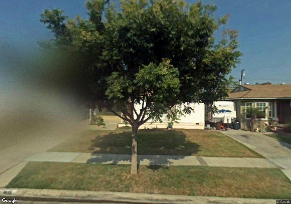
4613 Pixie Ave Lakewood, CA 90712
Lakewood Mutual NeighborhoodEstimated Value: $806,177 - $897,000
3
Beds
1
Bath
1,225
Sq Ft
$701/Sq Ft
Est. Value
About This Home
This home is located at 4613 Pixie Ave, Lakewood, CA 90712 and is currently estimated at $859,044, approximately $701 per square foot. 4613 Pixie Ave is a home located in Los Angeles County with nearby schools including James Madison Elementary School, Hoover Middle School, and Lakewood High School.
Ownership History
Date
Name
Owned For
Owner Type
Purchase Details
Closed on
Jan 20, 2015
Sold by
Sundstrom Daniel
Bought by
Daniel Sundstrom and Daniel Joann Sundstrom
Current Estimated Value
Purchase Details
Closed on
Jan 18, 2008
Sold by
Rostas Helen
Bought by
Sundstrom Daniel P
Home Financials for this Owner
Home Financials are based on the most recent Mortgage that was taken out on this home.
Original Mortgage
$200,000
Outstanding Balance
$125,783
Interest Rate
6.09%
Mortgage Type
Seller Take Back
Estimated Equity
$733,261
Create a Home Valuation Report for This Property
The Home Valuation Report is an in-depth analysis detailing your home's value as well as a comparison with similar homes in the area
Home Values in the Area
Average Home Value in this Area
Purchase History
| Date | Buyer | Sale Price | Title Company |
|---|---|---|---|
| Daniel Sundstrom | -- | None Available | |
| Sundstrom Daniel | -- | None Available | |
| Sundstrom Daniel P | $400,000 | Chicago Title Company |
Source: Public Records
Mortgage History
| Date | Status | Borrower | Loan Amount |
|---|---|---|---|
| Open | Sundstrom Daniel P | $200,000 |
Source: Public Records
Tax History
| Year | Tax Paid | Tax Assessment Tax Assessment Total Assessment is a certain percentage of the fair market value that is determined by local assessors to be the total taxable value of land and additions on the property. | Land | Improvement |
|---|---|---|---|---|
| 2025 | $6,983 | $525,389 | $394,046 | $131,343 |
| 2024 | $6,983 | $515,088 | $386,320 | $128,768 |
| 2023 | $6,867 | $504,990 | $378,746 | $126,244 |
| 2022 | $6,454 | $495,089 | $371,320 | $123,769 |
| 2021 | $6,328 | $485,383 | $364,040 | $121,343 |
| 2019 | $6,237 | $470,989 | $353,244 | $117,745 |
| 2018 | $6,026 | $461,755 | $346,318 | $115,437 |
| 2016 | $5,550 | $443,826 | $332,871 | $110,955 |
| 2015 | $5,333 | $437,160 | $327,871 | $109,289 |
| 2014 | $5,295 | $428,598 | $321,449 | $107,149 |
Source: Public Records
Map
Nearby Homes
- 4642 Vangold Ave
- 4745 Pixie Ave
- 2724 Fairman St
- 2803 Frankel St
- 2545 Loomis St
- 4318 Maybank Ave
- 4746 Obispo Ave
- 2902 Del Amo Blvd
- 2523 Eckleson St
- 2917 Del Amo Blvd
- 5018 Elderhall Ave
- 4168 Obispo Ave
- 4637 Falcon Ave
- 4508 Falcon Ave
- 2823 Hardwick St
- 2413 Denmead St
- 3202 Eckleson St
- 4201 Gardenia Ave
- 1709 E Luray St
- 4472 Gundry Ave
- 4609 Pixie Ave
- 4619 Pixie Ave
- 4623 Pixie Ave
- 4603 Pixie Ave
- 4648 Vangold Ave
- 4638 Vangold Ave
- 4652 Vangold Ave
- 4629 Pixie Ave
- 4549 Pixie Ave
- 4612 Pixie Ave
- 4608 Pixie Ave
- 4618 Pixie Ave
- 4602 Pixie Ave
- 4656 Vangold Ave
- 4626 Vangold Ave
- 4633 Pixie Ave
- 4543 Pixie Ave
- 4548 Pixie Ave
- 4628 Pixie Ave
- 4662 Vangold Ave
Your Personal Tour Guide
Ask me questions while you tour the home.