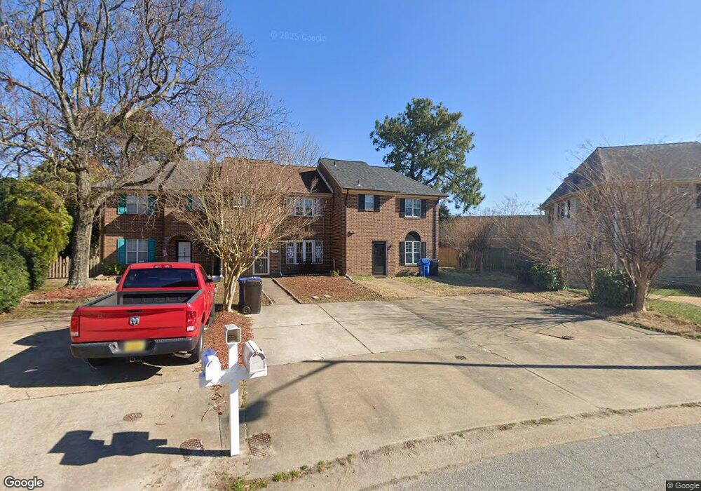
4614 Truman Ln Virginia Beach, VA 23455
Bayside NeighborhoodEstimated Value: $274,000 - $321,183
3
Beds
3
Baths
1,530
Sq Ft
$195/Sq Ft
Est. Value
About This Home
This home is located at 4614 Truman Ln, Virginia Beach, VA 23455 and is currently estimated at $299,046, approximately $195 per square foot. 4614 Truman Ln is a home located in Virginia Beach City with nearby schools including Thoroughgood Elementary School, Independence Middle School, and Bayside High School.
Ownership History
Date
Name
Owned For
Owner Type
Purchase Details
Closed on
Apr 29, 2024
Sold by
Samuel I White Pc
Bought by
Reliant Trust and Wilmington Svg Fund Society F
Current Estimated Value
Purchase Details
Closed on
Jun 12, 2023
Sold by
Doshi Nikita Kinchit
Bought by
Jai Maa Properties Llc
Purchase Details
Closed on
May 10, 2023
Sold by
Hpp Property Llc
Bought by
Doshi Nikita Kinchit
Purchase Details
Closed on
Feb 23, 2023
Sold by
Samuel I White Pc
Bought by
Hpp Property Llc
Create a Home Valuation Report for This Property
The Home Valuation Report is an in-depth analysis detailing your home's value as well as a comparison with similar homes in the area
Home Values in the Area
Average Home Value in this Area
Purchase History
| Date | Buyer | Sale Price | Title Company |
|---|---|---|---|
| Reliant Trust | $260,000 | None Listed On Document | |
| Jai Maa Properties Llc | -- | None Listed On Document | |
| Doshi Nikita Kinchit | $234,000 | Fidelity National Title | |
| Hpp Property Llc | $260,000 | -- |
Source: Public Records
Tax History Compared to Growth
Tax History
| Year | Tax Paid | Tax Assessment Tax Assessment Total Assessment is a certain percentage of the fair market value that is determined by local assessors to be the total taxable value of land and additions on the property. | Land | Improvement |
|---|---|---|---|---|
| 2025 | $2,532 | $270,000 | $87,000 | $183,000 |
| 2024 | $2,532 | $261,000 | $83,000 | $178,000 |
| 2023 | $2,278 | $230,100 | $76,000 | $154,100 |
| 2022 | $2,163 | $218,500 | $71,000 | $147,500 |
| 2021 | $1,977 | $199,700 | $64,000 | $135,700 |
| 2020 | $1,972 | $193,800 | $61,000 | $132,800 |
| 2019 | $1,872 | $175,400 | $61,000 | $114,400 |
| 2018 | $1,758 | $175,400 | $61,000 | $114,400 |
| 2017 | $1,834 | $182,900 | $61,000 | $121,900 |
| 2016 | $0 | $186,000 | $61,000 | $125,000 |
| 2015 | $908 | $183,500 | $61,000 | $122,500 |
| 2014 | -- | $171,200 | $68,500 | $102,700 |
Source: Public Records
Map
Nearby Homes
- 904 Ewell Rd
- 1020 Miles Standish Rd
- 1040 Patrick Henry Way
- 1025 Walt Whitman Way
- 1029 Ferry Plantation Rd
- 4660 Copperfield Rd
- 4712 White House Ln
- 1121 Witchgate Ct
- 1001 Ferry Plantation Rd
- 1228 Captain Adams Ct
- 4833 Linshaw Ln
- 840 Five Forks Rd
- 933 Ferry Plantation Rd
- 1364 Sir Richard Rd
- 868 Rodin Ln
- 828 de La Fayette Ct
- 4712 Crossborough Rd
- 4909 Westgrove Rd Unit X0837
- 1448 Iredell Ct
- 4401 N Witchduck Rd