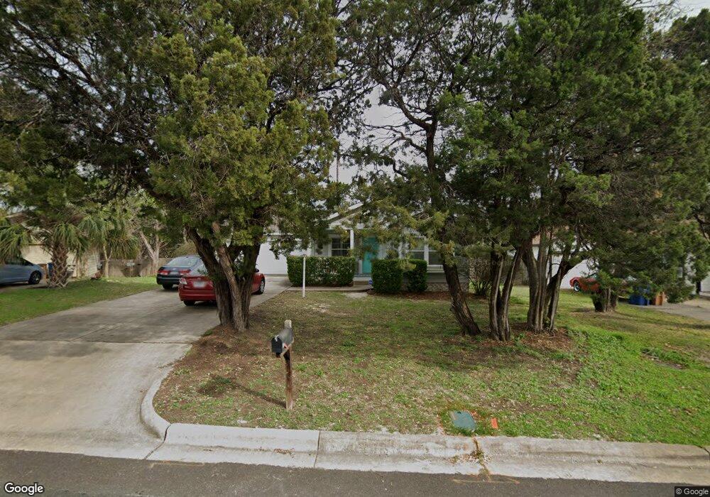
4615 Cedar Point Dr Austin, TX 78723
East MLK NeighborhoodEstimated Value: $421,648 - $671,000
Studio
2
Baths
1,131
Sq Ft
$464/Sq Ft
Est. Value
About This Home
This home is located at 4615 Cedar Point Dr, Austin, TX 78723 and is currently estimated at $524,883, approximately $464 per square foot. 4615 Cedar Point Dr is a home located in Travis County with nearby schools including Blanton Elementary School, Lamar Middle School, and Northeast Early College High School (Formerly Reagan High School).
Ownership History
Date
Name
Owned For
Owner Type
Purchase Details
Closed on
Jun 20, 2003
Sold by
The Devonshire Park Lp
Bought by
Olson Kristine M
Current Estimated Value
Home Financials for this Owner
Home Financials are based on the most recent Mortgage that was taken out on this home.
Original Mortgage
$118,047
Outstanding Balance
$50,433
Interest Rate
5.44%
Mortgage Type
FHA
Estimated Equity
$474,450
Create a Home Valuation Report for This Property
The Home Valuation Report is an in-depth analysis detailing your home's value as well as a comparison with similar homes in the area
Home Values in the Area
Average Home Value in this Area
Purchase History
| Date | Buyer | Sale Price | Title Company |
|---|---|---|---|
| Olson Kristine M | -- | -- |
Source: Public Records
Mortgage History
| Date | Status | Borrower | Loan Amount |
|---|---|---|---|
| Open | Olson Kristine M | $118,047 | |
| Closed | Olson Kristine M | $6,000 |
Source: Public Records
Tax History
| Year | Tax Paid | Tax Assessment Tax Assessment Total Assessment is a certain percentage of the fair market value that is determined by local assessors to be the total taxable value of land and additions on the property. | Land | Improvement |
|---|---|---|---|---|
| 2025 | $6,302 | $412,539 | -- | -- |
| 2023 | $5,779 | $340,941 | -- | -- |
| 2022 | $6,121 | $309,946 | $0 | $0 |
| 2021 | $6,133 | $281,769 | $200,000 | $186,836 |
| 2020 | $5,494 | $256,154 | $200,000 | $146,966 |
| 2018 | $4,687 | $211,697 | $200,000 | $133,777 |
| 2017 | $4,292 | $192,452 | $150,000 | $150,525 |
| 2016 | $3,902 | $174,956 | $100,000 | $120,202 |
| 2015 | $3,084 | $159,051 | $100,000 | $123,030 |
| 2014 | $3,084 | $144,592 | $0 | $0 |
Source: Public Records
Map
Nearby Homes
- 2903 Lovell Dr
- 4806 Pecan Springs Rd
- 4902 Pecan Springs Rd
- 3501 Pecan Springs Rd
- 3500 Pecan Springs Rd Unit 16
- 3500 Pecan Springs Rd Unit 9
- 3600 Tom Miller St Unit 2
- 3108 E 51st St Unit 203
- 3108 E 51st St Unit 601
- 4801 Springdale Rd Unit 2410
- 4801 Springdale Rd Unit 1107
- 4801 Springdale Rd Unit 1106
- 4801 Springdale Rd Unit 1401
- 3112 Chennault St
- 3504 Tom Miller St Unit A
- 4901 Springdale Rd Unit 106
- 4901 Springdale Rd Unit 103
- 4015 Margarita St
- 4101 Margarita St
- 3006 Sorin St
- 4613 Cedar Point Dr
- 4617 Cedar Point Dr
- 4611 Cedar Point Dr
- 3010 Shady Park Dr
- 4612 Cedar Point Dr
- 4610 Cedar Point Dr
- 3008 Shady Park Dr
- 4632 Marlo Dr
- 4608 Cedar Point Dr
- 4626 Marlo Dr
- 4609 Cedar Point Dr
- 4612 Marlo Dr
- 3006 Shady Park Dr
- 4606 Cedar Point Dr
- 4624 Marlo Dr
- 4634 Marlo Dr
- 4607 Cedar Point Dr
- 4604 Cedar Point Dr
- 3004 Shady Park Dr
- 4611 Windy Brook Dr
Your Personal Tour Guide
Ask me questions while you tour the home.