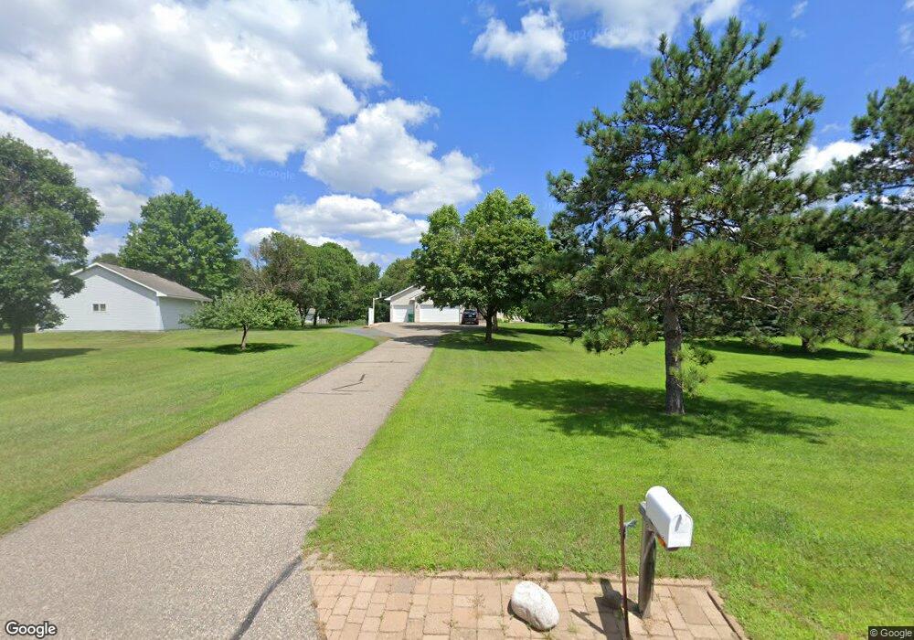
4617 200th Ln NE Wyoming, MN 55092
Estimated Value: $426,000 - $470,000
3
Beds
2
Baths
1,242
Sq Ft
$364/Sq Ft
Est. Value
About This Home
This home is located at 4617 200th Ln NE, Wyoming, MN 55092 and is currently estimated at $451,996, approximately $363 per square foot. 4617 200th Ln NE is a home located in Anoka County with nearby schools including Linwood Elementary School, Forest Lake Area High School, and Star Of The North Academy Charter School.
Ownership History
Date
Name
Owned For
Owner Type
Purchase Details
Closed on
Nov 30, 1999
Sold by
Mt Construction
Bought by
Bridgeman Kenneth and Bridgeman Charlene M
Current Estimated Value
Purchase Details
Closed on
Jan 13, 1999
Sold by
Hennen Anthony L and Hennen Jody
Bought by
Mahoney Todd
Purchase Details
Closed on
Jan 26, 1998
Sold by
Evans Daniel and Evans Linda
Bought by
Hennen Anthony L
Purchase Details
Closed on
Dec 18, 1997
Sold by
Spruce Meadows Development Co
Bought by
Evans Daniel and Evans Linda
Create a Home Valuation Report for This Property
The Home Valuation Report is an in-depth analysis detailing your home's value as well as a comparison with similar homes in the area
Home Values in the Area
Average Home Value in this Area
Purchase History
| Date | Buyer | Sale Price | Title Company |
|---|---|---|---|
| Bridgeman Kenneth | $165,900 | -- | |
| Mahoney Todd | $37,900 | -- | |
| Hennen Anthony L | $31,800 | -- | |
| Evans Daniel | $260,000 | -- |
Source: Public Records
Tax History Compared to Growth
Tax History
| Year | Tax Paid | Tax Assessment Tax Assessment Total Assessment is a certain percentage of the fair market value that is determined by local assessors to be the total taxable value of land and additions on the property. | Land | Improvement |
|---|---|---|---|---|
| 2025 | $3,727 | $409,000 | $115,500 | $293,500 |
| 2024 | $3,685 | $379,800 | $87,300 | $292,500 |
| 2023 | $3,593 | $389,200 | $85,800 | $303,400 |
| 2022 | $3,532 | $383,500 | $78,400 | $305,100 |
| 2021 | $3,501 | $327,100 | $68,200 | $258,900 |
| 2020 | $3,427 | $309,300 | $61,500 | $247,800 |
| 2019 | $3,344 | $290,000 | $51,100 | $238,900 |
| 2018 | $3,052 | $271,200 | $0 | $0 |
| 2017 | $2,872 | $259,700 | $0 | $0 |
| 2016 | $2,749 | $218,400 | $0 | $0 |
| 2015 | $2,516 | $218,400 | $44,700 | $173,700 |
| 2014 | -- | $190,900 | $37,500 | $153,400 |
Source: Public Records
Map
Nearby Homes
- 20136 Erskine St NE
- 5160 202nd Ln NE
- 4310 Channel Ln NE
- 21061 Kissel St NE
- 21087 National St NE
- 20826 Austin St NE
- XXXX 80th St N
- 20715 Minnie B Grant Ln NE
- xxx Birch Rd
- 21057 Tippecanoe St NE
- 426 Birch Rd
- 20852 Okinawa St NE
- 19479 Leyte St NE
- 21207 Tippecanoe St NE
- 21205 Viking Blvd NE
- xxxx Alamo St
- lot 3 217th Ave NE
- 21933 Edison St NE
- LOT 2 217th Ave NE
- lot 1 217th Ave NE
- 4653 200th Ln NE
- 4609 200th Ln NE
- 4610 200th Ln NE
- 4585 200th Ln NE
- 4667 200th Ln NE
- 4630 200th Ln NE
- 4642 200th Ln NE
- 4689 200th Ln NE
- 4570 200th Ln NE
- 4553 200th Ln NE
- 4678 200th Ln NE
- 4546 200th Ln NE
- 4684 200th Ln NE
- 4525 200th Ln NE
- 20018 Wild Rice Dr NE
- 20104 Marmon St NE
- 4528 200th Ln NE
- 19916 Wild Rice Dr NE
- 19892 Wild Rice Dr NE
- 19966 Wild Rice Dr NE