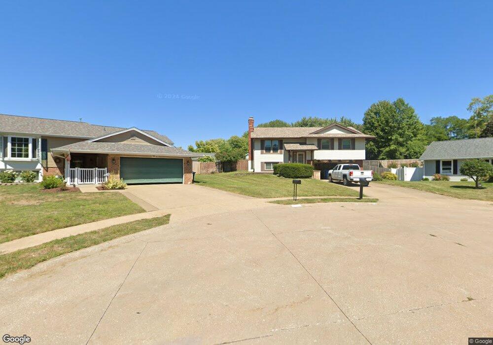
4617 Ashcraft Ct Davenport, IA 52806
North Side NeighborhoodEstimated Value: $234,000 - $281,000
3
Beds
3
Baths
1,220
Sq Ft
$208/Sq Ft
Est. Value
About This Home
This home is located at 4617 Ashcraft Ct, Davenport, IA 52806 and is currently estimated at $253,739, approximately $207 per square foot. 4617 Ashcraft Ct is a home located in Scott County with nearby schools including Cumberland Hall School, Harrison Elementary School, and Academy Of Continuing Education.
Ownership History
Date
Name
Owned For
Owner Type
Purchase Details
Closed on
Aug 7, 2007
Sold by
Simms Carl E and Simms Nancy J
Bought by
Simms Christopher L
Current Estimated Value
Home Financials for this Owner
Home Financials are based on the most recent Mortgage that was taken out on this home.
Original Mortgage
$32,500
Interest Rate
6.79%
Mortgage Type
New Conventional
Create a Home Valuation Report for This Property
The Home Valuation Report is an in-depth analysis detailing your home's value as well as a comparison with similar homes in the area
Home Values in the Area
Average Home Value in this Area
Purchase History
| Date | Buyer | Sale Price | Title Company |
|---|---|---|---|
| Simms Christopher L | $32,500 | None Available |
Source: Public Records
Mortgage History
| Date | Status | Borrower | Loan Amount |
|---|---|---|---|
| Closed | Simms Christopher L | $32,500 |
Source: Public Records
Tax History Compared to Growth
Tax History
| Year | Tax Paid | Tax Assessment Tax Assessment Total Assessment is a certain percentage of the fair market value that is determined by local assessors to be the total taxable value of land and additions on the property. | Land | Improvement |
|---|---|---|---|---|
| 2025 | $3,398 | $217,520 | $32,270 | $185,250 |
| 2024 | $3,308 | $208,800 | $32,270 | $176,530 |
| 2023 | $3,816 | $208,800 | $32,270 | $176,530 |
| 2022 | $3,832 | $190,940 | $29,460 | $161,480 |
| 2021 | $3,832 | $190,940 | $29,460 | $161,480 |
| 2020 | $3,482 | $172,410 | $29,460 | $142,950 |
| 2019 | $3,366 | $161,820 | $29,460 | $132,360 |
| 2018 | $2,998 | $161,820 | $29,460 | $132,360 |
| 2017 | $3,110 | $148,590 | $29,460 | $119,130 |
| 2016 | $2,990 | $148,590 | $0 | $0 |
| 2015 | $2,990 | $148,280 | $0 | $0 |
| 2014 | $3,026 | $148,280 | $0 | $0 |
| 2013 | $2,968 | $0 | $0 | $0 |
| 2012 | -- | $133,620 | $29,040 | $104,580 |
Source: Public Records
Map
Nearby Homes
- 4618 Fillmore Ln
- 4757 Willow Cir
- 4743 Willow Cir
- 4612 Warren St Unit 5
- 4804 Northwest Blvd
- 4705 N Sturdevant St
- 4449 Royal Oaks Dr
- 1453 W 41st St
- 7 Vista Ct
- 825 Northbrook Dr
- 4942 Brown St
- 5210 N Division St
- 710 Northbrook Dr
- 1336 W 38th Place
- 611 Northbrook Dr
- 1517 W Kimberly Rd
- 1729 Welshire Dr
- 405 Westerfield Rd
- 4132 Rodeo Rd
- 3831 N Sturdevant St
- 4613 Ashcraft Ct
- 1327 W 47th Ct
- 4618 Ashcraft Ct
- 1323 W 47th Ct
- 4609 Ashcraft Ct
- 4614 Ashcraft Ct
- 1331 W 47th Ct
- 4620 Marquette St
- 4630 Marquette St
- 1332 W 46th St
- 1316 W 46th St
- 1343 W 47th Ct
- 1319 W 47th Ct
- 4604 Marquette St
- 4609 Fillmore Ct
- 4617 Fillmore Ct
- 4603 Fillmore Ct
- 1308 W 46th St
- 1347 W 47th Ct
- 1324 W 47th Ct