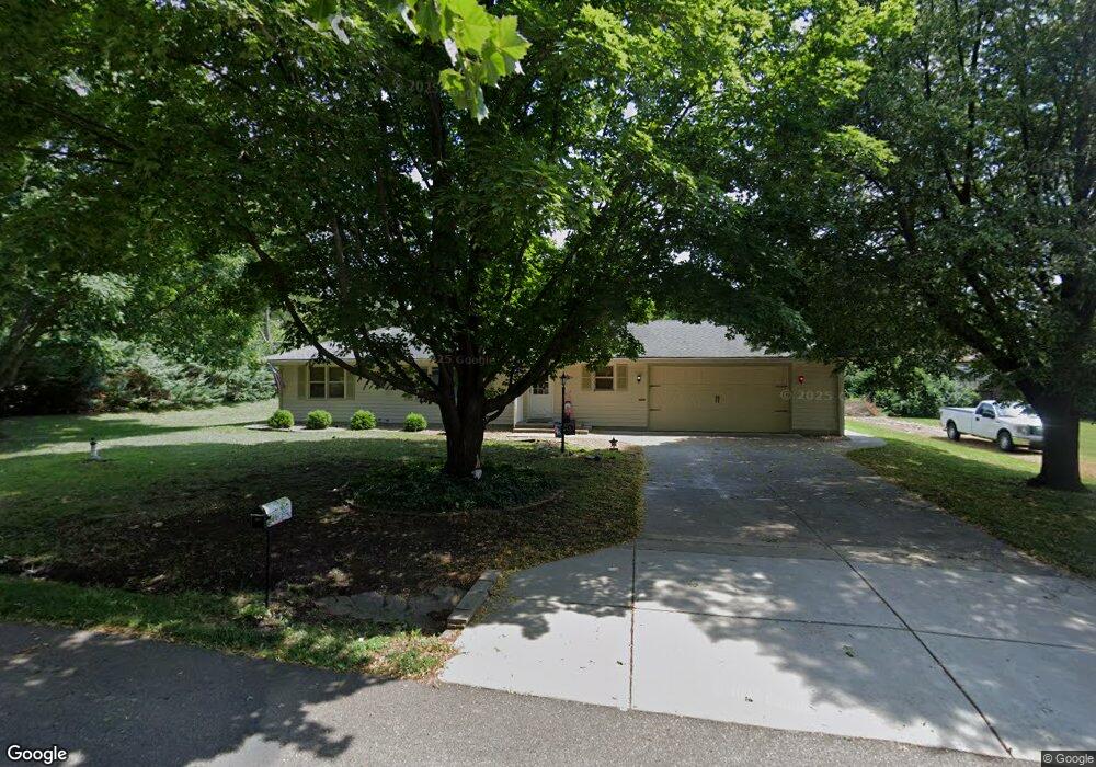
4617 SW 9th St Topeka, KS 66606
West Topeka NeighborhoodEstimated Value: $221,000 - $237,017
3
Beds
2
Baths
1,584
Sq Ft
$144/Sq Ft
Est. Value
About This Home
This home is located at 4617 SW 9th St, Topeka, KS 66606 and is currently estimated at $227,754, approximately $143 per square foot. 4617 SW 9th St is a home located in Shawnee County with nearby schools including McCarter Elementary School, Landon Middle School, and Topeka West High School.
Ownership History
Date
Name
Owned For
Owner Type
Purchase Details
Closed on
Apr 29, 2019
Sold by
Reedy Diana L and Reedy Kenny
Bought by
Mick Randy L and Mick Marie V
Current Estimated Value
Home Financials for this Owner
Home Financials are based on the most recent Mortgage that was taken out on this home.
Original Mortgage
$139,455
Outstanding Balance
$122,856
Interest Rate
4.3%
Mortgage Type
VA
Estimated Equity
$104,898
Purchase Details
Closed on
Sep 16, 2009
Sold by
Roberts Mark L and Roberts Karen N
Bought by
Mitchell Diana L
Create a Home Valuation Report for This Property
The Home Valuation Report is an in-depth analysis detailing your home's value as well as a comparison with similar homes in the area
Home Values in the Area
Average Home Value in this Area
Purchase History
| Date | Buyer | Sale Price | Title Company |
|---|---|---|---|
| Mick Randy L | -- | Kansas Secured Ttl Inc Topek | |
| Mitchell Diana L | -- | Capital Title Insurance Comp |
Source: Public Records
Mortgage History
| Date | Status | Borrower | Loan Amount |
|---|---|---|---|
| Open | Mick Randy L | $139,455 |
Source: Public Records
Tax History Compared to Growth
Tax History
| Year | Tax Paid | Tax Assessment Tax Assessment Total Assessment is a certain percentage of the fair market value that is determined by local assessors to be the total taxable value of land and additions on the property. | Land | Improvement |
|---|---|---|---|---|
| 2025 | $2,989 | $21,655 | -- | -- |
| 2023 | $2,989 | $20,814 | $0 | $0 |
| 2022 | $2,782 | $18,584 | $0 | $0 |
| 2021 | $2,563 | $16,301 | $0 | $0 |
| 2020 | $2,412 | $15,525 | $0 | $0 |
| 2019 | $1,999 | $12,843 | $0 | $0 |
| 2018 | $1,942 | $12,469 | $0 | $0 |
| 2017 | $1,907 | $12,224 | $0 | $0 |
| 2014 | $1,891 | $12,224 | $0 | $0 |
Source: Public Records
Map
Nearby Homes
- 1042 SW Amhurst Ct
- 1100 SW Amhurst Ct
- Lot 4 & .5 of 3 SW Balmoral Ln
- Lot 2 SW Balmoral Ln Unit and east 1/2 of Lot
- Lot 17 SW Balmoral Ln
- 613 SW Grand Ct
- 741 SW Mifflin Rd
- 5452 SW 12th Terrace Unit 3
- 5639 SW West Dr
- 1019 SW Exmoor Ln Unit Tract 17
- 1023 SW Exmoor Ln Unit Tract 16
- 1212 SW New Forest Dr
- 5618 SW 14th St
- 1274 SW Indian Trail Ct
- 5518 SW Avalon Ln
- 1053 SW Harvey St
- 1306 SW Glendale Dr
- 5802 SW Sterling Ln
- 906 SW Gage Blvd
- 1421 SW Mcalister Ave
- 4617 SW 9th St
- 920 SW Meadow Ln
- 4625 SW 9th St
- 901 SW Grand Ct
- 4616 SW 9th St
- 921 SW Meadow Ln
- 926 SW Meadow Ln
- 4624 SW 9th St
- 927 SW Meadow Ln
- 4616 SW 10th Ave
- 902 SW Fairlawn Rd
- 829 SW Grand Ct
- 4618 SW 10th Ave
- 4618 SW 10th Ave
- 910 SW Fairlawn Rd
- 5100 SW 10th Ave
- 4630 SW 9th St
- 825 SW Grand Ct
- 935 SW Grand Ct
- 900 SW Grand Ct