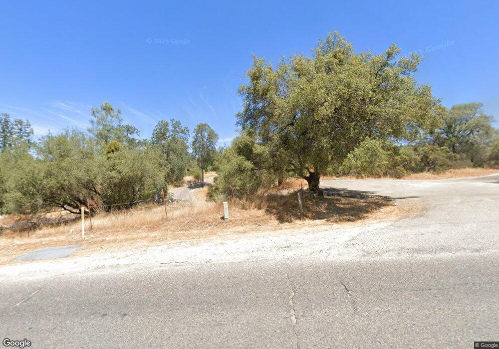
46175 Road 417 Coarsegold, CA 93614
Estimated Value: $377,943 - $442,000
3
Beds
2
Baths
1,602
Sq Ft
$254/Sq Ft
Est. Value
About This Home
This home is located at 46175 Road 417, Coarsegold, CA 93614 and is currently estimated at $406,986, approximately $254 per square foot. 46175 Road 417 is a home located in Madera County.
Ownership History
Date
Name
Owned For
Owner Type
Purchase Details
Closed on
Aug 15, 2002
Sold by
Levashoff Kathryn Ann and Levashoff Andrew George
Bought by
Levashoff Andrew George and Levashoff Kathryn Ann
Current Estimated Value
Home Financials for this Owner
Home Financials are based on the most recent Mortgage that was taken out on this home.
Original Mortgage
$161,500
Interest Rate
6.52%
Purchase Details
Closed on
Feb 2, 2002
Sold by
Levashoff Andrew G and Levashoff Kathryn A
Bought by
Levashoff Andrew George and Levashoff Kathryn Ann
Create a Home Valuation Report for This Property
The Home Valuation Report is an in-depth analysis detailing your home's value as well as a comparison with similar homes in the area
Home Values in the Area
Average Home Value in this Area
Purchase History
| Date | Buyer | Sale Price | Title Company |
|---|---|---|---|
| Levashoff Andrew George | -- | Financial Title Company | |
| Levashoff Andrew George | -- | Financial Title Company | |
| Levashoff Andrew George | -- | -- |
Source: Public Records
Mortgage History
| Date | Status | Borrower | Loan Amount |
|---|---|---|---|
| Closed | Levashoff Andrew George | $161,500 |
Source: Public Records
Tax History Compared to Growth
Tax History
| Year | Tax Paid | Tax Assessment Tax Assessment Total Assessment is a certain percentage of the fair market value that is determined by local assessors to be the total taxable value of land and additions on the property. | Land | Improvement |
|---|---|---|---|---|
| 2025 | $2,454 | $252,478 | $66,433 | $186,045 |
| 2023 | $2,454 | $242,676 | $63,854 | $178,822 |
| 2022 | $2,396 | $237,918 | $62,602 | $175,316 |
| 2021 | $2,345 | $233,254 | $61,375 | $171,879 |
| 2020 | $2,335 | $230,863 | $60,746 | $170,117 |
| 2019 | $2,291 | $226,337 | $59,555 | $166,782 |
| 2018 | $2,239 | $221,900 | $58,388 | $163,512 |
| 2017 | $2,203 | $217,550 | $57,244 | $160,306 |
| 2016 | $2,126 | $213,285 | $56,122 | $157,163 |
| 2015 | $2,092 | $210,082 | $55,279 | $154,803 |
| 2014 | $2,060 | $205,968 | $54,197 | $151,771 |
Source: Public Records
Map
Nearby Homes
- 46103 Safari World Dr
- 33067 Blue Vista Ct
- 31678 Buck Run Ln
- 47165 Modoc Rd
- 46320 Oonay Nation Rd
- 47207 Navajo Ave
- 31623 Buck Run Ln
- 32413 Chickasaw Rd
- 0 Chickasaw Rd
- 46828 Skyline Ridge Rd
- 46304 Skyline Ridge Rd
- 47571 Modoc Rd
- 31229 Rolling Meadow Ct
- 45740 Green Lake Ct
- 31331 Hogans Mountain Rd
- 47651 Klamath Ave
- 31364 Quartz Mountain Rd
- 46474 Longview Ln W
- 44786 Spring Hill Rd
- 31076 Hogans Mountain Rd
- 46199 Road 417
- 46211 Road 417
- 32323 Big Sandy Dr
- 46232 Road 417
- 46255 Road 417
- 46258 Road 417
- 32267 Big Sandy Dr
- 46109 Road 417
- 32233 Big Sandy Dr
- 32282 Big Sandy Dr
- 46284 Road 417
- 46084 Road 417
- 46283 Road 417
- 46187 Pickens Place
- 46319 Road 417
- 32207 Big Sandy Dr
- 46064 Road 417
- 32206 Big Sandy Dr
- 46129 Pickens Place
- 32417 Picayune Creek Ct
