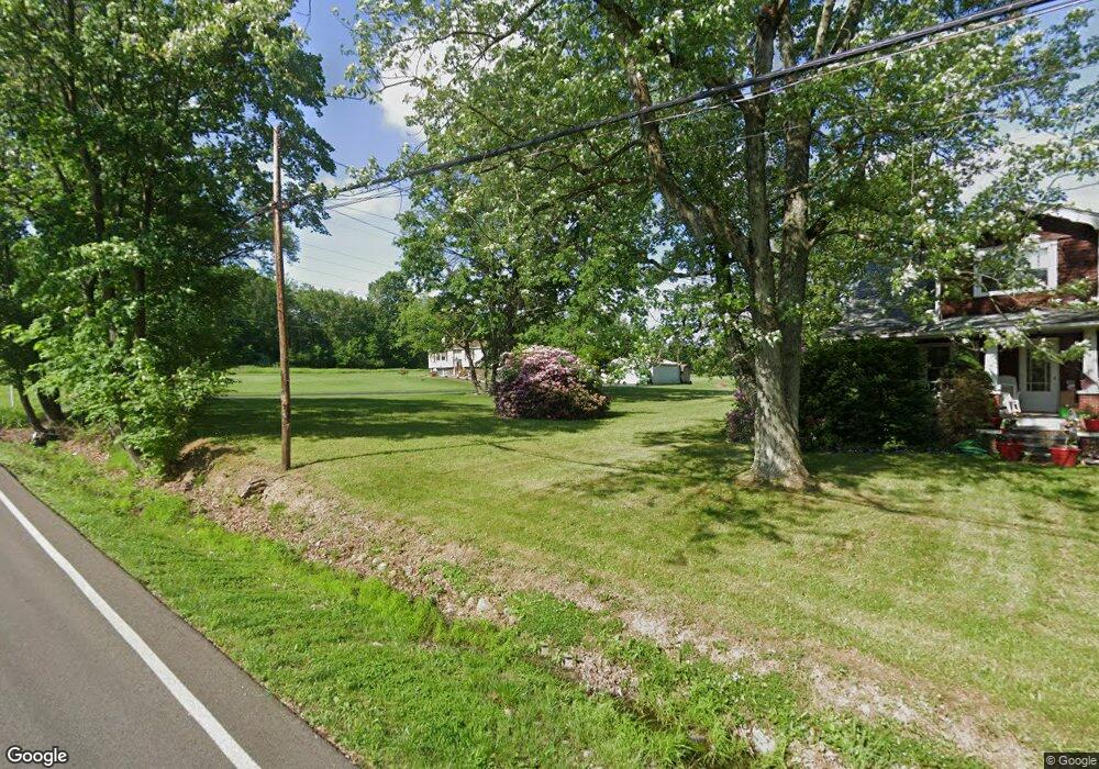
4618 Dale St Norton, OH 44203
Hametown Neighborhood
--
Bed
--
Bath
--
Sq Ft
33.7
Acres
About This Home
This home is located at 4618 Dale St, Norton, OH 44203. 4618 Dale St is a home located in Summit County with nearby schools including Norton Primary Elementary School, Norton Middle School, and Norton High School.
Ownership History
Date
Name
Owned For
Owner Type
Purchase Details
Closed on
Jul 13, 2012
Sold by
Bennett Family Enterprises Ltd
Bought by
Metro Parks Serving Summit County
Purchase Details
Closed on
Sep 16, 1994
Sold by
Rondy James A
Bought by
Henry Christine
Home Financials for this Owner
Home Financials are based on the most recent Mortgage that was taken out on this home.
Original Mortgage
$64,000
Interest Rate
8.44%
Mortgage Type
New Conventional
Create a Home Valuation Report for This Property
The Home Valuation Report is an in-depth analysis detailing your home's value as well as a comparison with similar homes in the area
Home Values in the Area
Average Home Value in this Area
Purchase History
| Date | Buyer | Sale Price | Title Company |
|---|---|---|---|
| Metro Parks Serving Summit County | -- | Fidelity Title Insurance Co | |
| Henry Christine | $80,000 | -- |
Source: Public Records
Mortgage History
| Date | Status | Borrower | Loan Amount |
|---|---|---|---|
| Previous Owner | Henry Christine | $64,000 |
Source: Public Records
Tax History Compared to Growth
Tax History
| Year | Tax Paid | Tax Assessment Tax Assessment Total Assessment is a certain percentage of the fair market value that is determined by local assessors to be the total taxable value of land and additions on the property. | Land | Improvement |
|---|---|---|---|---|
| 2025 | -- | $144,508 | $144,508 | -- |
| 2024 | -- | $144,508 | $144,508 | -- |
| 2023 | -- | $144,508 | $144,508 | $0 |
| 2022 | -- | $144,508 | $144,508 | $0 |
| 2021 | $0 | $144,508 | $144,508 | $0 |
| 2020 | $0 | $144,510 | $144,510 | $0 |
| 2019 | $2,098 | $40,850 | $40,850 | $0 |
| 2018 | $0 | $40,850 | $40,850 | $0 |
| 2017 | $0 | $40,850 | $40,850 | $0 |
| 2016 | $0 | $40,850 | $40,850 | $0 |
| 2015 | $2,349 | $40,850 | $40,850 | $0 |
| 2014 | $2,349 | $40,850 | $40,850 | $0 |
| 2013 | $2,349 | $40,850 | $40,850 | $0 |
Source: Public Records
Map
Nearby Homes
- 3978 Bushey Ave
- 3918 Bushey Ave
- 4636 Albert St
- 4666 Roop Ave
- 3732 Alumina Dr
- Birch w/ Basement Plan at Brookside Greens - 2-Story
- Aspen w/ Basement Plan at Brookside Greens - 2-Story
- Elder w/ Basement Plan at Brookside Greens - 2-Story
- Cedar w/ Basement Plan at Brookside Greens - 2-Story
- 3923 Higgins Dr
- 3492 Johnson Rd
- 362 Silver Meadow Dr
- 3738 Kirkham Dr
- 957 Devonwood Dr Unit 15
- 878 Longbrook Dr
- 4568 Krancz Dr
- 202 37th St SW
- 1638 Harden Dr
- 0 Silvercreek Rd
- 3433 Greenwich Rd