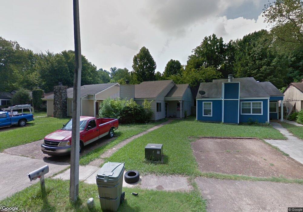
4619 Buffer Dr Memphis, TN 38128
Raleigh NeighborhoodEstimated Value: $109,000 - $162,000
3
Beds
2
Baths
1,448
Sq Ft
$92/Sq Ft
Est. Value
About This Home
This home is located at 4619 Buffer Dr, Memphis, TN 38128 and is currently estimated at $132,691, approximately $91 per square foot. 4619 Buffer Dr is a home located in Shelby County with nearby schools including Raleigh-Bartlett Meadows School, Craigmont Middle School, and Craigmont High School.
Ownership History
Date
Name
Owned For
Owner Type
Purchase Details
Closed on
Mar 17, 2008
Sold by
Couloubaritsis Jerry
Bought by
Couloubaritsis George and Couloubaritsis Jerry
Current Estimated Value
Purchase Details
Closed on
Aug 1, 2006
Sold by
Lane Thelma
Bought by
Couloubaritsis Jerry
Purchase Details
Closed on
Jun 30, 1998
Sold by
Leslie Wooten and Leslie Luella H
Bought by
Lane Thelma
Home Financials for this Owner
Home Financials are based on the most recent Mortgage that was taken out on this home.
Original Mortgage
$60,861
Interest Rate
7.1%
Purchase Details
Closed on
Jan 18, 1995
Bought by
Leslie and Leslie Luella
Create a Home Valuation Report for This Property
The Home Valuation Report is an in-depth analysis detailing your home's value as well as a comparison with similar homes in the area
Home Values in the Area
Average Home Value in this Area
Purchase History
| Date | Buyer | Sale Price | Title Company |
|---|---|---|---|
| Couloubaritsis George | -- | None Available | |
| Couloubaritsis Jerry | $12,247 | None Available | |
| Lane Thelma | $60,000 | Lawyers Title Insurance Corp | |
| Lane Thelma | $60,000 | Lawyers Title Insurance Corp | |
| Leslie | $46,744 | -- |
Source: Public Records
Mortgage History
| Date | Status | Borrower | Loan Amount |
|---|---|---|---|
| Previous Owner | Lane Thelma | $60,861 |
Source: Public Records
Tax History
| Year | Tax Paid | Tax Assessment Tax Assessment Total Assessment is a certain percentage of the fair market value that is determined by local assessors to be the total taxable value of land and additions on the property. | Land | Improvement |
|---|---|---|---|---|
| 2025 | $689 | $32,500 | $2,250 | $30,250 |
| 2024 | $689 | $20,325 | $2,025 | $18,300 |
| 2023 | $1,238 | $20,325 | $2,025 | $18,300 |
| 2022 | $1,238 | $20,325 | $2,025 | $18,300 |
| 2021 | $1,253 | $20,325 | $2,025 | $18,300 |
| 2020 | $1,087 | $15,000 | $2,025 | $12,975 |
| 2019 | $1,087 | $15,000 | $2,025 | $12,975 |
| 2018 | $1,087 | $15,000 | $2,025 | $12,975 |
| 2017 | $730 | $17,750 | $2,025 | $15,725 |
| 2016 | $603 | $13,800 | $0 | $0 |
| 2014 | $603 | $13,800 | $0 | $0 |
Source: Public Records
Map
Nearby Homes
- 0 Coleman Rd
- 4564 Stage Rd
- 4689 Raleigh Lagrange Rd
- 4757 Northfield Cir
- 0 Stage Rd Unit 10201799
- 4390 Kamali Ct
- 2624 Courtney Dr
- 2568 Parkview Dr
- 3065 Earnett St
- 4480 Tanbark Ave
- 4521 Lockwood Cove
- 3083 Darby St
- 0 Raleigh Millington Rd
- 2635 Bay Pointe Cir W
- 3179 Coleman Rd
- 2725 Covington Pike
- 3217 Joslyn St
- 4850 Stage Rd
- 3313 Earl Dr
- 4795 Rolling Meadows Dr
- 4623 Buffer Dr
- 4615 Buffer Dr
- 4627 Buffer Dr
- 4611 Buffer Dr
- 4607 Buffer Dr
- 4631 Buffer Dr
- 4603 Buffer Dr
- 4635 Buffer Dr
- 4599 Buffer Dr
- 4639 Buffer Dr
- 4595 Buffer Dr
- 2832 Fargo Rd
- 4591 Buffer Dr
- 2833 Fargo Rd
- 4587 Buffer Dr
- 2840 Fargo Rd
- 2800 Toehill Cove
- 4587 Matt Cove
- 4583 Buffer Dr
- 2804 Toehill Cove
Your Personal Tour Guide
Ask me questions while you tour the home.