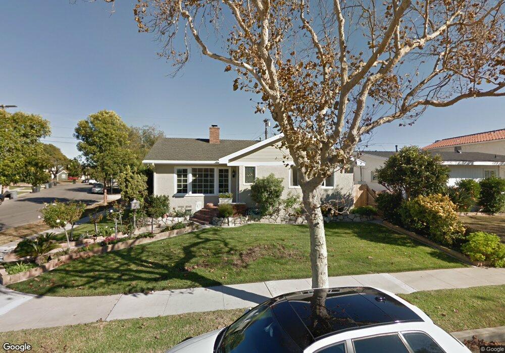
4620 Halison St Torrance, CA 90503
West Torrance NeighborhoodEstimated Value: $1,334,933 - $1,614,000
4
Beds
2
Baths
1,683
Sq Ft
$846/Sq Ft
Est. Value
About This Home
This home is located at 4620 Halison St, Torrance, CA 90503 and is currently estimated at $1,422,983, approximately $845 per square foot. 4620 Halison St is a home located in Los Angeles County with nearby schools including Towers Elementary School, Bert M. Lynn Middle School, and West High School.
Ownership History
Date
Name
Owned For
Owner Type
Purchase Details
Closed on
Dec 12, 2017
Sold by
Stewart Samuel
Bought by
Stewart Samuel C and Stewart Maria
Current Estimated Value
Purchase Details
Closed on
Sep 9, 1994
Sold by
Stewart Samuel
Bought by
Stewart Samuel and Stewart Maria
Home Financials for this Owner
Home Financials are based on the most recent Mortgage that was taken out on this home.
Original Mortgage
$218,500
Interest Rate
8.57%
Purchase Details
Closed on
Jul 20, 1994
Sold by
Khasigian Louise
Bought by
Stewart Samuel and Stewart Maria
Home Financials for this Owner
Home Financials are based on the most recent Mortgage that was taken out on this home.
Original Mortgage
$218,500
Interest Rate
8.57%
Create a Home Valuation Report for This Property
The Home Valuation Report is an in-depth analysis detailing your home's value as well as a comparison with similar homes in the area
Home Values in the Area
Average Home Value in this Area
Purchase History
| Date | Buyer | Sale Price | Title Company |
|---|---|---|---|
| Stewart Samuel C | -- | None Available | |
| Stewart Samuel | -- | American Title Insurance Co | |
| Stewart Samuel | $230,000 | American Title Insurance Co |
Source: Public Records
Mortgage History
| Date | Status | Borrower | Loan Amount |
|---|---|---|---|
| Previous Owner | Stewart Samuel | $218,500 |
Source: Public Records
Tax History Compared to Growth
Tax History
| Year | Tax Paid | Tax Assessment Tax Assessment Total Assessment is a certain percentage of the fair market value that is determined by local assessors to be the total taxable value of land and additions on the property. | Land | Improvement |
|---|---|---|---|---|
| 2025 | $5,387 | $454,547 | $309,053 | $145,494 |
| 2024 | $5,387 | $445,636 | $302,994 | $142,642 |
| 2023 | $5,292 | $436,899 | $297,053 | $139,846 |
| 2022 | $5,222 | $428,333 | $291,229 | $137,104 |
| 2021 | $5,122 | $419,935 | $285,519 | $134,416 |
| 2019 | $4,977 | $407,481 | $277,051 | $130,430 |
| 2018 | $4,789 | $399,492 | $271,619 | $127,873 |
| 2016 | $4,569 | $383,981 | $261,073 | $122,908 |
| 2015 | $4,471 | $378,214 | $257,152 | $121,062 |
| 2014 | $4,361 | $370,806 | $252,115 | $118,691 |
Source: Public Records
Map
Nearby Homes
- 19910 Bernist Ave
- 20017 Bernist Ave
- 4137 Konya Dr
- 4819 Halison St
- 4606 Narrot St
- 20318 Regina Ave
- 4489 Spencer St Unit 224
- 20515 Palm Way
- 20550 Earl St Unit 15
- 2804 Spreckels Ln
- 2905 Spreckels Ct
- 20706 Mansel Ave
- 19509 Hinsdale Ave
- 19219 Beckworth Ave
- 18801 Hawthorne Blvd Unit 19
- 18801 Hawthorne Blvd Unit 59
- 5305 Wilma St
- 20533 Eastwood Ave
- 20617 Amie Ave
- 3536 Garnet St
- 19910 Mansel Ave
- 19916 Mansel Ave
- 19915 Grevillea Ave
- 19909 Grevillea Ave
- 19921 Grevillea Ave
- 19922 Mansel Ave
- 4615 Halison St
- 4619 Halison St
- 19905 Mansel Ave
- 19911 Mansel Ave
- 19927 Grevillea Ave
- 4627 Halison St
- 4611 Halison St
- 19917 Mansel Ave
- 19928 Mansel Ave
- 4631 Halison St
- 20003 Grevillea Ave
- 4607 Halison St
- 19923 Mansel Ave
- 4635 Halison St