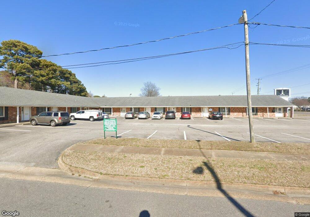
4620 Haygood Rd Virginia Beach, VA 23455
Bayside Neighborhood
--
Bed
--
Bath
7,470
Sq Ft
0.73
Acres
About This Home
This home is located at 4620 Haygood Rd, Virginia Beach, VA 23455. 4620 Haygood Rd is a home located in Virginia Beach City with nearby schools including Thoroughgood Elementary School, Independence Middle School, and Bayside High School.
Ownership History
Date
Name
Owned For
Owner Type
Purchase Details
Closed on
Sep 25, 2020
Sold by
Mercy Medical Angels
Bought by
5312 Virginia Beach Boulevard Llc
Home Financials for this Owner
Home Financials are based on the most recent Mortgage that was taken out on this home.
Original Mortgage
$828,958
Outstanding Balance
$735,645
Interest Rate
2.9%
Mortgage Type
Credit Line Revolving
Create a Home Valuation Report for This Property
The Home Valuation Report is an in-depth analysis detailing your home's value as well as a comparison with similar homes in the area
Home Values in the Area
Average Home Value in this Area
Purchase History
| Date | Buyer | Sale Price | Title Company |
|---|---|---|---|
| 5312 Virginia Beach Boulevard Llc | $595,000 | Fidelity National Title Ins |
Source: Public Records
Mortgage History
| Date | Status | Borrower | Loan Amount |
|---|---|---|---|
| Open | 5312 Virginia Beach Boulevard Llc | $828,958 |
Source: Public Records
Tax History Compared to Growth
Tax History
| Year | Tax Paid | Tax Assessment Tax Assessment Total Assessment is a certain percentage of the fair market value that is determined by local assessors to be the total taxable value of land and additions on the property. | Land | Improvement |
|---|---|---|---|---|
| 2025 | $8,202 | $862,900 | $465,500 | $397,400 |
| 2024 | $8,202 | $845,600 | $465,500 | $380,100 |
| 2023 | $7,926 | $800,600 | $434,400 | $366,200 |
| 2022 | $7,811 | $789,000 | $434,400 | $354,600 |
| 2021 | $7,288 | $736,200 | $434,400 | $301,800 |
| 2020 | $6,499 | $638,700 | $344,500 | $294,200 |
| 2019 | $6,247 | $624,700 | $344,500 | $280,200 |
| 2018 | $0 | $624,700 | $344,500 | $280,200 |
| 2017 | $0 | $622,300 | $344,500 | $277,800 |
| 2016 | -- | $600,400 | $326,000 | $274,400 |
| 2015 | -- | $515,500 | $243,600 | $271,900 |
| 2014 | -- | $502,100 | $236,300 | $265,800 |
Source: Public Records
Map
Nearby Homes
- 1020 Miles Standish Rd
- 1040 Patrick Henry Way
- 1025 Walt Whitman Way
- 904 Ewell Rd
- 1121 Witchgate Ct
- 1228 Captain Adams Ct
- 4660 Copperfield Rd
- 1029 Ferry Plantation Rd
- 4712 White House Ln
- 1364 Sir Richard Rd
- 1001 Ferry Plantation Rd
- 4833 Linshaw Ln
- 933 Ferry Plantation Rd
- 1448 Iredell Ct
- 868 Rodin Ln
- 840 Five Forks Rd
- 4401 N Witchduck Rd
- 828 de La Fayette Ct
- 4712 Crossborough Rd
- 4780 Seal Dr
- 4612 Twain Ln
- 4608 Haygood Rd
- 4616 Twain Ln
- 1030 Miles Standish Ct
- 4613 Twain Ln
- 4628 Haygood Rd
- 4617 Twain Ln
- 1032 Miles Standish Ct
- 1024 Miles Standish Rd
- 1028 Miles Standish Ct
- 4621 Twain Ln
- 4620 Truman Ln
- 4618 Truman Ln
- 1115 Independence Blvd
- 1034 Miles Standish Ct
- 4616 Truman Ln
- 1021 Independence Blvd
- 1099 Independence Blvd
- 4624 Truman Ln
- 4614 Truman Ln