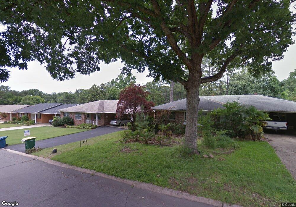
4620 Kenyon Dr Little Rock, AR 72205
Hillcrest NeighborhoodEstimated Value: $286,429 - $334,000
--
Bed
3
Baths
1,488
Sq Ft
$203/Sq Ft
Est. Value
About This Home
This home is located at 4620 Kenyon Dr, Little Rock, AR 72205 and is currently estimated at $301,857, approximately $202 per square foot. 4620 Kenyon Dr is a home located in Pulaski County with nearby schools including Pulaski Heights Elementary School, Pulaski Heights Middle School, and Central High School.
Ownership History
Date
Name
Owned For
Owner Type
Purchase Details
Closed on
Jun 30, 2014
Sold by
Griffith Lisa Dimassimo
Bought by
Griffith Lisa Dimassimo and Dimassimo Griffith Living Trus
Current Estimated Value
Purchase Details
Closed on
Sep 29, 1997
Sold by
Peterson Charlotte A
Bought by
Dimassimo Griffith Lisa
Create a Home Valuation Report for This Property
The Home Valuation Report is an in-depth analysis detailing your home's value as well as a comparison with similar homes in the area
Home Values in the Area
Average Home Value in this Area
Purchase History
| Date | Buyer | Sale Price | Title Company |
|---|---|---|---|
| Griffith Lisa Dimassimo | -- | None Available | |
| Dimassimo Griffith Lisa | $112,000 | First Security Title Company |
Source: Public Records
Tax History Compared to Growth
Tax History
| Year | Tax Paid | Tax Assessment Tax Assessment Total Assessment is a certain percentage of the fair market value that is determined by local assessors to be the total taxable value of land and additions on the property. | Land | Improvement |
|---|---|---|---|---|
| 2025 | $2,495 | $54,068 | $36,048 | $18,020 |
| 2024 | $2,495 | $54,068 | $36,048 | $18,020 |
| 2023 | $2,495 | $54,068 | $36,048 | $18,020 |
| 2022 | $2,495 | $54,068 | $36,048 | $18,020 |
| 2021 | $2,513 | $50,130 | $29,440 | $20,690 |
| 2020 | $2,120 | $50,130 | $29,440 | $20,690 |
| 2019 | $2,120 | $50,130 | $29,440 | $20,690 |
| 2018 | $2,145 | $50,130 | $29,440 | $20,690 |
| 2017 | $2,032 | $50,130 | $29,440 | $20,690 |
| 2016 | $1,918 | $49,600 | $22,500 | $27,100 |
| 2015 | $2,180 | $31,103 | $22,500 | $8,603 |
| 2014 | $2,180 | $28,503 | $22,500 | $6,003 |
Source: Public Records
Map
Nearby Homes
- 1100 N Palm St
- 1109 N Spruce St
- 416 N Spruce St
- 4907 N Lookout St
- 314 N Walnut St
- 5015 E Crestwood Dr
- 4009 Kenyon Dr
- 5024 Crestwood Dr
- 4523 Woodlawn Dr
- 5116 Edgewood Rd
- 501 N Palm St
- 5120 F St
- 5009 N Lookout Dr
- 1109 N Tyler St
- 5223 G St
- 4817 Kavanaugh Blvd
- 5124 Woodlawn Dr
- 1816 N Jackson St
- 5111 Woodlawn Dr
- 3901 Cedar Hill #23 Rd
- 1109 N Palm St
- 4624 Kenyon Dr
- 1106 Beechwood St
- 4600 Kenyon Dr
- 1112 Beechwood St
- 4621 Kenyon Dr Unit 2
- 4621 Kenyon Dr
- 1025 N Palm St
- 1020 Beechwood St
- 4621 N Lookout Rd
- 4621 N Lookout St
- 4619 N Lookout St
- 1023 N Palm St
- 4615 N Lookout St
- N Lookout Rd
- 4615 N Lookout Rd
- 1018 Beechwood St
- 4613 N Lookout St
- 1108 N Palm St
- 1110 N Palm St