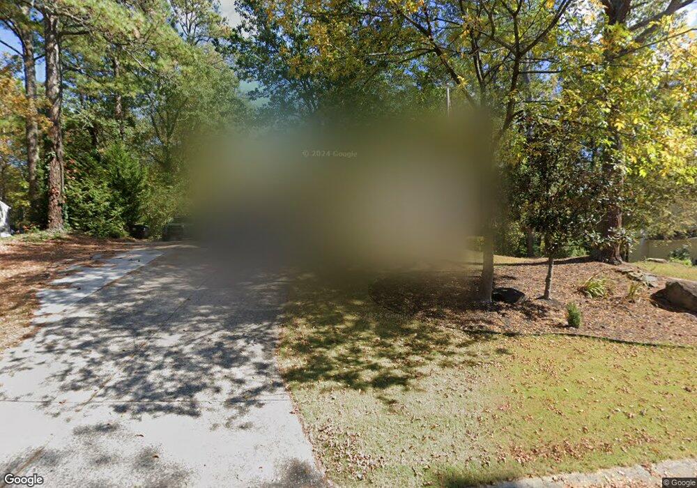
4620 N Landing Trace Marietta, GA 30066
Sandy Plains NeighborhoodEstimated Value: $409,000 - $433,818
4
Beds
3
Baths
2,020
Sq Ft
$209/Sq Ft
Est. Value
About This Home
This home is located at 4620 N Landing Trace, Marietta, GA 30066 and is currently estimated at $422,205, approximately $209 per square foot. 4620 N Landing Trace is a home located in Cobb County with nearby schools including Keheley Elementary School and McCleskey Middle School.
Ownership History
Date
Name
Owned For
Owner Type
Purchase Details
Closed on
Jan 30, 1998
Sold by
Cohen Robt A and Pruitt Penny J
Bought by
Schierle Kenneth W
Current Estimated Value
Home Financials for this Owner
Home Financials are based on the most recent Mortgage that was taken out on this home.
Original Mortgage
$114,450
Outstanding Balance
$19,740
Interest Rate
7.07%
Mortgage Type
New Conventional
Estimated Equity
$402,465
Purchase Details
Closed on
May 8, 1997
Sold by
Lucas Douglas K
Bought by
Pruih Penny J
Home Financials for this Owner
Home Financials are based on the most recent Mortgage that was taken out on this home.
Original Mortgage
$115,800
Interest Rate
7.37%
Mortgage Type
New Conventional
Create a Home Valuation Report for This Property
The Home Valuation Report is an in-depth analysis detailing your home's value as well as a comparison with similar homes in the area
Home Values in the Area
Average Home Value in this Area
Purchase History
| Date | Buyer | Sale Price | Title Company |
|---|---|---|---|
| Schierle Kenneth W | $118,000 | -- | |
| Pruih Penny J | $121,900 | -- |
Source: Public Records
Mortgage History
| Date | Status | Borrower | Loan Amount |
|---|---|---|---|
| Open | Schierle Kenneth W | $114,450 | |
| Previous Owner | Pruih Penny J | $115,800 |
Source: Public Records
Tax History Compared to Growth
Tax History
| Year | Tax Paid | Tax Assessment Tax Assessment Total Assessment is a certain percentage of the fair market value that is determined by local assessors to be the total taxable value of land and additions on the property. | Land | Improvement |
|---|---|---|---|---|
| 2025 | $3,634 | $155,408 | $36,000 | $119,408 |
| 2024 | $3,637 | $155,408 | $36,000 | $119,408 |
| 2023 | $3,178 | $159,240 | $36,000 | $123,240 |
| 2022 | $3,154 | $131,996 | $26,000 | $105,996 |
| 2021 | $2,486 | $101,500 | $24,000 | $77,500 |
| 2020 | $2,486 | $101,500 | $24,000 | $77,500 |
| 2019 | $2,219 | $89,280 | $18,400 | $70,880 |
| 2018 | $2,136 | $85,484 | $18,400 | $67,084 |
| 2017 | $1,763 | $72,304 | $18,400 | $53,904 |
| 2016 | $1,636 | $66,440 | $17,200 | $49,240 |
| 2015 | $1,709 | $67,872 | $12,000 | $55,872 |
| 2014 | $1,723 | $67,872 | $0 | $0 |
Source: Public Records
Map
Nearby Homes
- 4709 Trickum Rd NE
- 4592 N Landing Dr
- 4509 N Landing Dr
- 4797 North Trail
- 4799 North Trail
- 4509 N Bay Ct
- 4499 Browning Ct NE
- 2256 Turtle Club Dr NE Unit 1
- 4813 Highpoint Dr NE
- 1765 Blackwillow Dr
- 4924 Locklear Way
- 2423 Turtle Crossing NE
- 5009 Kingsley Manor Ct
- 4314 Keheley Lake Ct NE
- 5100 Ravenwood Dr
- 2603 Chadwick Rd
- 1634 Barrier Rd
- 4630 N Landing Trace
- 4610 N Landing Trace
- 4640 N Landing Trace Unit 25
- 4640 N Landing Trace
- 2100 N Landing Ct
- 4600 N Landing Trace
- 4600 N Landing Trail
- 4631 N Landing Trace
- 2110 N Landing Ct
- 2110 North Landing
- N N Landing Trace Unit 25
- N N Landing Trace
- 4650 N Landing Trace
- 4641 N Landing Trace Unit 1A
- 4602 N Landing Way
- 2101 N Landing Ct
- 4660 N Landing Trace
- 4651 N Landing Trace
- 4742 N Landing Place
- 2120 N Landing Ct