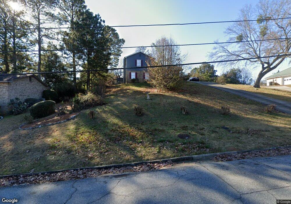
4620 Velpoe Dr Columbus, GA 31907
Eastern Columbus NeighborhoodEstimated Value: $167,000 - $198,000
3
Beds
4
Baths
1,732
Sq Ft
$104/Sq Ft
Est. Value
About This Home
This home is located at 4620 Velpoe Dr, Columbus, GA 31907 and is currently estimated at $179,626, approximately $103 per square foot. 4620 Velpoe Dr is a home located in Muscogee County with nearby schools including St. Mary's Road Magnet Academy, Rothschild Leadership Academy, and Spencer High School.
Ownership History
Date
Name
Owned For
Owner Type
Purchase Details
Closed on
Nov 1, 2021
Sold by
Mayo Peggy Ann
Bought by
Mayo Courtney Marquise
Current Estimated Value
Home Financials for this Owner
Home Financials are based on the most recent Mortgage that was taken out on this home.
Original Mortgage
$124,135
Outstanding Balance
$113,033
Interest Rate
3.01%
Mortgage Type
New Conventional
Estimated Equity
$66,593
Create a Home Valuation Report for This Property
The Home Valuation Report is an in-depth analysis detailing your home's value as well as a comparison with similar homes in the area
Home Values in the Area
Average Home Value in this Area
Purchase History
| Date | Buyer | Sale Price | Title Company |
|---|---|---|---|
| Mayo Courtney Marquise | $122,000 | -- |
Source: Public Records
Mortgage History
| Date | Status | Borrower | Loan Amount |
|---|---|---|---|
| Open | Mayo Courtney Marquise | $124,135 |
Source: Public Records
Tax History Compared to Growth
Tax History
| Year | Tax Paid | Tax Assessment Tax Assessment Total Assessment is a certain percentage of the fair market value that is determined by local assessors to be the total taxable value of land and additions on the property. | Land | Improvement |
|---|---|---|---|---|
| 2025 | $2,078 | $53,072 | $9,200 | $43,872 |
| 2024 | $2,078 | $53,072 | $9,200 | $43,872 |
| 2023 | $2,091 | $53,072 | $9,200 | $43,872 |
| 2022 | $1,792 | $43,876 | $9,200 | $34,676 |
| 2021 | $917 | $43,848 | $9,200 | $34,648 |
| 2020 | $918 | $43,848 | $9,200 | $34,648 |
| 2019 | $922 | $43,848 | $9,200 | $34,648 |
| 2018 | $922 | $43,848 | $9,200 | $34,648 |
| 2017 | $927 | $43,848 | $9,200 | $34,648 |
| 2016 | $932 | $35,860 | $4,020 | $31,840 |
| 2015 | $912 | $35,328 | $4,020 | $31,308 |
| 2014 | $913 | $35,328 | $4,020 | $31,308 |
| 2013 | -- | $35,328 | $4,020 | $31,308 |
Source: Public Records
Map
Nearby Homes
- 4718 Velpoe Dr
- 4422 Debolt Ct
- 4408 Ridgefield Dr
- 811 Pheasant Loop
- 1025 Belmar St
- 4581 Dawn Ct
- 1225 Rowell St
- 4201 Valley Crest Dr
- 4939 Aaron Dr
- 1425 Staunton Dr
- 849 Bunker Hill Rd
- 4917 Brightstar Ln
- 906 Bunker Hill Rd
- 1234 Hanover Ave
- 4965 Brightstar Ln
- 59 Apollo Dr
- 4437 St Marys Rd
- 4510 Tracy St
- 1509 Bowie Ave
- 5234 Saint Marys Rd
- 4604 Velpoe Dr
- 4628 Velpoe Dr
- 0 Velpoe Dr Unit 8523709
- 0 Velpoe Dr Unit 7537220
- 4321 Moline Ave
- 4315 Moline Ave
- 4634 Velpoe Dr
- 4513 Lasalle Dr
- 922 Hardegree Dr
- 4605 Velpoe Dr
- 4322 Moline Ave
- 4307 Moline Ave
- 4519 Lasalle Dr
- 4633 Velpoe Dr
- 919 Hardegree Dr
- 4601 Velpoe Dr
- 4642 Velpoe Dr
- 916 Hardegree Dr
- 4529 Lasalle Dr
- 4316 Moline Ave