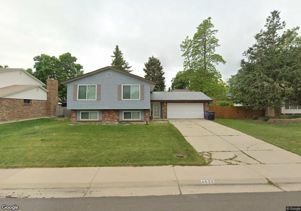
4620 W Stanford Ave Denver, CO 80236
Fort Logan NeighborhoodEstimated Value: $560,000 - $713,000
6
Beds
2
Baths
1,151
Sq Ft
$557/Sq Ft
Est. Value
About This Home
This home is located at 4620 W Stanford Ave, Denver, CO 80236 and is currently estimated at $641,606, approximately $557 per square foot. 4620 W Stanford Ave is a home located in Denver County with nearby schools including Kaiser Elementary School, Bear Valley International School, and John F Kennedy High School.
Ownership History
Date
Name
Owned For
Owner Type
Purchase Details
Closed on
Jun 26, 2015
Sold by
Rikmanis Edgar A
Bought by
Moritis Kristina I
Current Estimated Value
Home Financials for this Owner
Home Financials are based on the most recent Mortgage that was taken out on this home.
Original Mortgage
$190,000
Outstanding Balance
$148,358
Interest Rate
3.9%
Mortgage Type
New Conventional
Estimated Equity
$493,248
Create a Home Valuation Report for This Property
The Home Valuation Report is an in-depth analysis detailing your home's value as well as a comparison with similar homes in the area
Home Values in the Area
Average Home Value in this Area
Purchase History
| Date | Buyer | Sale Price | Title Company |
|---|---|---|---|
| Moritis Kristina I | $295,000 | Land Title Guarantee |
Source: Public Records
Mortgage History
| Date | Status | Borrower | Loan Amount |
|---|---|---|---|
| Open | Moritis Kristina I | $190,000 |
Source: Public Records
Tax History Compared to Growth
Tax History
| Year | Tax Paid | Tax Assessment Tax Assessment Total Assessment is a certain percentage of the fair market value that is determined by local assessors to be the total taxable value of land and additions on the property. | Land | Improvement |
|---|---|---|---|---|
| 2024 | $2,961 | $37,390 | $3,690 | $33,700 |
| 2023 | $2,897 | $37,390 | $3,690 | $33,700 |
| 2022 | $2,521 | $31,700 | $7,650 | $24,050 |
| 2021 | $2,521 | $32,620 | $7,870 | $24,750 |
| 2020 | $2,402 | $32,370 | $7,150 | $25,220 |
| 2019 | $2,334 | $32,370 | $7,150 | $25,220 |
| 2018 | $1,978 | $25,570 | $6,480 | $19,090 |
| 2017 | $1,972 | $25,570 | $6,480 | $19,090 |
| 2016 | $1,935 | $23,730 | $7,164 | $16,566 |
| 2015 | $1,232 | $23,730 | $7,164 | $16,566 |
| 2014 | $925 | $19,100 | $3,980 | $15,120 |
Source: Public Records
Map
Nearby Homes
- 4474 S Vrain St
- 4720 W Stanford Ave
- 4415 S Tennyson St
- 4645 W Temple Place
- 4201 W Tufts Ave
- 4155 W Stanford Ave
- 4665 S Raleigh St
- 4636 S Yates St
- 4095 W Radcliff Ave
- 4621 S Perry Way
- 3963 W Temple Place
- 4640 W Princeton Ave
- 5155 W Quincy Ave Unit K103
- 5155 W Quincy Ave Unit L101
- 5200 Sunset Dr
- 5300 Yellowstone St Unit 9
- 5300 Yellowstone St
- 4390 S Sheridan Blvd
- 4700 S Sheridan Blvd
- 5350 Yellowstone St
- 4600 W Stanford Ave
- 4650 W Stanford Ave
- 4661 W Tufts Ave
- 4625 W Stanford Ave
- 4690 W Stanford Ave
- 4681 W Tufts Ave
- 4641 W Tufts Ave
- 4590 W Stanford Ave
- 4605 W Stanford Ave
- 4655 W Stanford Ave
- 4691 W Tufts Ave
- 4621 W Tufts Ave
- 4695 W Stanford Ave
- 4580 W Stanford Ave
- 4701 W Tufts Ave
- 4496 S Vrain St
- 4601 W Tufts Ave
- 4725 W Stanford Ave
- 4492 S Vrain St
- 4633 W Tufts Cir