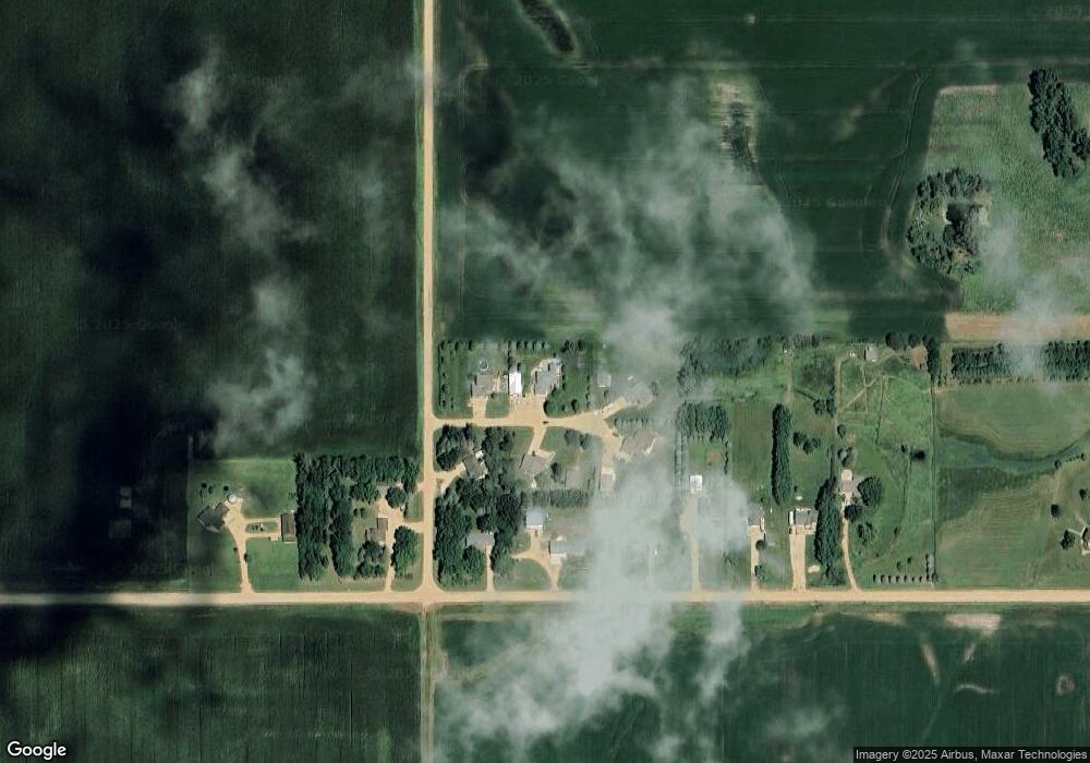
46206 Weis Cir Hartford, SD 57033
Estimated Value: $574,000 - $711,000
4
Beds
3
Baths
2,646
Sq Ft
$231/Sq Ft
Est. Value
About This Home
This home is located at 46206 Weis Cir, Hartford, SD 57033 and is currently estimated at $610,968, approximately $230 per square foot. 46206 Weis Cir is a home located in Minnehaha County with nearby schools including Hartford Elementary School, West Central Humboldt Elementary - 02, and West Central Middle School.
Ownership History
Date
Name
Owned For
Owner Type
Purchase Details
Closed on
Oct 10, 2014
Sold by
Toby D Toby D and Bryant Amber Rae
Bought by
Copeland Shane D and Copeland Jessi L
Current Estimated Value
Home Financials for this Owner
Home Financials are based on the most recent Mortgage that was taken out on this home.
Original Mortgage
$261,000
Outstanding Balance
$200,315
Interest Rate
4.13%
Mortgage Type
New Conventional
Estimated Equity
$410,653
Create a Home Valuation Report for This Property
The Home Valuation Report is an in-depth analysis detailing your home's value as well as a comparison with similar homes in the area
Home Values in the Area
Average Home Value in this Area
Purchase History
| Date | Buyer | Sale Price | Title Company |
|---|---|---|---|
| Copeland Shane D | $290,000 | Dataquick Title Llc |
Source: Public Records
Mortgage History
| Date | Status | Borrower | Loan Amount |
|---|---|---|---|
| Open | Copeland Shane D | $261,000 |
Source: Public Records
Tax History Compared to Growth
Tax History
| Year | Tax Paid | Tax Assessment Tax Assessment Total Assessment is a certain percentage of the fair market value that is determined by local assessors to be the total taxable value of land and additions on the property. | Land | Improvement |
|---|---|---|---|---|
| 2024 | $4,741 | $438,900 | $99,200 | $339,700 |
| 2023 | $4,532 | $398,800 | $72,500 | $326,300 |
| 2022 | $3,648 | $308,200 | $58,000 | $250,200 |
| 2021 | $3,694 | $310,400 | $0 | $0 |
| 2020 | $3,694 | $297,700 | $0 | $0 |
| 2019 | $3,446 | $271,519 | $0 | $0 |
| 2018 | $2,957 | $263,122 | $0 | $0 |
| 2017 | $3,019 | $244,067 | $40,875 | $203,192 |
| 2016 | $3,019 | $240,024 | $40,875 | $199,149 |
| 2015 | $3,105 | $233,257 | $38,150 | $195,107 |
| 2014 | -- | $237,810 | $38,150 | $199,660 |
Source: Public Records
Map
Nearby Homes
- 46202 267th St
- 0 267th St
- 26646 461st Ave
- 46254 W Shore Place
- 26506 Lakeview Place
- 46466 Country Ln
- 46486 267th St
- 26751 465th Ave
- 26335 463rd Ave
- 27271 461st Ave
- 9625 W Broek Dr
- 9562 W Dolores Dr
- 9657 W Tunis Dr
- 9622 W Tunis Dr Dr
- 9624 W Tunis Dr Dr
- 9637 W Tunis Dr
- 2804 S Richie Dr
- 9543 W Dolores Dr
- 9615 W Tunis Dr
- 9532 W Tunis Dr
