4622 10th Ave Leavenworth, KS 66048
Estimated Value: $335,000 - $481,390
4
Beds
3
Baths
1,793
Sq Ft
$219/Sq Ft
Est. Value
About This Home
This home is located at 4622 10th Ave, Leavenworth, KS 66048 and is currently estimated at $393,463, approximately $219 per square foot. 4622 10th Ave is a home located in Leavenworth County with nearby schools including Lansing Elementary School, Lansing Middle 6-8, and Lansing High 9-12.
Ownership History
Date
Name
Owned For
Owner Type
Purchase Details
Closed on
May 13, 2021
Sold by
Bohannons Enterprises Llc
Bought by
Bohannon Carroll S and Bohannon Christie
Current Estimated Value
Purchase Details
Closed on
Apr 13, 2021
Sold by
Bohannon Carroll S and Bohannon Christie
Bought by
Bohannons Enterprises Llc
Purchase Details
Closed on
Jan 5, 2021
Sold by
David W Drake Revocable Trust
Bought by
Bohannon Carroll S and Bohannon Christie
Home Financials for this Owner
Home Financials are based on the most recent Mortgage that was taken out on this home.
Original Mortgage
$250,000
Interest Rate
2.7%
Mortgage Type
New Conventional
Create a Home Valuation Report for This Property
The Home Valuation Report is an in-depth analysis detailing your home's value as well as a comparison with similar homes in the area
Home Values in the Area
Average Home Value in this Area
Purchase History
| Date | Buyer | Sale Price | Title Company |
|---|---|---|---|
| Bohannon Carroll S | -- | None Listed On Document | |
| Bohannons Enterprises Llc | -- | None Listed On Document | |
| Bohannon Carroll S | $332,500 | Mccaffree Short Title |
Source: Public Records
Mortgage History
| Date | Status | Borrower | Loan Amount |
|---|---|---|---|
| Previous Owner | Bohannon Carroll S | $250,000 |
Source: Public Records
Tax History Compared to Growth
Tax History
| Year | Tax Paid | Tax Assessment Tax Assessment Total Assessment is a certain percentage of the fair market value that is determined by local assessors to be the total taxable value of land and additions on the property. | Land | Improvement |
|---|---|---|---|---|
| 2025 | $4,699 | $41,611 | $7,571 | $34,040 |
| 2024 | $4,699 | $40,421 | $7,130 | $33,291 |
| 2023 | $4,699 | $40,037 | $7,139 | $32,898 |
| 2022 | -- | $34,979 | $5,749 | $29,230 |
| 2021 | $0 | $30,978 | $4,189 | $26,789 |
| 2020 | $3,603 | $27,590 | $4,159 | $23,431 |
| 2019 | $3,494 | $26,712 | $4,132 | $22,580 |
| 2018 | $3,296 | $25,193 | $4,096 | $21,097 |
| 2017 | $3,207 | $25,181 | $4,084 | $21,097 |
| 2016 | $3,134 | $24,565 | $4,066 | $20,499 |
| 2015 | -- | $23,848 | $4,048 | $19,800 |
| 2014 | -- | $23,390 | $4,030 | $19,360 |
Source: Public Records
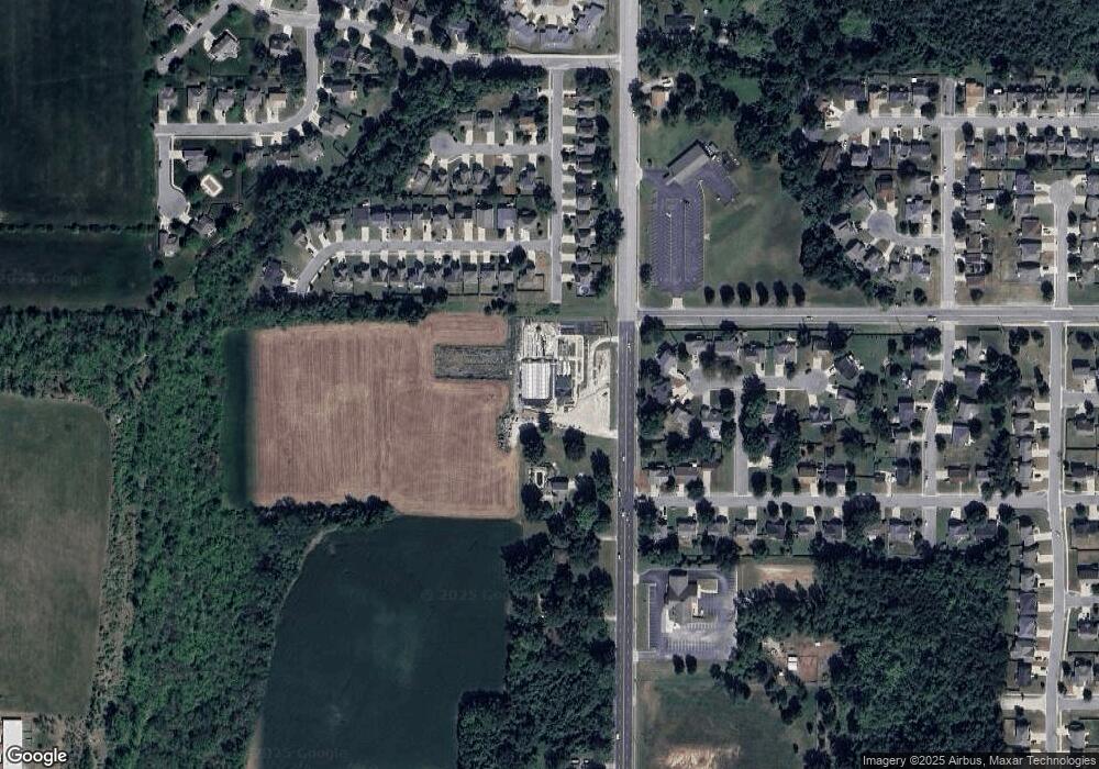
Map
Nearby Homes
- 1023 Ironwood Ct
- 4301 Ironwood Dr
- 4421 Grand Ct
- 4606 Park Ln
- 749 Highland Dr
- 3804 Garland Ave
- 728 Eisenhower Rd
- 4036 Shrine Park Rd
- 108 Woodmoor Ct Unit Lot 100
- 3225 Meadow Rd
- 1605 Shadow Dr
- 3705 Shrine Park Rd
- 1204 Wildwood St
- 1013 Sycamore Ridge Dr
- 1320 Independence Ct
- 911 Limit St
- 901 Limit St
- 500 Muncie Rd
- 00000 Limit St
- 2104 Limit St
- 1007 Tamarisk Dr
- 4419 Ironwood Dr
- 1011 Tamarisk Dr
- 4512 Park 10 Ct
- 1015 Tamarisk Dr
- 4508 Park 10 Ct
- 1019 Tamarisk Dr
- 4413 Ironwood Dr
- 1023 Tamarisk Dr
- 4516 Park 10 Ct
- 932 Park Ave
- 1027 Tamarisk Dr
- 4504 Park 10 Ct
- 928 Park Ave
- 1101 Tamarisk Dr
- 1008 Tamarisk Dr
- 4405 Ironwood Dr
- 4704 10th Ave
- 4524 Park 10 Ct
- 1016 Tamarisk Dr