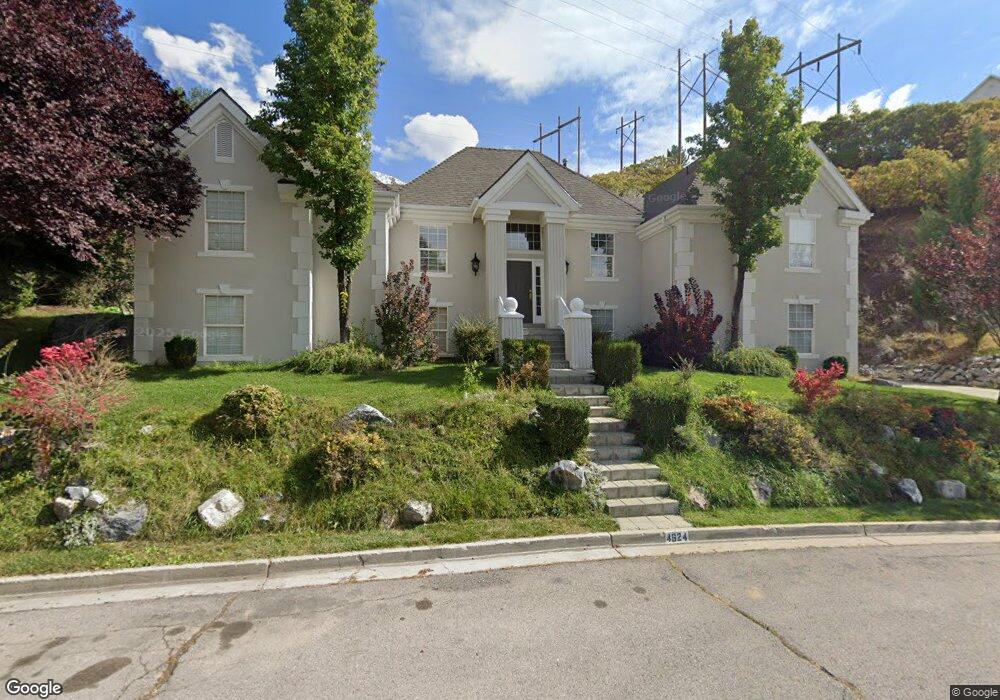
4624 Brookshire Cir Provo, UT 84604
Rock Canyon NeighborhoodEstimated Value: $726,000 - $979,000
3
Beds
3
Baths
1,610
Sq Ft
$504/Sq Ft
Est. Value
About This Home
This home is located at 4624 Brookshire Cir, Provo, UT 84604 and is currently estimated at $811,656, approximately $504 per square foot. 4624 Brookshire Cir is a home located in Utah County with nearby schools including Canyon Crest Elementary School, Centennial Middle School, and Timpview High School.
Ownership History
Date
Name
Owned For
Owner Type
Purchase Details
Closed on
Jul 18, 1997
Sold by
Sowers Walter C and Sowers Melinda L
Bought by
Sowers Ii Walter Carl and Sowers Melinda Lee
Current Estimated Value
Home Financials for this Owner
Home Financials are based on the most recent Mortgage that was taken out on this home.
Original Mortgage
$133,000
Outstanding Balance
$19,398
Interest Rate
7.7%
Estimated Equity
$792,258
Create a Home Valuation Report for This Property
The Home Valuation Report is an in-depth analysis detailing your home's value as well as a comparison with similar homes in the area
Home Values in the Area
Average Home Value in this Area
Purchase History
| Date | Buyer | Sale Price | Title Company |
|---|---|---|---|
| Sowers Ii Walter Carl | -- | -- |
Source: Public Records
Mortgage History
| Date | Status | Borrower | Loan Amount |
|---|---|---|---|
| Open | Sowers Ii Walter Carl | $133,000 |
Source: Public Records
Tax History Compared to Growth
Tax History
| Year | Tax Paid | Tax Assessment Tax Assessment Total Assessment is a certain percentage of the fair market value that is determined by local assessors to be the total taxable value of land and additions on the property. | Land | Improvement |
|---|---|---|---|---|
| 2025 | $3,065 | $333,520 | $247,700 | $358,700 |
| 2024 | $3,065 | $301,675 | $0 | $0 |
| 2023 | $3,036 | $294,580 | $0 | $0 |
| 2022 | $2,846 | $278,465 | $0 | $0 |
| 2021 | $2,206 | $376,500 | $167,600 | $208,900 |
| 2020 | $2,153 | $344,500 | $139,700 | $204,800 |
| 2019 | $2,071 | $344,500 | $139,700 | $204,800 |
| 2018 | $2,042 | $344,500 | $139,700 | $204,800 |
| 2017 | $2,043 | $189,475 | $0 | $0 |
| 2016 | $2,192 | $189,475 | $0 | $0 |
| 2015 | $1,981 | $173,030 | $0 | $0 |
| 2014 | $1,770 | $161,205 | $0 | $0 |
Source: Public Records
Map
Nearby Homes
- 4606 Brookshire Cir
- 924 Redford Dr
- 4601 Foothill Dr
- 4612 N Bristol Cir
- 4365 Bedford Dr
- 981 Waterford Dr Unit 5&6
- 4299 Ivy Ln
- 4839 N 350 E
- 645 Foothill Dr
- 4077 N Devonshire Cir
- 221 E 4735 N
- 3985 N 850 St E
- 209 E 4735 N
- 4093 Imperial Way
- 4161 N Canyon Rd Unit 2
- 3943 Foothill Dr
- 3936 Foothill Dr
- 299 E 4000 N
- 3702 N 920 E
- 5005 N Edgewood Dr Unit 310
- 4656 Brookshire Cir
- 4657 Brookshire Cir Unit 272
- 4633 Brookshire Cir
- 4640 Brookshire Cir
- 4653 Brookshire Cir
- 4611 Brookshire Cir
- 945 Windsor Dr
- 4652 Brookshire Cir
- 4667 Brookshire Cir
- 4660 Brookshire Cir
- 4596 Foothill Dr Unit 275
- 4675 Brookshire Cir
- 959 Windsor Dr
- 947 Windsor Dr Unit 301
- 947 Windsor Dr
- 4653 Hillside Dr Unit 224
- 4653 Hillside Dr
- 4570 Brookshire Dr
- 4637 N Hillside Dr
- 4560 E Foothill Dr