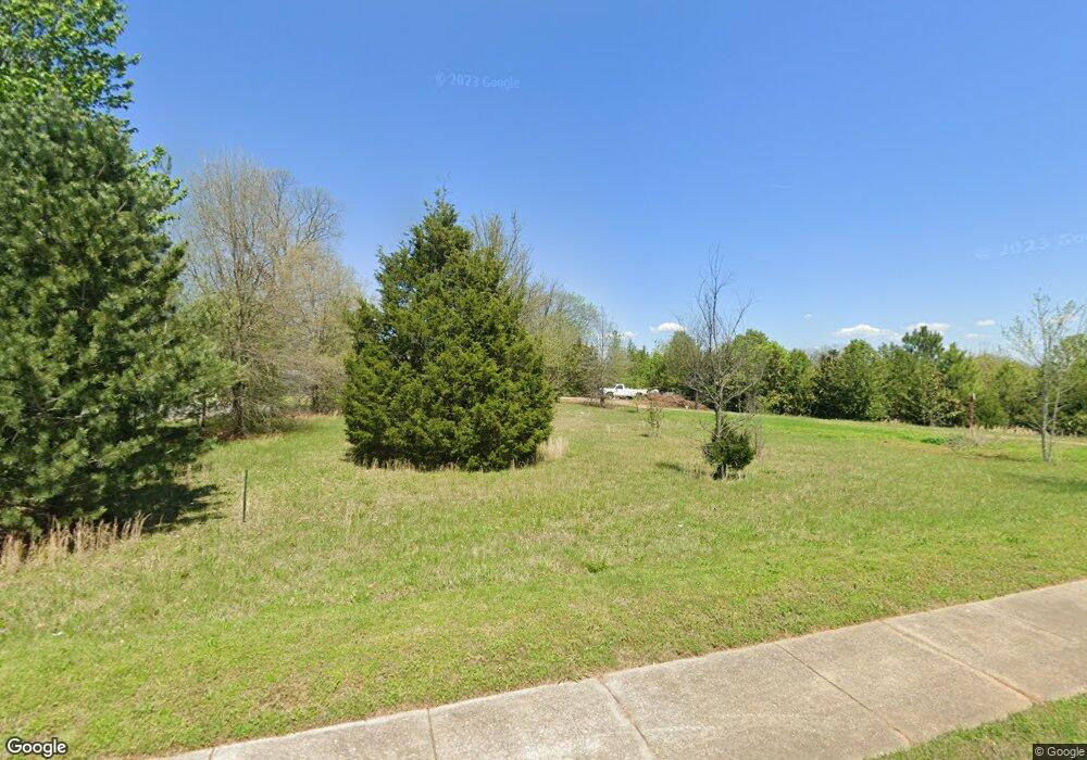
4624 Manson Pike Unit 4628 Murfreesboro, TN 37129
Estimated Value: $337,000 - $459,000
--
Bed
1
Bath
1,736
Sq Ft
$227/Sq Ft
Est. Value
About This Home
This home is located at 4624 Manson Pike Unit 4628, Murfreesboro, TN 37129 and is currently estimated at $393,872, approximately $226 per square foot. 4624 Manson Pike Unit 4628 is a home located in Rutherford County with nearby schools including Brown's Chapel Elementary School, Overall Creek Elementary School, and Blackman Middle School.
Ownership History
Date
Name
Owned For
Owner Type
Purchase Details
Closed on
Oct 13, 2005
Sold by
Payvis Gerard T
Bought by
Booten Daniel L
Current Estimated Value
Purchase Details
Closed on
May 6, 2005
Sold by
Turney Steven G
Bought by
Daniel Booten
Purchase Details
Closed on
May 19, 2003
Sold by
Payvis and Christine
Bought by
City Of Murfreesboro
Purchase Details
Closed on
Jan 16, 1998
Sold by
State Of Tennessee
Bought by
Booten Daniel L
Purchase Details
Closed on
Mar 22, 1996
Sold by
Daniel Booten
Bought by
State Of Tennessee
Create a Home Valuation Report for This Property
The Home Valuation Report is an in-depth analysis detailing your home's value as well as a comparison with similar homes in the area
Home Values in the Area
Average Home Value in this Area
Purchase History
| Date | Buyer | Sale Price | Title Company |
|---|---|---|---|
| Booten Daniel L | $160,000 | -- | |
| Daniel Booten | $100,000 | -- | |
| City Of Murfreesboro | -- | -- | |
| Booten Daniel L | -- | -- | |
| State Of Tennessee | $2,000 | -- |
Source: Public Records
Tax History Compared to Growth
Tax History
| Year | Tax Paid | Tax Assessment Tax Assessment Total Assessment is a certain percentage of the fair market value that is determined by local assessors to be the total taxable value of land and additions on the property. | Land | Improvement |
|---|---|---|---|---|
| 2025 | $1,197 | $63,825 | $23,975 | $39,850 |
| 2024 | $1,197 | $63,825 | $23,975 | $39,850 |
| 2023 | $1,197 | $63,825 | $23,975 | $39,850 |
| 2022 | $1,032 | $63,825 | $23,975 | $39,850 |
| 2021 | $593 | $26,725 | $14,150 | $12,575 |
| 2020 | $593 | $26,725 | $14,150 | $12,575 |
| 2019 | $593 | $26,725 | $14,150 | $12,575 |
Source: Public Records
Map
Nearby Homes
- 0 Burnt Knob Rd
- 5615 Eaglemont Dr
- 4439 Chusto Dr
- 5900 Willoughby Way
- 5826 Willoughby Way
- 5738 Lennis Ln
- 5818 Willoughby Way
- 1716 John Lee Ln
- 5509 Bridgemore Blvd
- 5747 Sagebrush Dr
- 5802 Willoughby Way
- 5743 Sagebrush Dr
- 5731 Sagebrush Dr
- 4332 Pender Ct
- 5762 Willoughby Way
- Piper Plan at Shelton Square
- Grace Plan at Shelton Square
- 2819 Chaudoin Ct
- 4304 Faran David Ct
- 2826 Chaudoin Ct
- 4624 Manson Pike
- 4624 Manson Pike
- 4624 Manson Pike
- 3 Burnt Knob Rd
- 4626 Old Manson Pike
- 220 Owen Layne #171
- 2507 Blackman Rd
- 2530 Blackman Rd
- 254 Heirloom Drive #254
- 2501 Blackman Rd
- 4575 Manson Pike
- 2542 Blackman Rd
- 4710 Burnt Knob Rd
- 2406 Blackman Rd
- 2415 Blackman Rd
- 2537 Blackman Rd
- 2602 Blackman Rd
- 4716 Burnt Knob Rd
- 2612 Blackman Rd
- 4722 Burnt Knob Rd
