4624 Route 9g Red Hook, NY 12571
Estimated Value: $631,000 - $830,000
3
Beds
2
Baths
2,390
Sq Ft
$292/Sq Ft
Est. Value
About This Home
This home is located at 4624 Route 9g, Red Hook, NY 12571 and is currently estimated at $697,552, approximately $291 per square foot. 4624 Route 9g is a home with nearby schools including Mill Road Primary School, Mill Road Intermediate School, and Linden Avenue Middle School.
Ownership History
Date
Name
Owned For
Owner Type
Purchase Details
Closed on
Apr 1, 2019
Sold by
Delpozzo Maer
Bought by
Delpozzo Mark
Current Estimated Value
Home Financials for this Owner
Home Financials are based on the most recent Mortgage that was taken out on this home.
Original Mortgage
$300,000
Interest Rate
4.1%
Mortgage Type
New Conventional
Purchase Details
Closed on
Jun 14, 2002
Sold by
Coryat
Bought by
Delpozzo Mark
Create a Home Valuation Report for This Property
The Home Valuation Report is an in-depth analysis detailing your home's value as well as a comparison with similar homes in the area
Home Values in the Area
Average Home Value in this Area
Purchase History
| Date | Buyer | Sale Price | Title Company |
|---|---|---|---|
| Delpozzo Mark | -- | -- | |
| Delpozzo Mark | $50,000 | Francis J Roche |
Source: Public Records
Mortgage History
| Date | Status | Borrower | Loan Amount |
|---|---|---|---|
| Previous Owner | Delpozzo Mark | $300,000 |
Source: Public Records
Tax History Compared to Growth
Tax History
| Year | Tax Paid | Tax Assessment Tax Assessment Total Assessment is a certain percentage of the fair market value that is determined by local assessors to be the total taxable value of land and additions on the property. | Land | Improvement |
|---|---|---|---|---|
| 2024 | $8,306 | $396,500 | $152,600 | $243,900 |
| 2023 | $8,038 | $374,100 | $144,000 | $230,100 |
| 2022 | $8,127 | $331,100 | $129,700 | $201,400 |
| 2021 | $9,053 | $331,100 | $152,000 | $179,100 |
| 2020 | $8,346 | $318,400 | $152,000 | $166,400 |
| 2019 | $8,249 | $318,400 | $152,000 | $166,400 |
| 2018 | $14,862 | $318,400 | $152,000 | $166,400 |
| 2017 | $8,108 | $318,400 | $152,000 | $166,400 |
| 2016 | $8,035 | $318,400 | $152,000 | $166,400 |
| 2015 | -- | $318,400 | $152,000 | $166,400 |
| 2014 | -- | $318,400 | $152,000 | $166,400 |
Source: Public Records
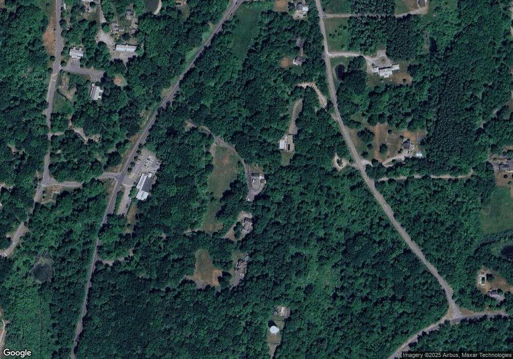
Map
Nearby Homes
- 145 Whalesback Rd
- 6 Dogwood St
- 28 Albie Rd
- 13 Chestnut St
- 10 Aspinwall Rd
- 32 Colonial Dr
- 84 Rockefeller Ln
- 234 W Market St
- 7679 Albany Post Rd
- 7641 N Broadway
- 7 Smith St
- 47 Clay Hill Rd
- 5084 New York 9g
- 16 Cherry St Unit 1 & 2
- 7441 S Broadway
- 18 Cambridge Dr
- 28 Colman Rd
- 0 Feller Newmark Rd
- 11 Cambridge Dr
- 10 Amherst Rd
- 4588 Route 9g
- 60 Whalesback Rd
- 4584 Route 9g
- LOTS 1-3 New York 9g
- 61 Whalesback Rd
- 51 Whalesback Rd
- 8 Old Whalesback Rd
- 2 Old Whalesback Rd
- 7 Old Whalesback Rd
- 14 Whalesback Rd
- 15 Whalesback Rd
- 27 Whalesback Rd
- 1525 Annandale Rd
- 1494 Annandale Rd
- 1498 Annandale Rd
- 67 Whalesback Rd
- 111 Whalesback Rd
- 63 Whalesback Rd
- 117 Kelly Rd
- 7 Whalesback Rd