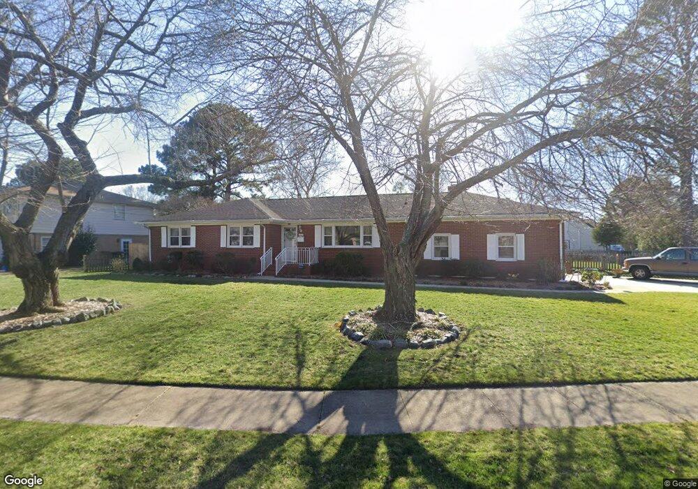
4625 Twain Ln Virginia Beach, VA 23455
Bayside NeighborhoodEstimated Value: $469,724 - $529,000
4
Beds
3
Baths
1,825
Sq Ft
$278/Sq Ft
Est. Value
About This Home
This home is located at 4625 Twain Ln, Virginia Beach, VA 23455 and is currently estimated at $508,181, approximately $278 per square foot. 4625 Twain Ln is a home located in Virginia Beach City with nearby schools including Thoroughgood Elementary School, Independence Middle School, and Bayside High School.
Ownership History
Date
Name
Owned For
Owner Type
Purchase Details
Closed on
Aug 7, 2003
Sold by
Jennings Charles
Bought by
Buckley Steve
Current Estimated Value
Home Financials for this Owner
Home Financials are based on the most recent Mortgage that was taken out on this home.
Original Mortgage
$214,200
Outstanding Balance
$91,986
Interest Rate
5.28%
Mortgage Type
VA
Estimated Equity
$416,195
Create a Home Valuation Report for This Property
The Home Valuation Report is an in-depth analysis detailing your home's value as well as a comparison with similar homes in the area
Home Values in the Area
Average Home Value in this Area
Purchase History
| Date | Buyer | Sale Price | Title Company |
|---|---|---|---|
| Buckley Steve | $210,000 | -- |
Source: Public Records
Mortgage History
| Date | Status | Borrower | Loan Amount |
|---|---|---|---|
| Open | Buckley Steve | $214,200 |
Source: Public Records
Tax History Compared to Growth
Tax History
| Year | Tax Paid | Tax Assessment Tax Assessment Total Assessment is a certain percentage of the fair market value that is determined by local assessors to be the total taxable value of land and additions on the property. | Land | Improvement |
|---|---|---|---|---|
| 2025 | $3,436 | $366,900 | $166,700 | $200,200 |
| 2024 | $3,436 | $354,200 | $166,700 | $187,500 |
| 2023 | $3,108 | $313,900 | $148,500 | $165,400 |
| 2022 | $3,008 | $303,800 | $141,400 | $162,400 |
| 2021 | $2,815 | $284,300 | $126,300 | $158,000 |
| 2020 | $2,788 | $274,000 | $126,300 | $147,700 |
| 2019 | $2,721 | $262,000 | $126,300 | $135,700 |
| 2018 | $2,627 | $262,000 | $126,300 | $135,700 |
| 2017 | $2,627 | $262,000 | $126,300 | $135,700 |
| 2016 | $2,625 | $265,200 | $126,300 | $138,900 |
| 2015 | $2,597 | $262,300 | $126,300 | $136,000 |
| 2014 | $2,268 | $258,300 | $126,300 | $132,000 |
Source: Public Records
Map
Nearby Homes
- 1020 Miles Standish Rd
- 904 Ewell Rd
- 1040 Patrick Henry Way
- 1025 Walt Whitman Way
- 1052 Miles Standish Rd
- 4660 Copperfield Rd
- 4712 White House Ln
- 1029 Ferry Plantation Rd
- 1121 Witchgate Ct
- 1228 Captain Adams Ct
- 1001 Ferry Plantation Rd
- 4833 Linshaw Ln
- 1364 Sir Richard Rd
- 840 Five Forks Rd
- 933 Ferry Plantation Rd
- 868 Rodin Ln
- 828 de La Fayette Ct
- 4712 Crossborough Rd
- 1448 Iredell Ct
- 4909 Westgrove Rd Unit X0837
- 4628 Truman Ln
- 4621 Twain Ln
- 4624 Truman Ln
- 4632 Truman Ln
- 4624 Twain Ln
- 4617 Twain Ln
- 4636 Truman Ln
- 4629 Priscilla Ln
- 4620 Truman Ln
- 1025 Miles Standish Rd
- 4628 Priscilla Ln
- 4625 Truman Ln
- 4627 Truman Ln
- 4623 Truman Ln
- 1024 Miles Standish Rd
- 4629 Truman Ln
- 4621 Truman Ln
- 4631 Truman Ln
- 4616 Twain Ln
- 4619 Truman Ln