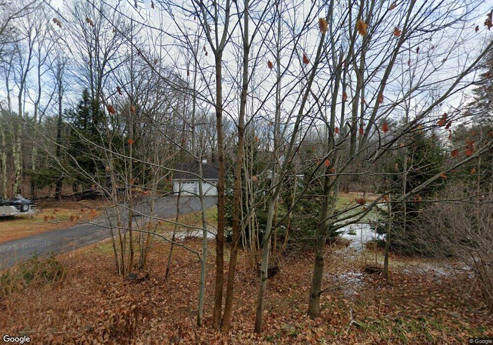
463 Blackstrap Rd Falmouth, ME 04105
Estimated Value: $631,000 - $906,000
3
Beds
2
Baths
1,666
Sq Ft
$436/Sq Ft
Est. Value
About This Home
This home is located at 463 Blackstrap Rd, Falmouth, ME 04105 and is currently estimated at $727,055, approximately $436 per square foot. 463 Blackstrap Rd is a home located in Cumberland County with nearby schools including Falmouth Middle School and Falmouth High School.
Ownership History
Date
Name
Owned For
Owner Type
Purchase Details
Closed on
May 6, 2009
Sold by
Noyes-Goss Julia D
Bought by
Noyes-Goss Julia D and James Goss H
Current Estimated Value
Create a Home Valuation Report for This Property
The Home Valuation Report is an in-depth analysis detailing your home's value as well as a comparison with similar homes in the area
Home Values in the Area
Average Home Value in this Area
Purchase History
| Date | Buyer | Sale Price | Title Company |
|---|---|---|---|
| Noyes-Goss Julia D | -- | -- | |
| Noyes-Goss Julia D | -- | -- | |
| Goss H James | -- | -- |
Source: Public Records
Mortgage History
| Date | Status | Borrower | Loan Amount |
|---|---|---|---|
| Open | Goss H James | $264,029 | |
| Closed | Goss H James | $268,000 |
Source: Public Records
Tax History Compared to Growth
Tax History
| Year | Tax Paid | Tax Assessment Tax Assessment Total Assessment is a certain percentage of the fair market value that is determined by local assessors to be the total taxable value of land and additions on the property. | Land | Improvement |
|---|---|---|---|---|
| 2024 | $6,889 | $514,900 | $229,700 | $285,200 |
| 2023 | $6,393 | $505,800 | $229,700 | $276,100 |
| 2022 | $6,029 | $505,800 | $229,700 | $276,100 |
| 2021 | $4,848 | $300,400 | $150,400 | $150,000 |
| 2020 | $5,122 | $300,400 | $150,400 | $150,000 |
| 2019 | $5,068 | $300,400 | $150,400 | $150,000 |
| 2018 | $4,948 | $300,400 | $150,400 | $150,000 |
| 2017 | $4,692 | $300,400 | $150,400 | $150,000 |
| 2016 | $4,480 | $296,900 | $150,400 | $146,500 |
| 2015 | $4,341 | $296,700 | $150,400 | $146,300 |
| 2014 | $4,042 | $296,700 | $150,400 | $146,300 |
| 2012 | -- | $296,700 | $150,400 | $146,300 |
Source: Public Records
Map
Nearby Homes
- 440 Blackstrap Rd
- 20 Babbidge Rd
- 11 Fox Run Rd
- 239 Hunter Way
- 148 Hunter Way
- 43 Lakeside Dr
- 19 Independence Way
- 7 Independence Way
- 104 Cottage Rd
- 328 Blackstrap Rd
- 22 Linsausiq Way
- 1 Orchard Rd
- 8 Koorbano Ln
- 12 Laurence Way
- 12 Summit Terrace
- 0 Pointer Way Unit LOT 57
- 53 Johnson Rd
- 8 Livrite Way
- 12 Critter Dr
- 7 Birdsong Ln
- 471 Blackstrap Rd
- 451 Blackstrap Rd
- 0 Hidden Oaks Way Unit 1488068
- 474 Blackstrap Rd
- 17 S Ridge Rd
- 448 Blackstrap Rd
- 9 Hidden Oaks Way
- 482 Blackstrap Rd
- 443 Blackstrap Rd
- 452 Blackstrap Rd
- 27 S Ridge Rd Unit Lot 18
- 27 S Ridge Rd
- 30 S Ridge Rd
- 456 Blackstrap Rd
- 456 Blackstrap Rd Unit 1,2,3
- 456 Blackstrap Rd Unit 2
- 456 Blackstrap Rd Unit 3
- 456 Blackstrap Rd Unit 1
- 33 S Ridge Road (Lot 16)