Estimated Value: $400,690 - $449,000
About This Home
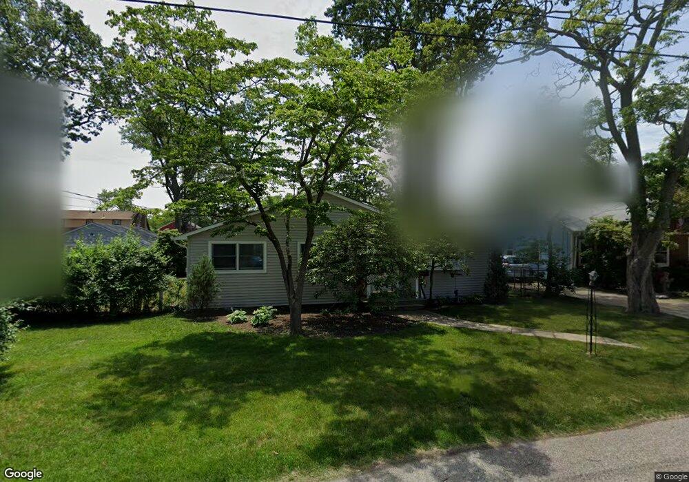
This home is located at 463 Burnt Bark Rd, Brick, NJ 08723 and is currently estimated at $426,173, approximately $393 per square foot. 463 Burnt Bark Rd is a home located in Ocean County with nearby schools including Emma Havens Young Elementary School, Lake Riviera Middle School, and Brick Township High School.
Ownership History
We collect this data history from publicly available records. To have your information removed, we recommend requesting removal directly through your county’s website.
Purchase Details
Home Financials for this Owner
Home Financials are based on the most recent Mortgage that was taken out on this home.Purchase Details
Home Financials for this Owner
Home Financials are based on the most recent Mortgage that was taken out on this home.Home Values in the Area
Average Home Value in this Area
Purchase History
We collect this data history from publicly available records. To have your information removed, we recommend requesting removal directly through your county’s website.
| Date | Buyer | Sale Price | Title Company |
|---|---|---|---|
| $245,000 | Counsellors Title Agency Inc | ||
| -- | Old Republic National Title |
Mortgage History
We collect this data history from publicly available records. To have your information removed, we recommend requesting removal directly through your county’s website.
| Date | Status | Borrower | Loan Amount |
|---|---|---|---|
| Open | $196,000 | ||
| Previous Owner | $125,000 |
Tax History
We collect this data history from publicly available records. To have your information removed, we recommend requesting removal directly through your county’s website.
| Year | Tax Paid | Tax Assessment Tax Assessment Total Assessment is a certain percentage of the fair market value that is determined by local assessors to be the total taxable value of land and additions on the property. | Land | Improvement |
|---|---|---|---|---|
| 2025 | $5,710 | $210,400 | $131,500 | $78,900 |
| 2024 | $5,165 | $210,400 | $131,500 | $78,900 |
| 2023 | $5,098 | $210,400 | $131,500 | $78,900 |
| 2022 | $5,098 | $210,400 | $131,500 | $78,900 |
| 2021 | $4,991 | $210,400 | $131,500 | $78,900 |
| 2020 | $4,928 | $210,400 | $131,500 | $78,900 |
| 2019 | $4,846 | $210,400 | $131,500 | $78,900 |
| 2018 | $4,734 | $210,400 | $131,500 | $78,900 |
| 2017 | $4,606 | $210,400 | $131,500 | $78,900 |
| 2016 | $4,583 | $210,400 | $131,500 | $78,900 |
| 2015 | $4,463 | $210,400 | $131,500 | $78,900 |
| 2014 | $4,427 | $210,400 | $131,500 | $78,900 |
Map
- 474 Burnt Bark Rd
- 478 Augustus Rd
- 56 Tall Timber Dr
- 477 Mantoloking Rd
- 0 Mantoloking Rd Unit East of 113 crosses
- 421 Malibu Way
- 497 Pinecroft Dr
- 418 Greenwood Ln
- 00 Mantoloking Rd
- 439 Adamston Rd
- 437 Adamston Rd
- 521 Dorothy Place
- 33 Wintergreen Ave
- 558 Mark Dr
- 586 Kingfisher Cir
- 45 Red Wing Ave
- 592 Kingfisher Cir
- 31 Nejecho Dr
- 593 Beach Plum Rd
- 353 Church Rd
- 461 Augustus Rd
- 459 Augustus Rd
- 465 Augustus Rd
- 462 Burnt Bark Rd
- 457 Augustus Rd
- 460 Burnt Bark Rd
- 464 Burnt Bark Rd
- 467 Augustus Rd
- 464 Augustus Rd
- 458 Burnt Bark Rd
- 462 Augustus Rd
- 466 Burnt Bark Rd
- 466 Augustus Rd
- 38 Taylor Dr
- 469 Augustus Rd
- 42 Taylor Dr
- 34 Taylor Dr
- 470 Augustus Rd
- 468 Burnt Bark Rd
- 473 Augustus Rd
Ask me questions while you tour the home.