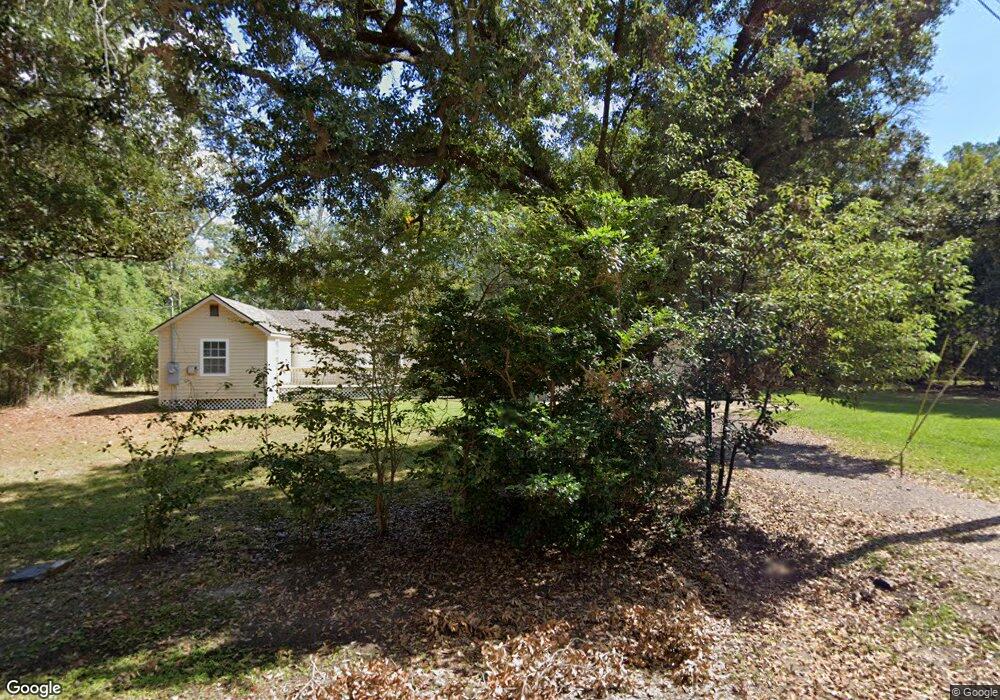
4630 Alemand St Moss Point, MS 39563
Estimated Value: $95,000 - $97,480
3
Beds
2
Baths
1,250
Sq Ft
$77/Sq Ft
Est. Value
About This Home
This home is located at 4630 Alemand St, Moss Point, MS 39563 and is currently estimated at $96,370, approximately $77 per square foot. 4630 Alemand St is a home located in Jackson County with nearby schools including Kreole Primary Elementary School, Escatawpa Upper Elementary School, and Magnolia Middle School.
Ownership History
Date
Name
Owned For
Owner Type
Purchase Details
Closed on
Sep 20, 2010
Sold by
Benjamin Larry P and Benjamin Amy
Bought by
Benjamin Larry P
Current Estimated Value
Purchase Details
Closed on
Feb 17, 2010
Sold by
Benjamin Larry P and Benjamin Harold L
Bought by
Benjamin Larry P and Benjamin Amy
Home Financials for this Owner
Home Financials are based on the most recent Mortgage that was taken out on this home.
Original Mortgage
$54,985
Interest Rate
5.35%
Mortgage Type
FHA
Create a Home Valuation Report for This Property
The Home Valuation Report is an in-depth analysis detailing your home's value as well as a comparison with similar homes in the area
Home Values in the Area
Average Home Value in this Area
Purchase History
| Date | Buyer | Sale Price | Title Company |
|---|---|---|---|
| Benjamin Larry P | -- | -- | |
| Benjamin Larry P | -- | -- | |
| Benjamin Larry P | -- | -- |
Source: Public Records
Mortgage History
| Date | Status | Borrower | Loan Amount |
|---|---|---|---|
| Previous Owner | Benjamin Larry P | $54,985 |
Source: Public Records
Tax History Compared to Growth
Tax History
| Year | Tax Paid | Tax Assessment Tax Assessment Total Assessment is a certain percentage of the fair market value that is determined by local assessors to be the total taxable value of land and additions on the property. | Land | Improvement |
|---|---|---|---|---|
| 2024 | -- | $4,560 | $416 | $4,144 |
| 2023 | $0 | $4,560 | $416 | $4,144 |
| 2022 | $0 | $4,560 | $416 | $4,144 |
| 2021 | $578 | $4,598 | $416 | $4,182 |
| 2020 | $578 | $4,684 | $452 | $4,232 |
| 2019 | $578 | $4,684 | $452 | $4,232 |
| 2018 | $578 | $4,684 | $452 | $4,232 |
| 2017 | $575 | $4,684 | $452 | $4,232 |
| 2016 | $145 | $4,684 | $452 | $4,232 |
| 2015 | $144 | $46,730 | $4,520 | $42,210 |
| 2014 | $144 | $4,673 | $452 | $4,221 |
| 2013 | $144 | $4,673 | $452 | $4,221 |
Source: Public Records
Map
Nearby Homes
- 0 Martin St
- 0 Dye Ave
- 0 Lloyd St
- 7325 Grierson St
- 4527 Kreole Ave
- 4806 Larimore St
- 4331 Kreole Ave
- 0 Mill St
- 4513 Mill St
- 00 Bayou Cumbest Rd
- 4337 Terrace Dr
- 6519 Linda Cir
- 4100 Karen St
- 6118 Frederick St
- 0 Highway 63 Hwy Unit 4047997
- 6109 Shortcut Rd
- 4607 Briggs St
- 3801 Canal St
- 0 Elder St Unit 4131784
- 6401 Frederick St