4630 Linwood St West Bloomfield, MI 48324
Estimated Value: $619,000 - $867,000
3
Beds
4
Baths
2,476
Sq Ft
$287/Sq Ft
Est. Value
About This Home
This home is located at 4630 Linwood St, West Bloomfield, MI 48324 and is currently estimated at $710,774, approximately $287 per square foot. 4630 Linwood St is a home located in Oakland County with nearby schools including Waterford Montessori Academy, Our Lady Of Refuge School, and St Mary's Preparatory School.
Ownership History
Date
Name
Owned For
Owner Type
Purchase Details
Closed on
Nov 6, 2006
Sold by
Dresbach Kyle E and Dresbach Darlene L
Bought by
Riccardi Robert and Riccardi Sandra M
Current Estimated Value
Home Financials for this Owner
Home Financials are based on the most recent Mortgage that was taken out on this home.
Original Mortgage
$270,100
Outstanding Balance
$161,467
Interest Rate
6.4%
Mortgage Type
Purchase Money Mortgage
Estimated Equity
$549,307
Purchase Details
Closed on
Dec 8, 1997
Sold by
Kaechle Ralph F
Bought by
Kaechle Ralph F
Create a Home Valuation Report for This Property
The Home Valuation Report is an in-depth analysis detailing your home's value as well as a comparison with similar homes in the area
Home Values in the Area
Average Home Value in this Area
Purchase History
| Date | Buyer | Sale Price | Title Company |
|---|---|---|---|
| Riccardi Robert | $225,000 | Title Source Inc | |
| Kaechle Ralph F | -- | -- |
Source: Public Records
Mortgage History
| Date | Status | Borrower | Loan Amount |
|---|---|---|---|
| Open | Riccardi Robert | $270,100 |
Source: Public Records
Tax History Compared to Growth
Tax History
| Year | Tax Paid | Tax Assessment Tax Assessment Total Assessment is a certain percentage of the fair market value that is determined by local assessors to be the total taxable value of land and additions on the property. | Land | Improvement |
|---|---|---|---|---|
| 2024 | $4,652 | $344,960 | $0 | $0 |
| 2022 | $4,373 | $280,550 | $62,370 | $218,180 |
| 2021 | $7,404 | $257,850 | $0 | $0 |
| 2020 | $4,240 | $247,470 | $62,370 | $185,100 |
| 2018 | $7,099 | $227,540 | $77,960 | $149,580 |
| 2015 | -- | $170,620 | $0 | $0 |
| 2014 | -- | $148,970 | $0 | $0 |
| 2011 | -- | $149,860 | $0 | $0 |
Source: Public Records
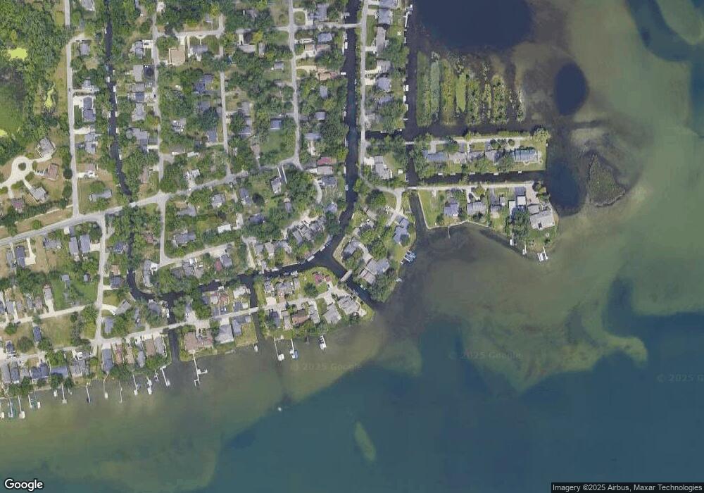
Map
Nearby Homes
- 2115 Aldwin Dr
- 1677 Parkview Ave
- 5149 Latimer St
- 5145 Greer Rd
- 4764 Dow Ridge Rd
- 4796 Dow Ridge Rd
- 1522 Oregon Ct
- 1859 Poppleton Dr
- 2780 Orchard Place
- 4098 Parkway
- 1844 Poppleton Dr
- 1753 Dawncrest Dr
- 5190 Westcombe Ln
- 3102 Rose Ln
- Lots Green Lake Langtoft
- VAC Daron Ln
- 2110 Peachtree Ct
- 4041 Chenlot Ln
- 1575 Parkway
- 5699 Applegrove Dr
- 4620 Linwood St
- 4675 Mapleview Ave
- 4685 Mapleview Ave
- 2031 Mapleview Ave
- 4625 Linwood St
- 4660 Linwood St
- 4691 Mapleview Ave
- 4629 Linwood St
- 4610 Linwood St
- 4659 Linwood St Unit Bldg-Unit
- 4659 Linwood St
- 4707 Mapleview Ave
- 4680 Linwood St
- 4690 Mapleview Ave
- 4601 Linwood St
- 4665 Linwood St
- 2021 Auburndale Ave
- 2011 Auburndale Ave
- 4690 Linwood St
- 4671 Linwood St