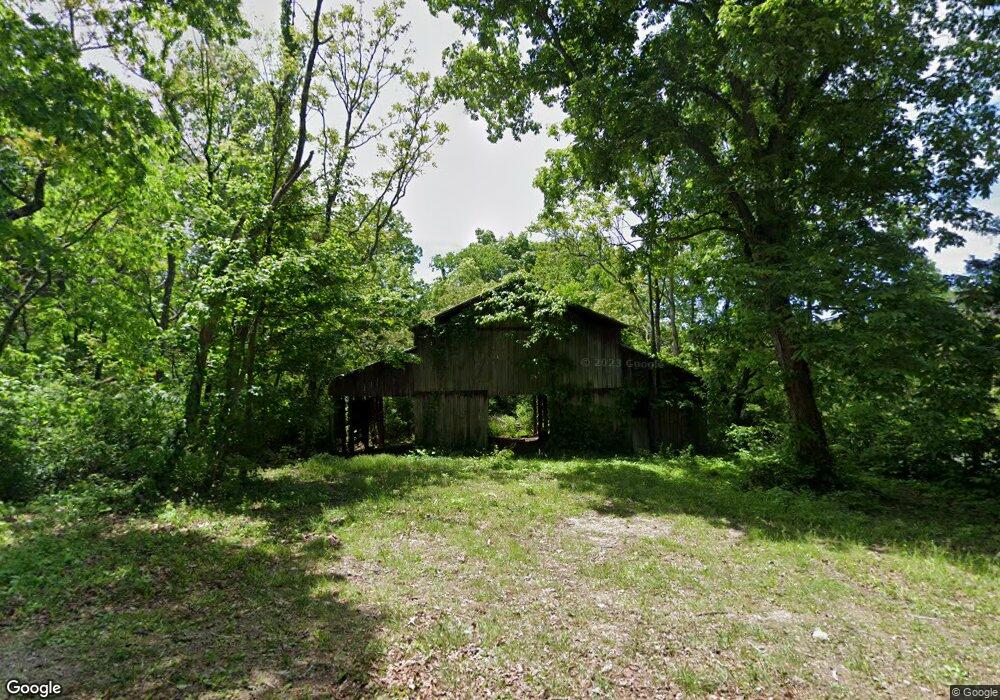
4634 Southfork Cir Morristown, TN 37813
Estimated Value: $220,023 - $333,000
--
Bed
--
Bath
--
Sq Ft
13.72
Acres
About This Home
This home is located at 4634 Southfork Cir, Morristown, TN 37813 and is currently estimated at $276,512. 4634 Southfork Cir is a home located in Hamblen County with nearby schools including Union Heights Elementary School, East Ridge Middle School, and Morristown East High School.
Ownership History
Date
Name
Owned For
Owner Type
Purchase Details
Closed on
Jun 20, 2024
Sold by
Taylor Bobby M and Taylor Susan R
Bought by
Bobby M Taylor And Susan R Taylor Community P and Taylor
Current Estimated Value
Purchase Details
Closed on
Nov 17, 2016
Sold by
Long Ronnie L
Bought by
Taylor Bobby M and Taylor Susan R
Purchase Details
Closed on
Jan 11, 1995
Sold by
Bolton Lois S and Strange Charles
Bought by
Long Ronnie L
Purchase Details
Closed on
Apr 11, 1972
Bought by
Strange Charles and Bolton Lois S
Create a Home Valuation Report for This Property
The Home Valuation Report is an in-depth analysis detailing your home's value as well as a comparison with similar homes in the area
Home Values in the Area
Average Home Value in this Area
Purchase History
| Date | Buyer | Sale Price | Title Company |
|---|---|---|---|
| Bobby M Taylor And Susan R Taylor Community P | -- | None Listed On Document | |
| Taylor Bobby M | $150,000 | -- | |
| Long Ronnie L | $80,000 | -- | |
| Strange Charles | -- | -- |
Source: Public Records
Tax History Compared to Growth
Tax History
| Year | Tax Paid | Tax Assessment Tax Assessment Total Assessment is a certain percentage of the fair market value that is determined by local assessors to be the total taxable value of land and additions on the property. | Land | Improvement |
|---|---|---|---|---|
| 2024 | $499 | $25,350 | $24,925 | $425 |
| 2023 | $499 | $25,350 | $0 | $0 |
| 2022 | $499 | $25,350 | $24,925 | $425 |
| 2021 | $499 | $25,350 | $24,925 | $425 |
| 2020 | $615 | $28,925 | $28,500 | $425 |
| 2019 | $615 | $28,875 | $28,500 | $375 |
| 2018 | $615 | $28,875 | $28,500 | $375 |
| 2017 | $615 | $28,875 | $28,500 | $375 |
| 2016 | $575 | $28,875 | $28,500 | $375 |
| 2015 | $534 | $28,875 | $28,500 | $375 |
| 2014 | -- | $28,875 | $28,500 | $375 |
| 2013 | -- | $34,200 | $0 | $0 |
Source: Public Records
Map
Nearby Homes
- 848 Spencer Hale Rd
- 4996 Saint Paul Rd
- 4207 Clyde Thomas Rd
- 5056 Spencer Hale Rd
- 0 Tbd River View Dr Unit Lot@WP001
- 1163 Nathan Dr
- 58/Ac Tbd River View Dr
- 58/Ac Tbd River View Dr Unit 2
- TBD Buell Chapel Rd
- 236 Sequoyah Dr
- 5474 Saint Paul Rd
- 5262 Buell Chapel Rd
- 2036 River View Dr
- 2034 River View Dr
- 2034 River View Dr Unit 1
- 1500 S Davy Crockett Pkwy
- 1051 Wilson Hale Rd
- 5704 Long Creek Rd
- 0 Springvale Rd
- 4520 Enka Hwy
- 4600 Southfork Cir
- 4621 Southfork Cir
- 4661 Southfork Cir
- 4595 Southfork Cir
- 4603 Southfork Cir
- 4581 Southfork Cir
- 4573 Southfork Cir
- 4510 Southfork Cir
- 4504 Southfork Cir
- 4545 Southfork Cir
- 4545 Southfork Cir
- 4475 Spencer Hale Rd
- 4551 Southfork Cir
- 4349 Spencer Hale Rd
- Lot 19 S Fork Cir
- 4758 Southfork Cir
- 4343 Spencer Hale Rd
- 0 Southfork Cir Unit 612442
- Lot # 11 Southfork Cir
- 0 Southfork Cir Unit 587805