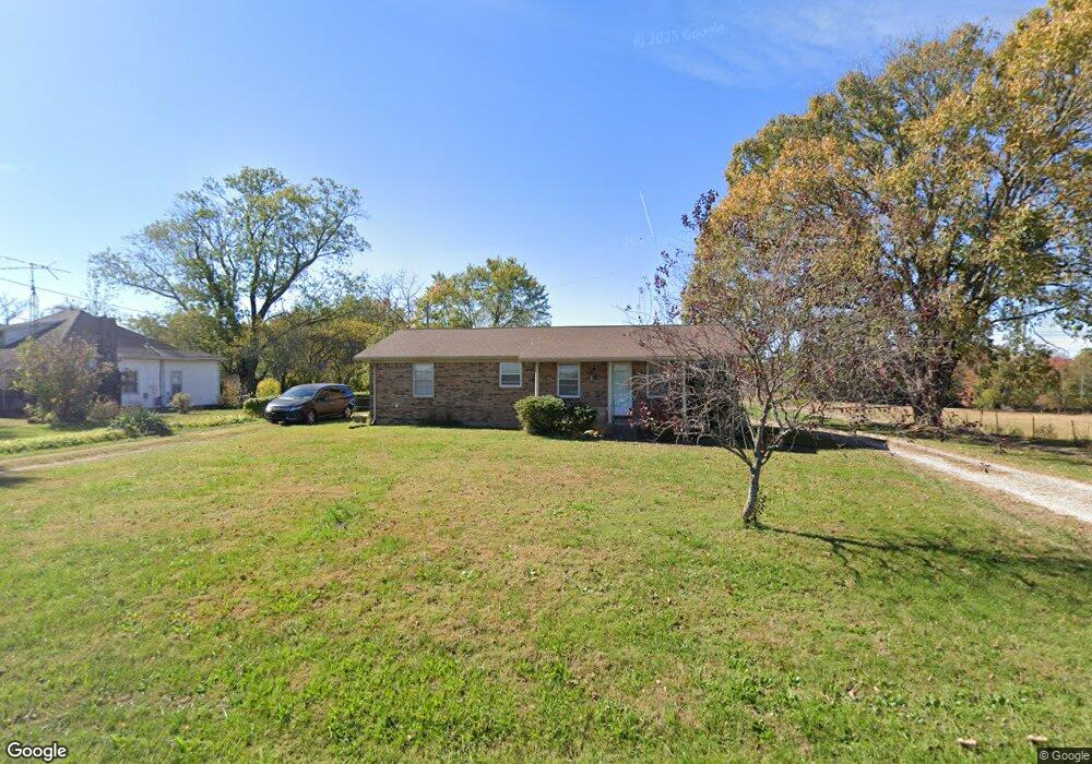
4635 Baxter Rd Baxter, TN 38544
Estimated Value: $166,615 - $254,000
2
Beds
1
Bath
1,015
Sq Ft
$206/Sq Ft
Est. Value
About This Home
This home is located at 4635 Baxter Rd, Baxter, TN 38544 and is currently estimated at $209,404, approximately $206 per square foot. 4635 Baxter Rd is a home located in Putnam County with nearby schools including Baxter Primary School, Cornerstone Elementary School, and Upperman Middle School.
Ownership History
Date
Name
Owned For
Owner Type
Purchase Details
Closed on
Jun 2, 2014
Sold by
Bush Betty Jo
Bought by
Asberry Stephen W Barbara
Current Estimated Value
Purchase Details
Closed on
Apr 8, 1994
Sold by
Jo Bush Betty
Bought by
Maxwell Lillard M
Purchase Details
Closed on
Jun 4, 1993
Bought by
Church Lilys Chapel Freewill Baptist
Purchase Details
Closed on
May 30, 1946
Bought by
Maxwell Lorene
Create a Home Valuation Report for This Property
The Home Valuation Report is an in-depth analysis detailing your home's value as well as a comparison with similar homes in the area
Purchase History
| Date | Buyer | Sale Price | Title Company |
|---|---|---|---|
| Asberry Stephen W Barbara | $65,000 | -- | |
| Maxwell Lillard M | $45,000 | -- | |
| Church Lilys Chapel Freewill Baptist | -- | -- | |
| Maxwell Lorene | -- | -- |
Source: Public Records
Tax History
| Year | Tax Paid | Tax Assessment Tax Assessment Total Assessment is a certain percentage of the fair market value that is determined by local assessors to be the total taxable value of land and additions on the property. | Land | Improvement |
|---|---|---|---|---|
| 2025 | $671 | $25,225 | $3,950 | $21,275 |
| 2024 | $671 | $25,225 | $3,950 | $21,275 |
| 2023 | $671 | $25,225 | $3,950 | $21,275 |
| 2022 | $624 | $25,225 | $3,950 | $21,275 |
| 2021 | $601 | $25,225 | $3,950 | $21,275 |
| 2020 | $549 | $24,300 | $3,950 | $20,350 |
| 2019 | $549 | $18,750 | $3,125 | $15,625 |
| 2018 | $512 | $18,750 | $3,125 | $15,625 |
| 2017 | $512 | $18,750 | $3,125 | $15,625 |
| 2016 | $493 | $18,050 | $3,125 | $14,925 |
| 2015 | $506 | $18,050 | $3,125 | $14,925 |
| 2014 | $484 | $17,260 | $0 | $0 |
Source: Public Records
Map
Nearby Homes
- 260 Dale Mires Ln
- 4050 Baxter Rd
- 7140 Honeysuckle Trail
- 6950 Honeysuckle Trail
- 5834 Canoe Way
- 6070 Ditty Rd
- 7036 J D Randolph Rd
- 0 Riverwatch Trace Unit RTC3097528
- 0 Riverwatch Trace Unit RTC3118464
- 181 Dale Mires Ln
- 212 Dale Mires Ln
- 252 Dale Mires Ln
- 191 Dale Mires Ln
- 5635 Dogwood Dr
- 267 London Ct
- 261 London Ct
- 272 London Ct
- 1790 Coon Hunt Rd
- ELSTON Plan at Paddington Place
- CABRAL Plan at Paddington Place
- 4651 Baxter Rd
- 4723 Baxter Rd
- 4621 Baxter Rd
- 4507 Baxter Rd
- 4570 Baxter Rd
- 4971 Baxter Rd
- 7015 Maxwell Landing
- 7035 Maxwell Landing
- 4991 Baxter Rd
- 7055 Maxwell Landing
- 7075 Maxwell Landing
- 6.27 AC Maxwell Landing
- 00 Maxwell Landing
- 7000 Maxwell Landing
- 7129 Coleman Cir
- 7125 Coleman Cir
- 7010 Maxwell Landing
- 7133 Coleman Cir
- 7030 Maxwell Landing
- 7020 Maxwell Landing